Wales Coast Path Run – Redbrook to Newport
Coast Path Vital Stats
Redbrook to Newport
- Distance: 13.96 miles
- Elevation Gain Today: 24m
- Highest Elevation: 6m
- Time: 2:17:29
- Av. Pace: 9:51 mins/mile
- Calories: 1650
Totals to Date
- Total Distance: 662.96 miles
- Total Time: 123:49:19
- Total Elevation Gain: 20518
- Total Calories: 60752
- Distance to go: 427 miles
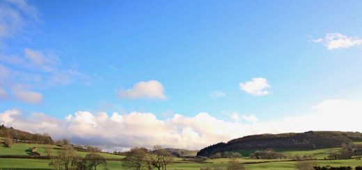
With only a couple of days away over the weekend since my last Coast Path run it was back to it again on a dreary, grey Monday morning. Anna and I had been away in Dorset for the weekend where we had a Saturday Night Feast at River Cottage HQ. We drove back to my parents house on Sunday and were now heading back home via a section of Coast Path. The snow had melted completely, it had been raining overnight and now we had a grey drizzly day – ‘grizzle’ as far as the eye could see.
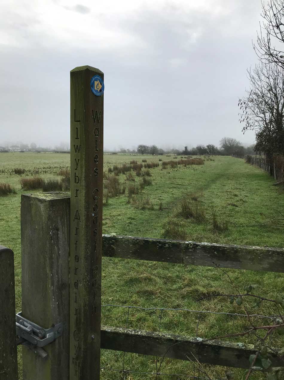
We drove to Redbrook where I had finished my run on Friday and I was soon heading off into the murk along the same muddy track I had ran along a few days ago. This time I was heading back towards the Severn Estuary and the Wales Coast Path. I joined it exactly where I left it and continued on my way.
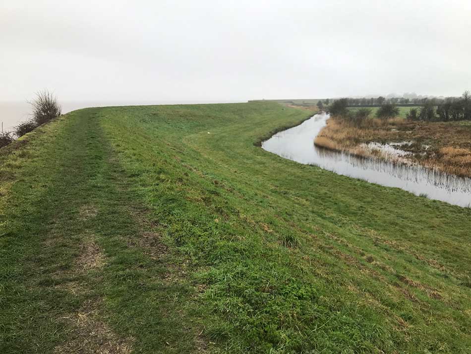
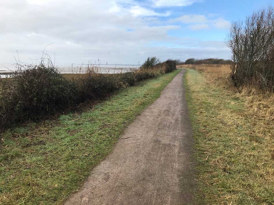
The final 4 miles of the previous run had been along the top of the sea wall embankment and so it continued. Another 3 miles along the embankment with the River Severn to my left and a muddy track to my right.
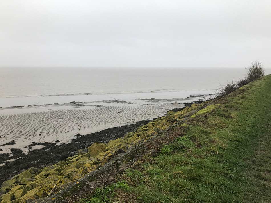
The snow melt had made the ground particularly soggy and quite slippery in places too so I had to keep my wits about me, but it was fairly easy going with not much to see. I couldn’t see much out across the estuary today and there was little happening elsewhere. Eventually the muddy path to my right did become a drainage ditch which added a little to the interest, and there was a large pink farmhouse to run past at one point. Otherwise, that was it.
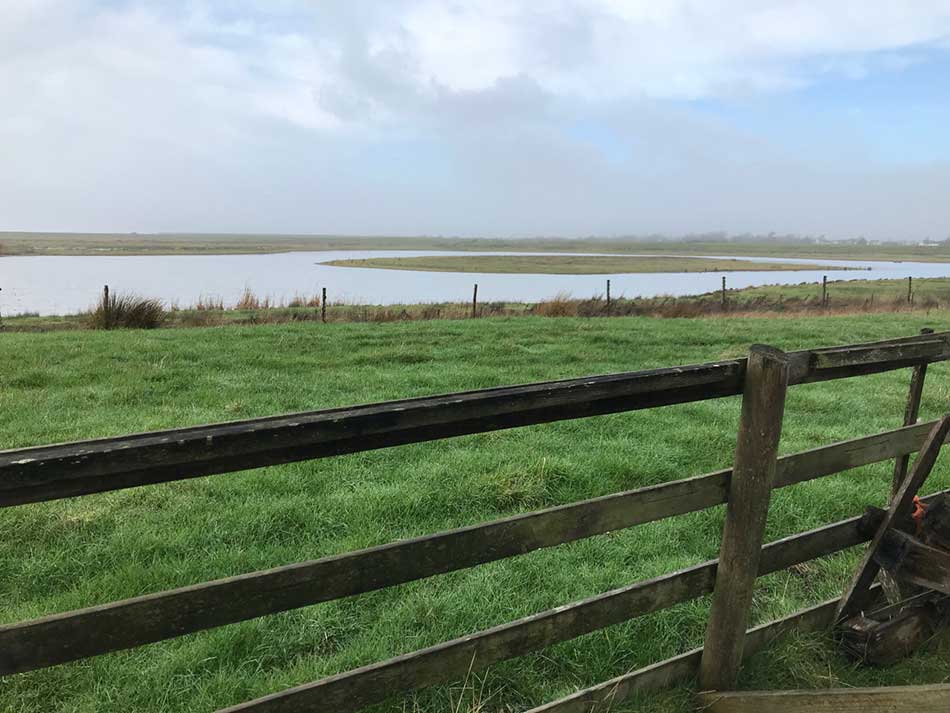
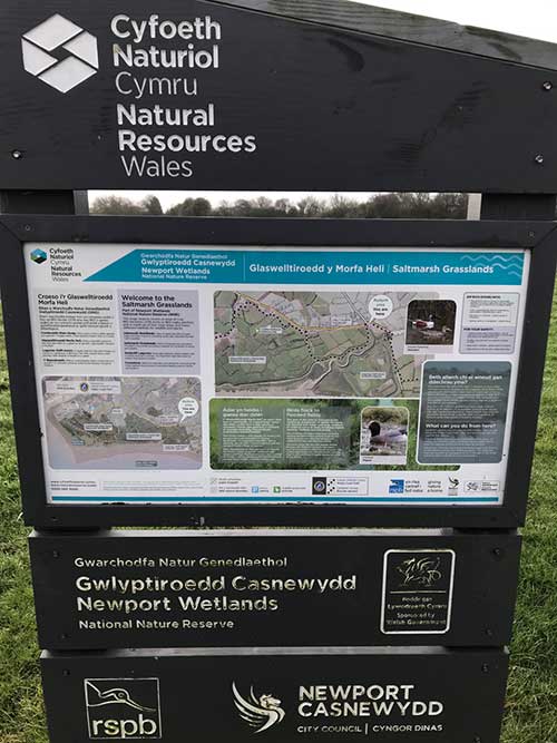
Goldcliff Lagoons
After a few miles the sign directed me down off the embankment past a little tearoom and then off through muddy fields around the Goldcliff Lagoons. The Goldcliff Lagoons is part of the Newport Wetlands Reserve which is maintained by Natural Resources Wales (NRW). This area consists of three water bodies, Monk’s, Prior’s and Bec’s Lagoon. There are three hides (Greenshank, Curlew and Avocet) and several view points (Redshank, Lapwing, Snipe and Marsh). I stopped to take a quick photo here and there an look out over the lagoons, but there wasn’t much to see today. I did notice however that the clouds were lifting somewhat and the drizzle had stopped.
Newport Wetlands Reserve
I emerged out onto a road for a short while and then off into another section of the Newport Wetlands Reserve.
This took me alongside a large embankment and through some particularly sloshy fields – Its not called a wetlands reserve for nothing. The route then snaked its way through fields and over drainage ditches with numerous gates to go through. I think there may have been a slight detour somewhere around her in order to avoid nesting birds but I followed the signs as I made my way along little lanes, across waterlogged fields and alongside lagoons.
There was then a long section along Saltmarsh Lane which took me into the Newport Wetlands RSPB reserve. Here the paths were well maintained as I followed the signs out onto the coastal edge of the reserve.
The Coast Path as you would expect follows the coastline through the reserve. I therefore once again had the Severn Estuary to my left and the nature reserve to my right.
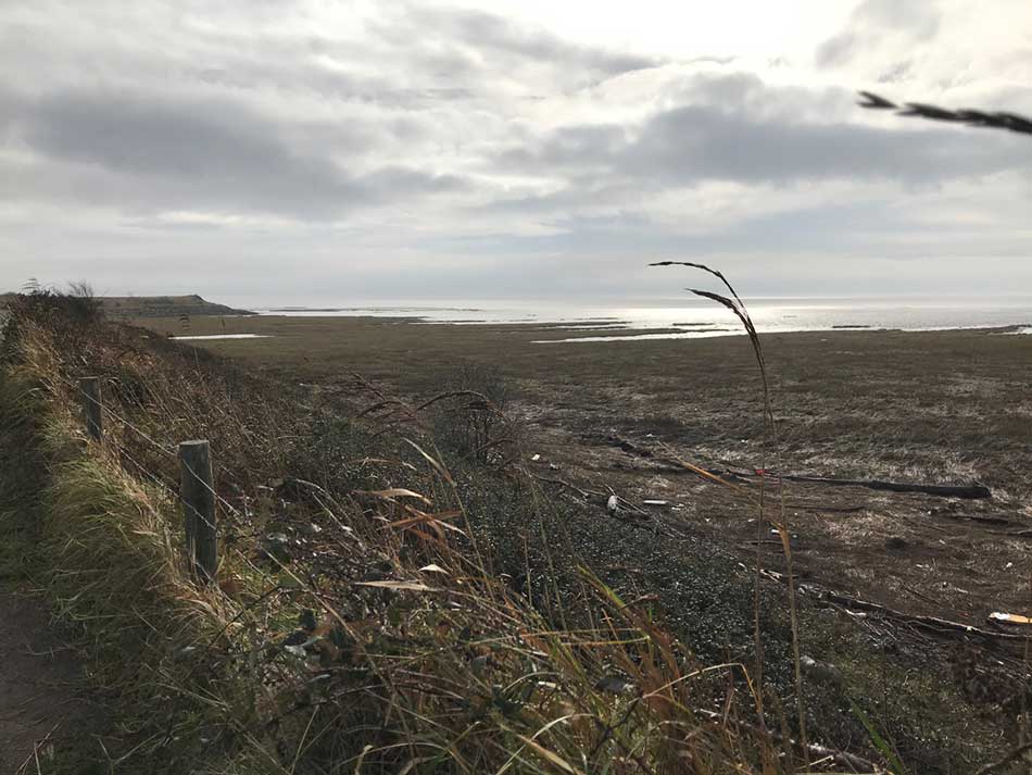
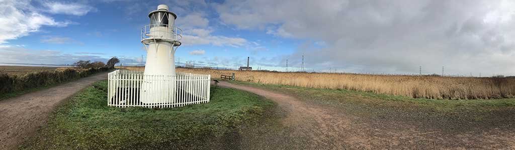
It was fairly quiet here today but I did see one or two people out for a stroll. The clouds were clearing now and there was even some blue sky. The path loops all the way around the reserve, past a lighthouse and then on to the far corner where the River Usk emerges.
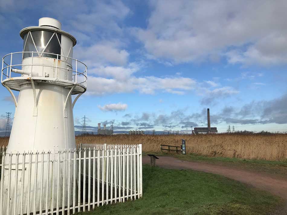
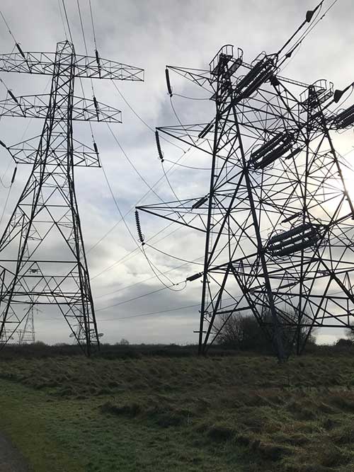
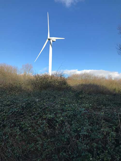
Here the landscape was dominated by the large chimneys of heavy industry and some giant wind turbines. Huge electricity pylons marched across the countryside too.
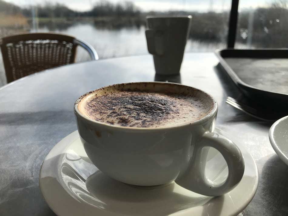
The Coast Path doubles back on itself and continues to follow the edge of the RSPB reserve right around to the Visitor Centre. I had planned to meet Anna here so I headed into the large, well-equipped building. Anna was sat there waiting and had already had at least one cup of tea. I had a cappuccino and some fruit cake and sat there chatting for a while.
I wasn’t ending my run here for the day though so I couldn’t sit around for too long. The sun was now shining and the day looked much nicer than it had earlier.
In to Newport
We made some plans on where to meet and off I headed once again. I left the RSPB reserve behind me and headed off across waterlogged fields. There were little wooden walkways over some of the wetter areas, but the wood on these was lethally slippery. I edged my way over them whenever the water beside them was too deep to wade through. Otherwise it was safer just to splash through the soggy grassland.
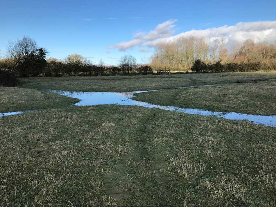
Things were warming up now that the sun was out so wet feet weren’t too much of an issue. The route took me through a number of such soggy fields, each with little slippery bridges over hedge lined drainage ditches at their boundaries. I lost count of the number of gates I had to negotiate. Actually, to be honest I never started counting in the first place – the geek in me kind of wishes I’d started counting gates and stiles right from the beginning of my run around Wales so that I could have kept a tally.
The fields soon gave way to a road and then a track through some scrubby birch woodland. Here giant turbines dwarfed the trees as I approached the outskirts of Newport.
All of a sudden I was out of the woods and onto a dirty, smelly industrial road. Not the sort of roads that cars frequent, just one for huge lorries and trucks as it led to power stations and steel works. This was a land of heavy industry where a lone runner like me felt very small. There were huge dockyards and towering buildings, pipelines and conveyer belts and a sudden onslaught of noise and dirt.
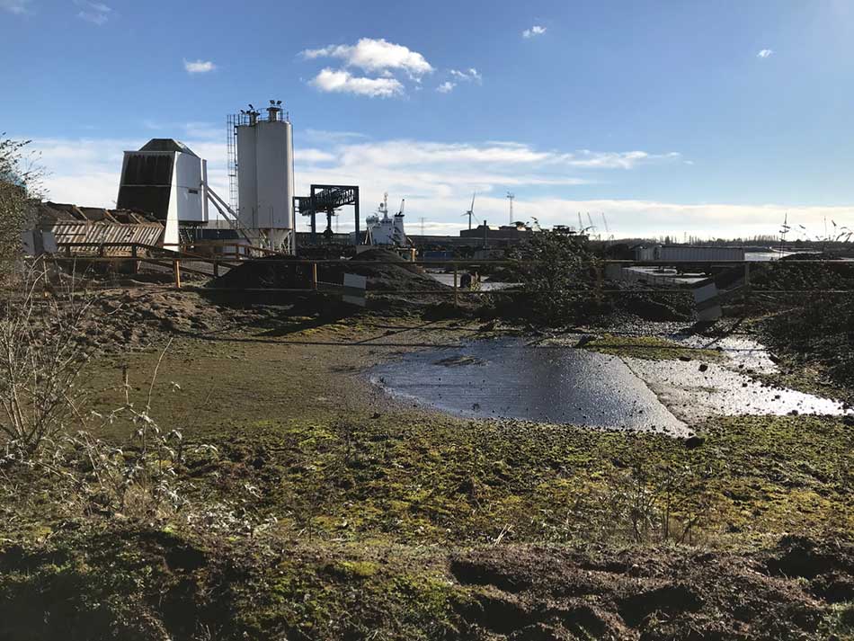
It didn’t last too long though. I ran past a line of articulated lorries and then out onto a path that skirted one of the works. There was a fence to one side and now the muddy banks of the River Usk to my left. On the far shore were more huge buildings. There were also small boats moored at the end of little jetties. The tide was low so these were all stuck firmly in deep mud waiting for the high tide to release them once again.
The various works on my right were fascinating in their own right as pipelines snaked around hug areas of land. Each had warning signs proclaiming all sorts of hazards. The raised pipelines seemed to meander haphazardly around the various works before disappearing into some huge steel construction of one type or another. These sorts of places always amaze me. I can’t imagine how anyone would design such a thing and can only assume that they kind of grow almost organically out of a need to get ever bigger and ever better with new parts being added all the time. Not my kind of scenery really but there is something impressive about them too.
Transporter Bridge
The route continued to take me alongside these industrial areas but now ahead of me I could see the unmistakable outline of the Newport Transporter Bridge.
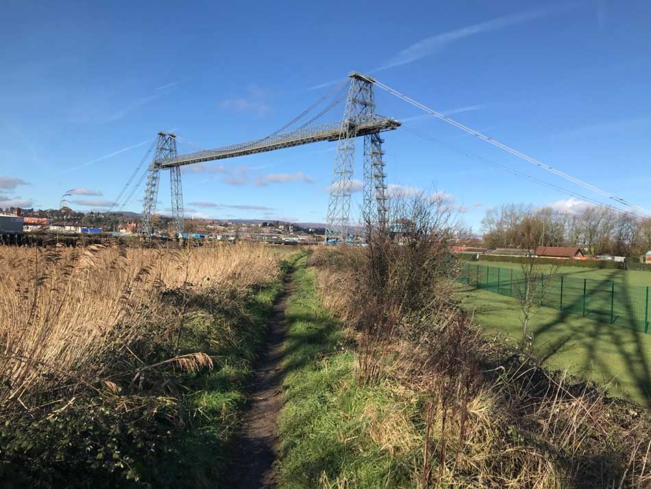
I’d never seen this in person before, although I do recall seeing it on TV. I didn’t take much notice of it then but now that it was in front of me I wanted to know more about it. It was built and opened in 1906. The design was chosen because the river banks are very low at the desired crossing point (a few miles south of the city centre). Here an ordinary bridge would need a very long approach ramp to attain sufficient height to allow ships to pass under it. The other alternative would be a ferry but that couldn’t be used during low tide. The transporter Bridge is kind of a combination of the two. It’s not really a bridge as you would expect but instead a huge gantry from which a gondola hangs. The gondola is then moved from one side to the other like a ferry would.
Some details from Wikipedia:
The height of the towers is 73.6 metres (241.5 ft), and the height to the underside of the main girder truss above the road level is 49.97 m (163.9 ft). The span between the centres of the towers is 196.56 m (644.9 ft), and the clearance between the towers is quoted as being 180.44 m (592.0 ft); however, including the cantilevered sections, the main girder truss gives the bridge an overall length of 236 m (774.3 ft). The distance between the centres of the anchorage caissons is 471.06 m (1,545.5 ft). Power to propel the transporter platform or gondola is provided by two 35 hp (26.1 kW) electric motors, which in turn drive a large winch, situated in an elevated winding house at the eastern end of the bridge. This winch is sufficient to drive the gondola through its 196.56 m (644.9 ft) total travel at a speed of 3 metres per second (9.8 ft/s).
The Newport Transporter Bridge is the oldest and largest of the three historic transporter bridges which remain in Britain, and also the largest of eight such bridges which remain worldwide).
Today, the bridge is widely regarded as the most recognisable symbol of the city of Newport. As well as a working transport link, the bridge is also open as a tourist attraction – visitors can climb the towers and walk across the upper deck for a small charge and it forms part of the classified highway network and is also where route 4 of the National Cycle Network crosses the River Usk and route 47 begins.
It looked pretty impressive from my viewpoint and I was glad I got to see it with blue sky as a backdrop. It was also a fairly fitting place to end todays run. I still had a mile or so to go through the long wide streets of Newport but soon found Anna parked in a little housing estate. I got changed and off we headed through Wales towards home.
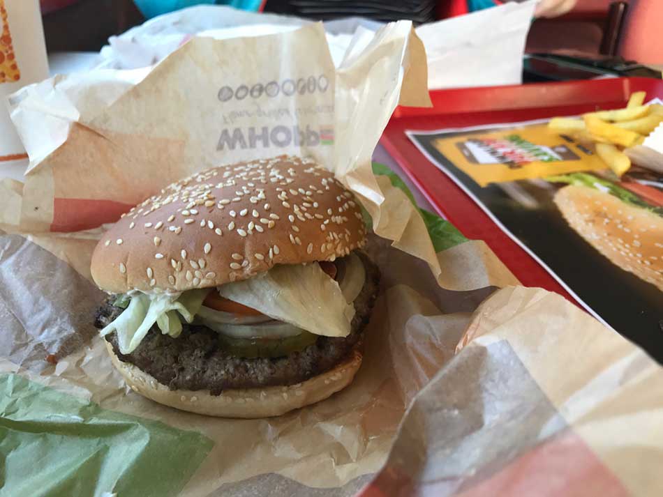
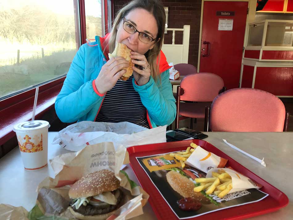
Today’s run had been just short of 14 mile,s but coupled with the run on Friday that was 30 miles of the Coast Path done this weekend. There had been very little in the way of elevation, especially today with a grand elevation gain of just 6m. Time now to plan the next few sections. We did stop off for a dirty burger in Builth Wells and eventually arrived home as the sun set.
Discover more from A Simple Life of Luxury
Subscribe to get the latest posts sent to your email.


I would suggest that you re run the whole route to count the stiles etc but I ‘ d like to remain friends with Anna !
Also I don’t think I’ll be a tourist and pay to ” walk the bridge”.