Bog and Bilberry Bashing in the Berwyns – More Nuttalls Bagged
Nuttalls Bagged This Trip
- Foel Goch – 613 m
- Trum y Gwragedd – 612 m
- Foel y Geifr – 626 m
- Pen y Boncyn Trefeilw – 646 m
- Stac Rhos – 630 m
- Cefn Gwyntog – 615 m
- Foel Cedig – 667 m
- Y Groes Fagl – 659 m
Total to Date
- Total Welsh Nuttals: 116/189
My day off on Friday started wet and miserable. It looked set to clear, though, so at lunchtime I headed off towards the Berwyns. My rucksack was loaded with everything I needed to comfortably survive a night in the hills.
I parked up at a familiar spot on the Hirnant Pass, not far from Aberhirnant. We’d parked here once before to do some geocaching and even have some photos of Morgan paddling in the stream. Today it was misty and murky, so I put on my waterproof, topped up my water bottle from the stream, and headed off to bag some Nuttalls.
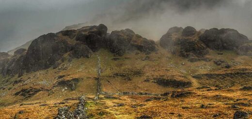
A Misty Ridge Walk
First on the agenda were three Nuttalls along the ridge to the north of the Hirnant Pass. I was soon working up a sweat as I climbed steeply up the hillside. Despite the mist and murk, it was still quite warm and there was no wind at all on this side of the hill. The steep slopes, heather and bilberry bushes, and lack of a real path made the going tough, so there were plenty of breaks as I followed the fence line to the top.
Despite having had the driest spring on record, the recent rain had returned the Welsh hills to their usual wet selves—with bog underfoot and soaking wet, thigh-deep vegetation to push through. I was glad when the slope eased towards the top, and once on the ridge, I welcomed the cooling breeze.
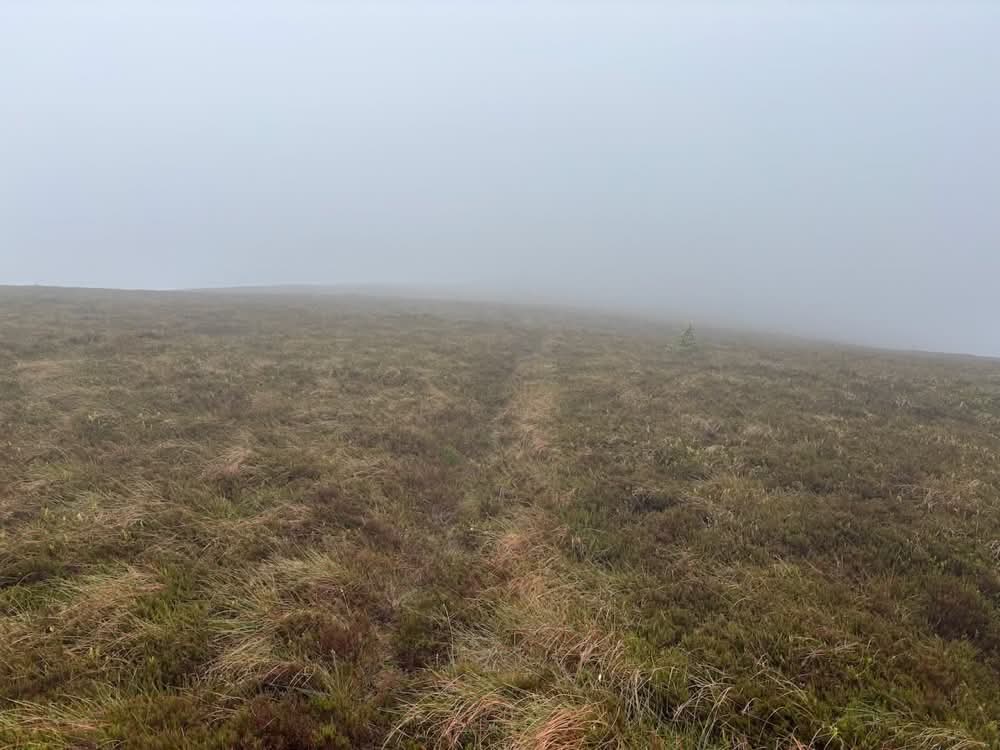
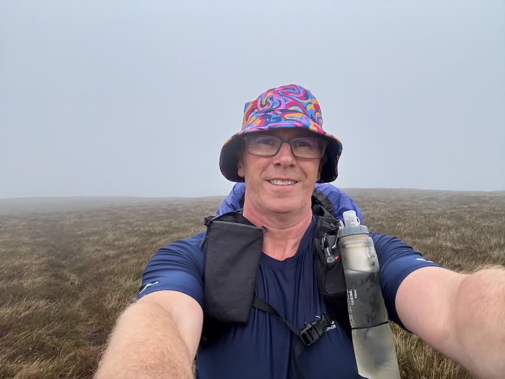
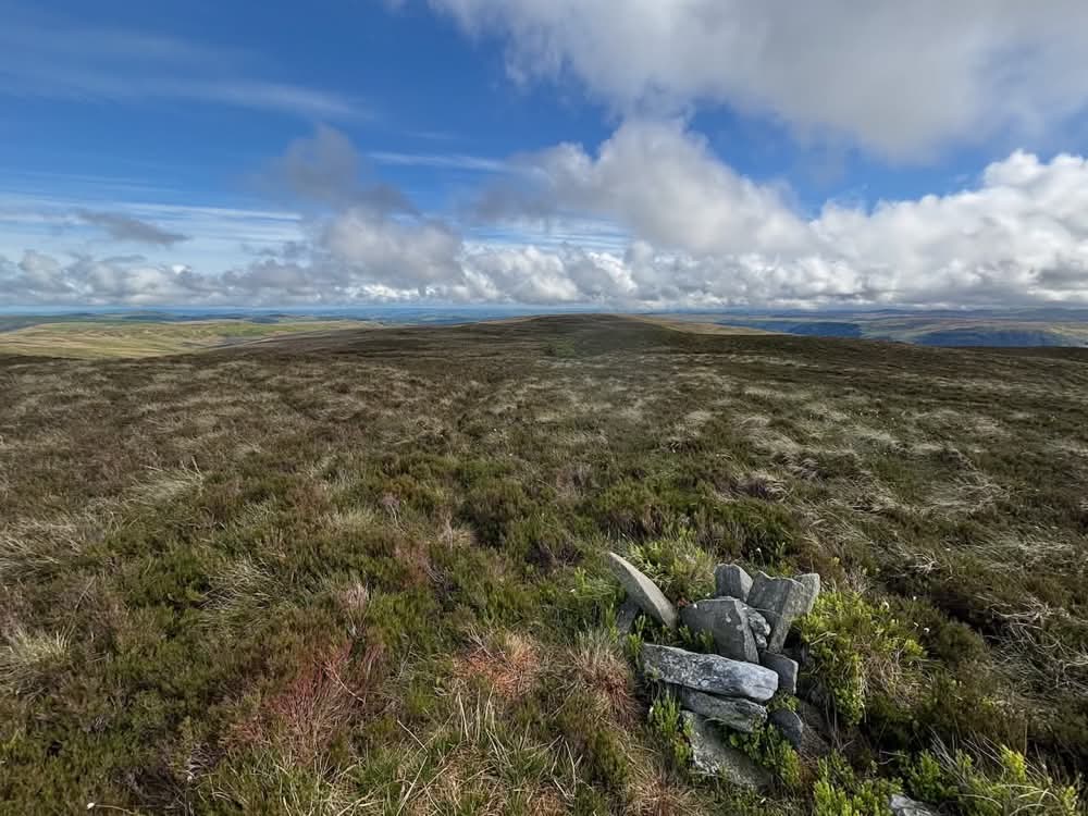
The first summit, Foel Goch (613 m), was soon reached. Marked by a few stones on an otherwise featureless, rounded top, it wasn’t that inspiring. The mist obscured any views, but at least I added a splash of colour with my hat.
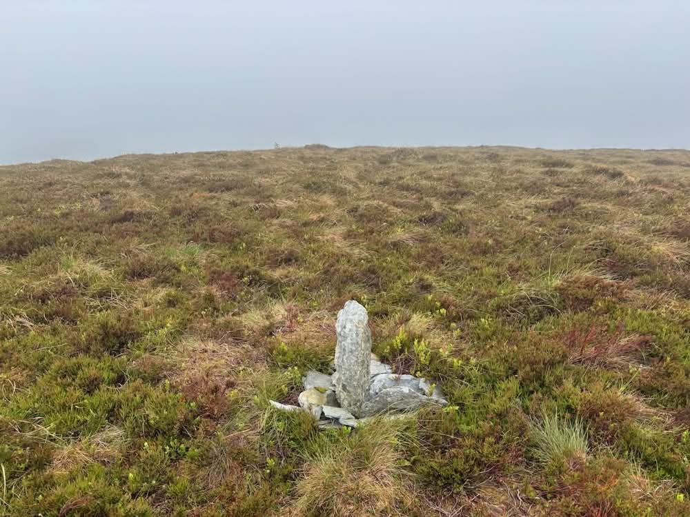
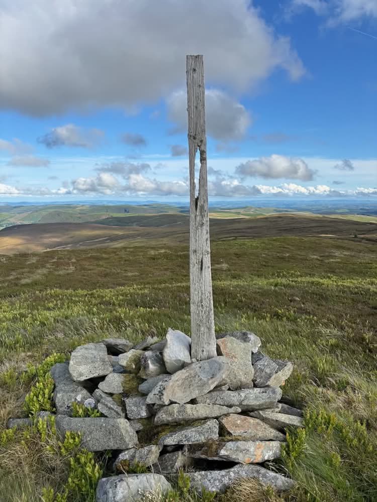
I continued south along the ridge to Trum y Gwragedd (612 m), marked by a solitary post—and once again, little else of note.
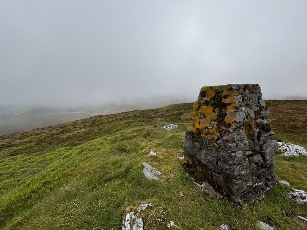
It was then onwards across the ridge to the third Nuttall of the day at Foel y Geifr (626 m), which at least had a proper trig point.
Across to More Nuttalls
From this summit, I left any signs of a path behind and dropped down the side of the hill, heading east towards a track I could see across the valley. The clouds began to clear as I descended, revealing breaks in the grey and patches of blue sky. Despite the deep boggy areas and thick bilberry bushes, the descent wasn’t too taxing.
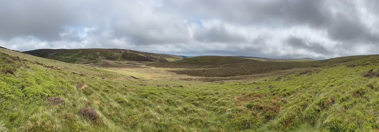
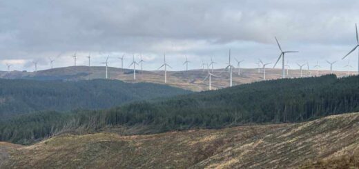
I soon reached the Hirnant Pass road, crossed it, and started up the other side of the valley. The wide track bulldozed across the hillside may be a scar on the landscape, but it made the climb much easier. I reached the top quickly, where the track continued across an endless expanse of heather-clad moorland.
I followed it for a while before taking a short detour to Pen y Boncyn Trefriw (646 m). There was a small cairn here, but again it would have been an easy summit to miss.
Back on the track, I navigated around muddy puddles and soon came to a farmer bashing in fence posts at the field I needed to cross. He was friendly, so I stopped for a quick chat. He didn’t seem to mind me heading across the field toward the next summit, Stac Rhos (630 m)—the fifth Nuttall of the day. Once again, it lacked a clearly defined summit.
In Search of Camp
This was the spot I’d earmarked for tonight’s camp. It was flat and dry, had short grass and wasn’t too exposed. However, it was still only about 4 p.m., I had plenty of energy left, the farmer was nearby, and there was no water source. I decided to push on in the hope of finding a better spot.
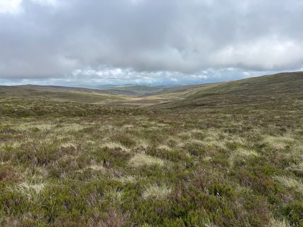
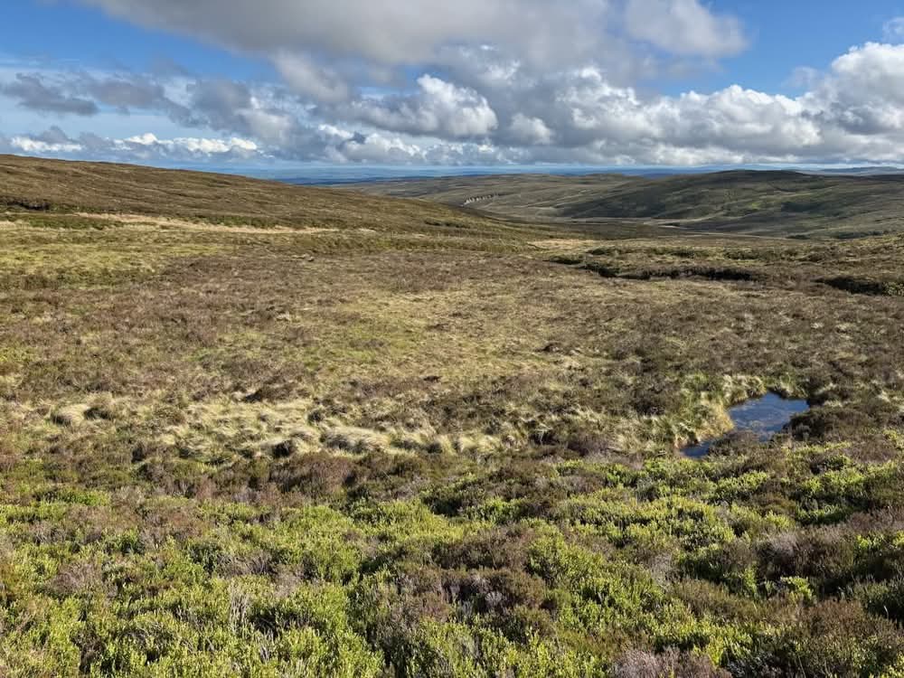
I dropped down to a recently constructed pond at the southeast corner of the field, then bog-hopped across a hollow before climbing again through deep bogs and thick vegetation. There were no paths, no landmarks, and the going was tough. That theme continued all the way to Cefn Gwyntog (615 m), the sixth Nuttall of the day.
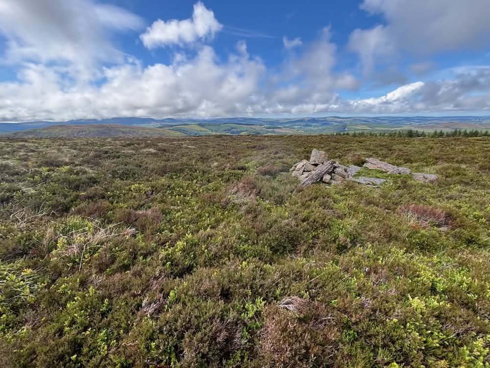
It was now a lovely sunny evening, and views opened up to the Arenigs, the Arans, and the rest of the Berwyns—all places I’d been recently. What wasn’t visible, though, were potential camping spots.
A False Hope
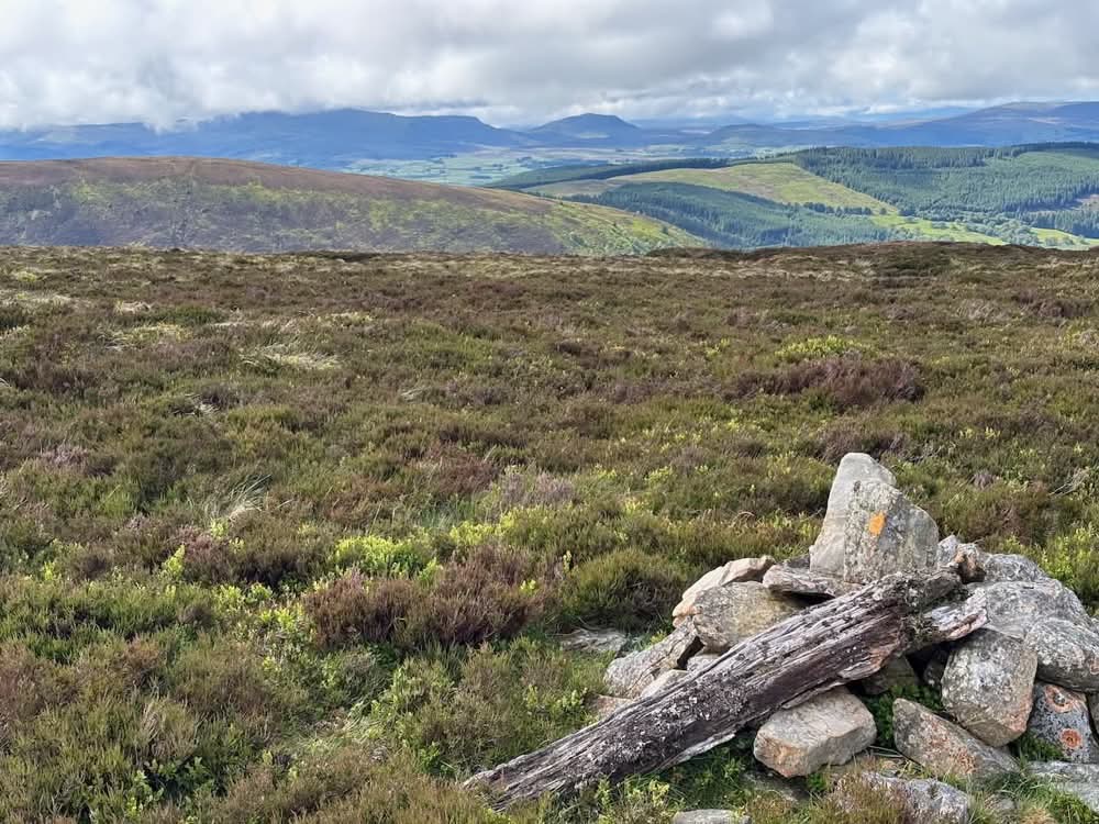
After several more miles of bog-bashing, I was tiring and actively looking for somewhere to camp. There was nowhere. I rejoined the track briefly, then took a detour to the summit of Foel Cedig (667 m).
From here, I spotted what looked like a promising campsite—flat(ish), grassy, and free of thick undergrowth. It was a little down the hill through dense heather, but worth the detour and even on a fairly direct line to Cyrniau Nod.
Alas, when I reached it, I found it to be a knee-deep boggy patch! What had looked idyllic from above turned out to be a saturated mire. Disappointed, I climbed back out and continued through yet more bog.
I was now halfway between Foel Cedig and Cyrniau Nod, so I climbed directly to the latter. Cyrniau Nod (667 m) doesn’t actually qualify as a Nuttall, but I bagged it anyway and scouted around—again, no suitable campsites.
At least there was now a fence line and a faint path. I followed it to the Powys–Gwynedd boundary, along another fence through more bog, and eventually back to the track I’d been on earlier.
Back to the Car
From here, it wasn’t far to my final summit of the day, Y Groes Fagl (659 m). With that bagged and still nowhere suitable to pitch a tent, I decided to begin the 4-mile descent back to the car.
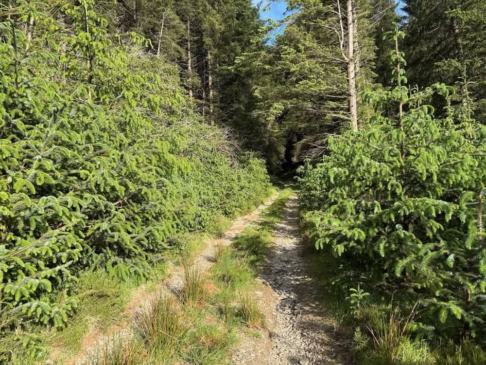
The descent followed decent forest tracks, and I calculated I’d reach the car before 7:45 p.m. I kept an eye out for campsites, but held out little hope among the dense conifer plantations.
My pace quickened. As predicted, there were no viable spots in the trees. I did spot one or two possibilities alongside the stream I could hear tumbling down the hillside—but couldn’t see them clearly, wasn’t sure I’d fit the tent in them, and didn’t fancy scrambling down through the undergrowth to find out.
At the bottom of the descent I passed a farm and crossed a bridge over the stream. There were some beautiful camping spots here—flat and grassy—but they were on farmland and clearly visible, so not ideal.
One final climb took me past a mobile phone mast and finally back to the car. Ironically, there were a few nice spots by the stream near the parking area—but they were right by the road, in full view. And since I was at the car, it seemed pointless to camp. I could be home in 90 minutes.
Stats and Reflections
So, I’d covered just over 13 miles, bagged 8 Nuttalls and 3 other summits, and carried a full backpack of camping gear for the entire trip. I didn’t use anything from it apart from my water—but it was all good training!
That brings my total to 116 of the 189 Welsh Nuttalls. Most future outings will likely feature fewer summits, as the remaining ones are more spread out. That’s not a bad thing—I’m enjoying them, and even if a walk only includes one summit, that’ll be fine.