Wales Coast Path – Cwmtydu to Aberaeron
Coast Path Vital Stats
Cwmtydu to Aberaeron
- Distance: 9.74 miles
- Elevation Gain Today: 532 m
- Highest Elevation: 97 m
- Time: 2:06:30
- Av. Pace: 14:40 mins/mile
- Calories: 1241
Totals to Date
- Total Distance: 1104.72 miles
- Total Time: 218:54:57
- Total Elevation Gain: 36650m
- Total Calories: 106779
- Distance to go: 7 miles
Having finished my last Coast Path run at the somewhat remote Cwmtydu, I needed to drive to the start rather than use public transport. Anna and I, therefore, spent another morning tackling the next short section. It was a gorgeous sunny day with no wind. The sea looked amazing on the drive down, with barely a ripple disturbing its surface and no swell rolling into the coast. The blue skies and sunshine were quite uncharacteristic for Wales, especially considering the summer we’ve had so far.
Despite the lovely conditions, it wasn’t ideal for running as it was too hot for me. In theory, I could have finished the entire circumnavigation today by completing the 17 miles from here to Llanrhystud, where I started all those years ago. However, I’m not in a hurry to finish as I don’t have a new project lined up yet (post your suggestions in the comments!). In some ways, it’ll be a shame when it’s all over. Breaking this final portion into two sections seemed like the sensible thing to do. It would make for an easier day today, which I was thankful for given the temperatures. It also meant Anna wouldn’t have to wait around for too long, and I’d have another chance to enjoy the final stage next time.
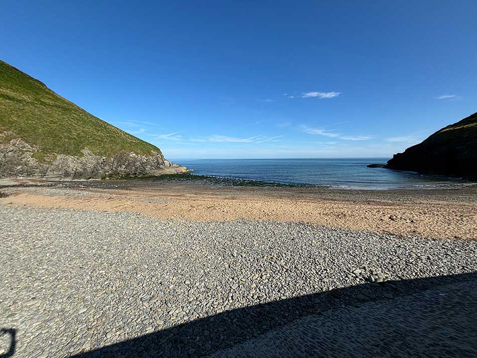
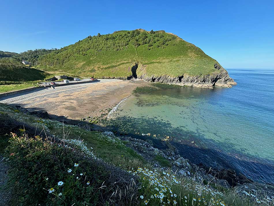
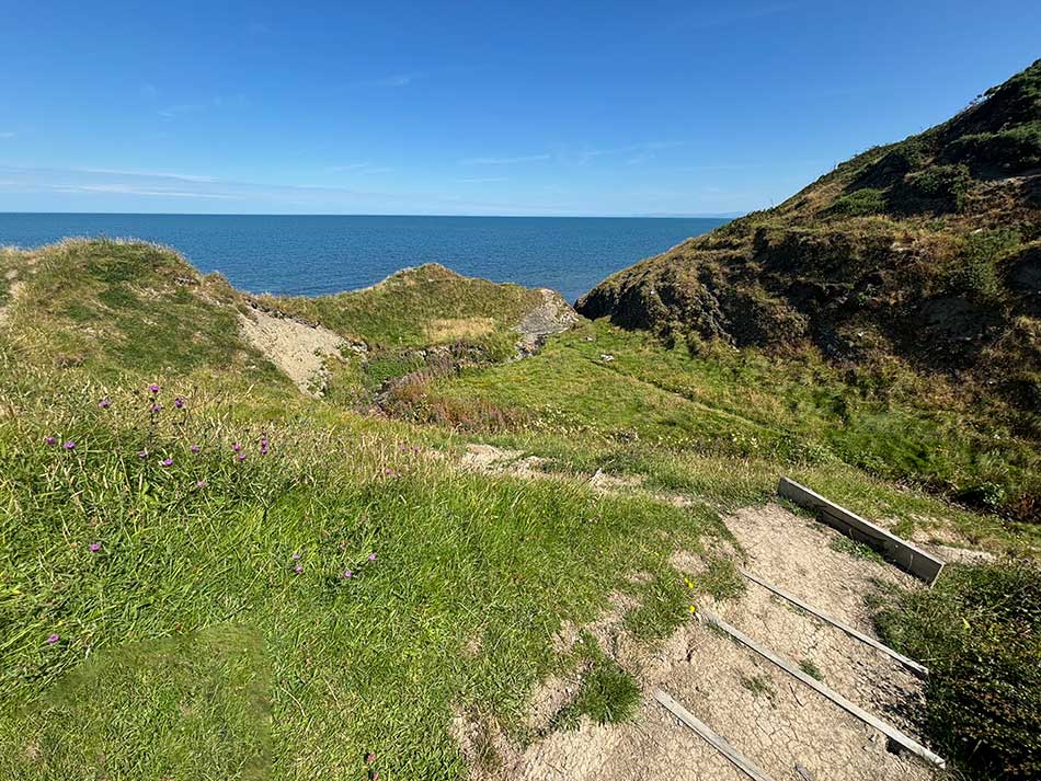
Cwmtydu looked lovely with the sea gently lapping on the pebbly beach. I got ready and then trotted off towards the path up onto the cliffs. There was no easing into it today, with a steep climb right from the start. I paused to take a photo of the crystal-clear waters. The hillsides were covered in flowers, and butterflies flitted around.
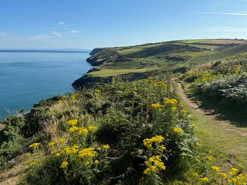
I was soon up on the cliff tops, where dry, grassy tracks stretched out along the undulating coast ahead of me. What a glorious day!
Just along the way was the impressive-looking Castell Bach Bay. Mind you, with weather like this, the entire coastline was picturesque today. At this rate, I’d end up stopping for photographs every few minutes! It was a good excuse for a drink too, as I was already sweating and wondering if I should have brought more than a litre of water with me.
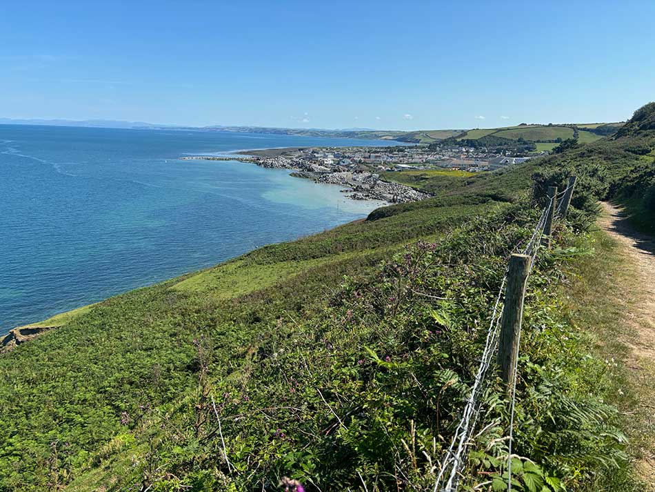
The next photo stop was just a short distance off at Cwm Silio Beach. The path here dropped down into a little valley and crossed a bridge over the river. Despite being a bit remote, there was a defibrillator at the end of the bridge—maybe a sign of the steepness of the climbs back onto the cliffs. I took a short breather at the top once again and took a photo looking back to where I had come from. I met a few runners going the opposite way as I crossed the bridge, and you can just about make them out in the photo.
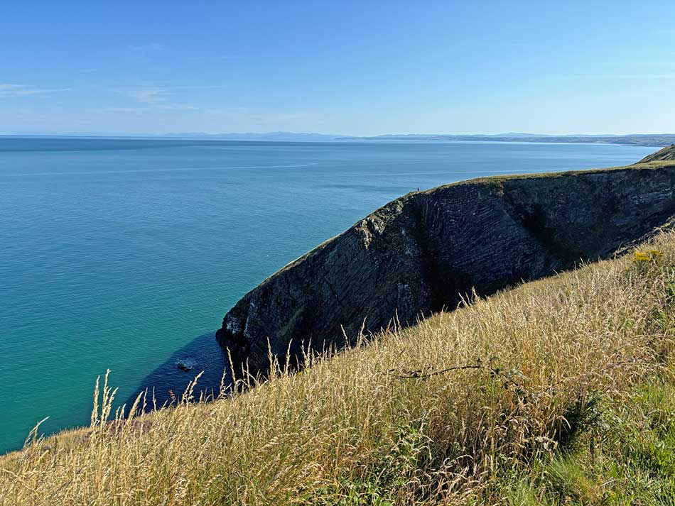
Looking ahead, the expanse of Cardigan Bay opened out before me. You can’t see it in the photo, but I could just about make out Aberystwyth, and beyond that, Borth and Ynyslas—not a bad place to live, really!
I passed a few more rocky coves, the old lookout now used by people recording dolphins and other marine mammals, and then took the path along the top of some steep cliffs. There was an optional detour here for those of a nervous disposition. I then climbed up to the top of Pen y Castell, where the harbour of Newquay was visible below. Time for a selfie before descending into Newquay.
The peace of the clifftops was soon replaced by the hustle and bustle of Newquay in the summer. There were people everywhere. I stopped at a café, filled up my Camelpak with water—I did indeed need more than a liter—and then made my way through the streets, up the hill, and out onto a few little alleys that took me back onto the path where there was thankfully some shade from the trees.
After running through the woodland for a while, the path dropped down onto the beach. The tide was low, so it was easy going on hard-packed sand, and there was even a very gentle cooling breeze. People were building sandcastles, walking dogs, sunbathing, and swimming. It was a perfect beach day. I ran past them all and made it to the little breakwater at the end of the beach. I stopped to cool off in the river here and then headed off into the woods around Cei Bach Country Club and back out onto cliff-top paths.
The next section was characterized by a couple of perfect wild-camping spots. The first was at Afon Drywi, where there was plenty of room for several tents in a nice little sheltered valley with some nice pools for bathing. The water was looking a little dirty today, but there was a sign saying it was due to natural sediments. In weather like this, it would be lovely to camp here and soak in the pools.
After a while on the cliffs, I had to go around Gilfach Holiday Village and then climb up a hill on the road in the now baking sun. It wasn’t long before the path took me back onto the clifftops once again, and then to another lovely camping spot at the Ceri Brook, where the stream meandered around a nice flat grassy spot that would be perfect for an overnight stay.
I was running today, not camping, so I continued on my way. I was getting a little too hot by now, so after a steep climb, I was pleased to see Anna waiting at a gate for me. She had walked up from Aberaeron, so it couldn’t be far now. I stopped running and walked the remaining distance with Anna along a pleasant descent into Aberaeron. The diggers were busy on the seafront constructing new sea defences.
It had been less than 10 miles today, but in the heat, that was enough, and I was glad not to be continuing on to Llanrhystud.
After a quick change beside the car, it was a short drive home with a stop at McDonald’s for lunch. The short section to Llanrhystud can wait for another day, but with only seven miles left to complete the entire circumnavigation of Wales, I’ll try not to leave it too long before finishing it off.







I’m assuming there is no chance of relaxing being your next venture?
Ummmmm…. Nope!
Wales has three National Trails, you’ve completed Offa’s Dyke, nearly the Coastal Path. You have Glyndwr’s Way yet to do.
Yeah, it’s on my list!! And the Cambrian Way.
At least with the Welsh ones I can do them bit by bit if I want to without having to travel too far. I’m also looking at some that I could do as back-packing/wild-camping trips to some far-flung places. Top of my list for these at the moment is:
Or at least variants of these to fit the available time. 🙂
Al.