Nuttalls: Dduallt and Rhobell Fawr
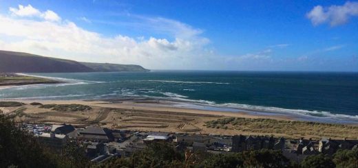
After a busy week at work, it was time to make the most of my Friday off and head into the hills. The forecast was nothing special — just chilly, with possible showers. Most of the recent snow had melted, with only a few stubborn patches lingering above about 500 m here and there. I planned to tick off the closest unbagged Nuttalls to home: Dduallt and Rhobell Fawr, to the east of Coed y Brenin. I’d been in this neck of the woods before, but only whilst riding mountain bikes or taking part in mountain bike events. I’d never really explored the area on foot.
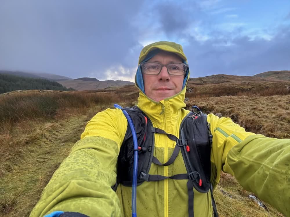
It was a good job the snow and ice had gone at lower levels, because the drive to my parking spot involved a long, winding adventure along some pretty remote roads. I eventually parked not far beyond a closed gate by a house just above the River Mawddach and set off walking along the remainder of the road. My pack wasn’t too heavy today; it just contained plenty of extra layers, waterproofs, a head torch, a survival blanket and first aid kit (just in case), lunch and water, my Garmin InReach and phone, sunglasses, map and compass, plus a stove, gas, a mug and an espresso maker. When I write it out like that, it sounds like quite a lot! I don’t always take the stove and espresso maker, but this was only meant to be a day hike, so pack weight was low — and I was already looking forward to a coffee at the first summit.
The road came to an end at a bridge over the river, and I headed off along a track past an old farmhouse and then on to another, where I turned left and began a steep climb up the side of the hill. As I gained height, the clouds closed in and it started to rain. I stopped to put on my waterproof jacket and have a drink. It wasn’t long before I stopped again as the rain intensified, this time to don my waterproof trousers as well.
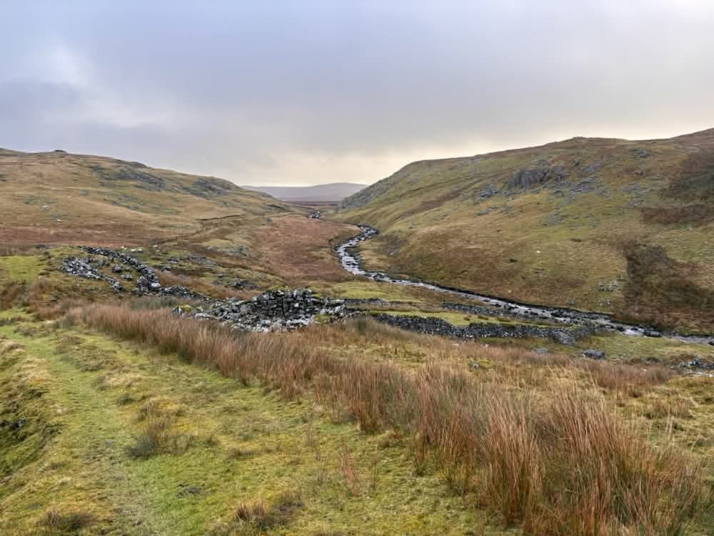
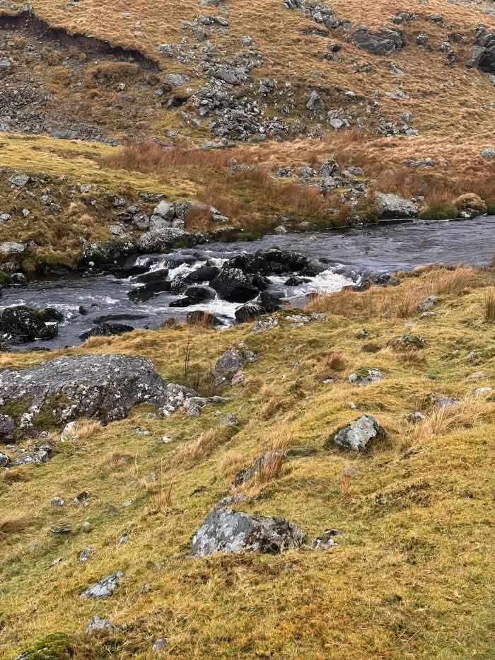
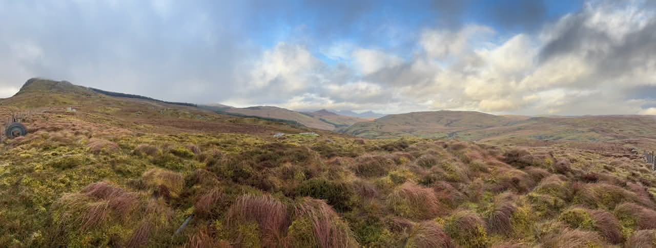
Temperatures were just above freezing, but the climb kept me warm. A pleasant walk followed, in the rain, through a wild landscape alongside the tumbling headwaters of the River Mawddach — it really is quite remote up here. I then came to an unexpected river crossing. I’d half expected a bridge or an easy ford, but instead found myself wading through calf-deep water. Brrr!
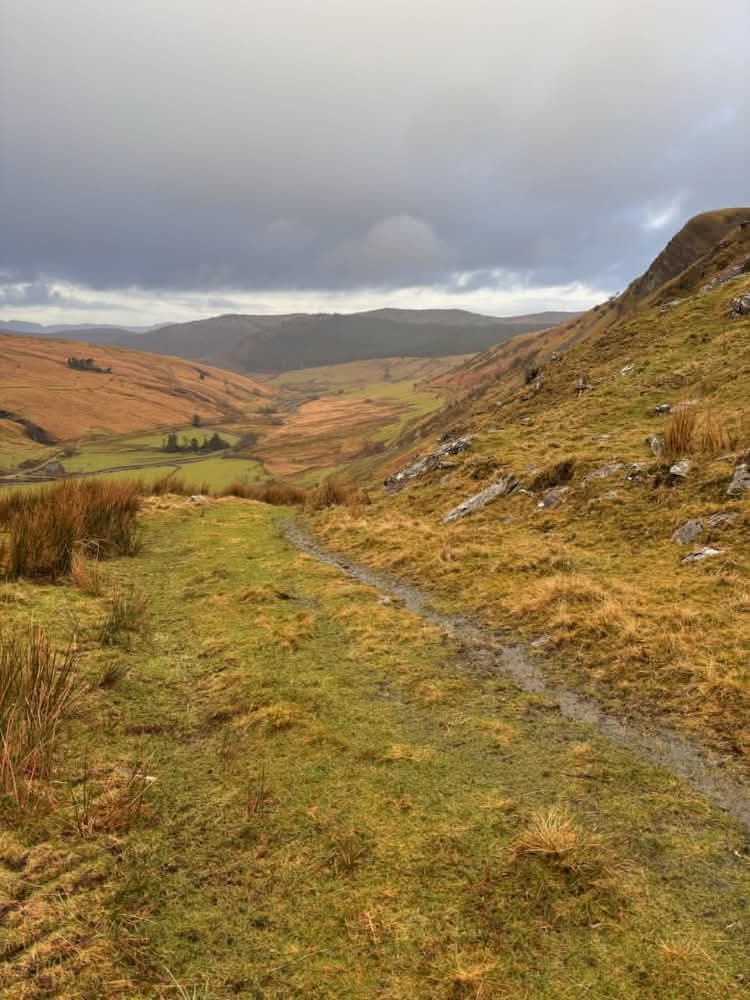
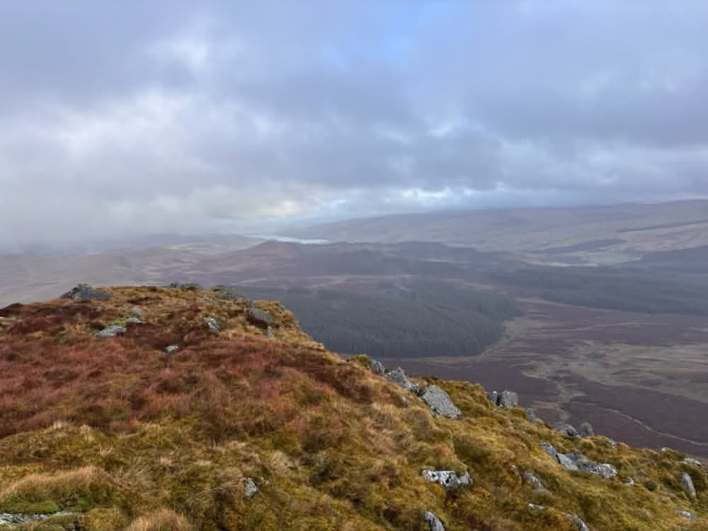
I soon warmed up again on the steep climbs to the first summit and first Nuttall of the day. There were occasional views out across Mid Wales and towards Bala Lake before the windy summit of Dduallt (663 m) emerged from the mist and rain. I had planned to stop for a coffee here, but with little shelter and a biting wind, I descended to the edge of the forestry instead and stopped in the lee of the trees. It was still chilly — wet feet didn’t help — but the coffee made it worthwhile.
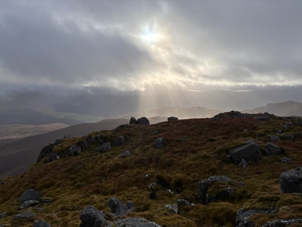
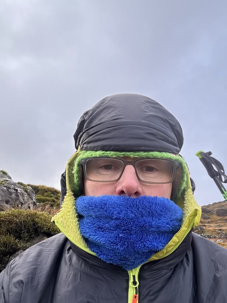
Next came a crossing of high, open moorland before following the boggy edge of a clear-felled forest, and then heading into the forest itself. Despite being on a marked trail, this section proved some of the hardest of the day. The ground was extremely muddy, cut up by motocross tracks and very slippery. In places, the mud was up to my calves; elsewhere, where I didn’t dare step, my walking pole simply disappeared. Eventually I emerged onto a wide forest road and, at a large rocky outcrop, began climbing once more, this time towards the highest point of the day. There were patches of snow here and there, and the climb was steep and rocky, with the occasional short scramble. I stopped for lunch at a rocky outcrop, adding my insulated jacket, buff, hat and gloves. It was cold in the wind.
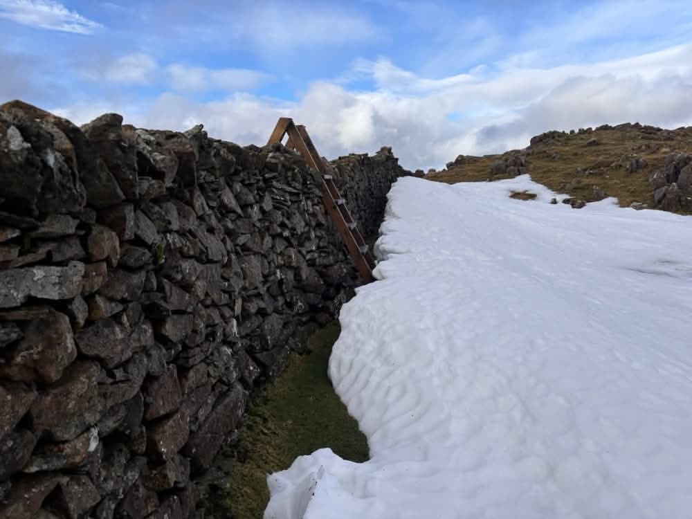
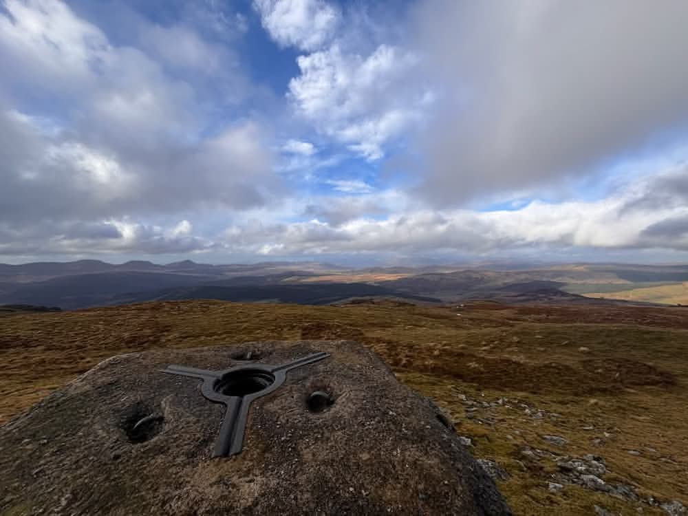
The summit of Rhobell Fawr (734 m) was soon gained after crossing a stile over an impressive stone wall — Nuttall number two for the day. I continued a little further to Cynefin Bryn Blew (719 m) just because I could. Despite its height, it isn’t a Nuttall.
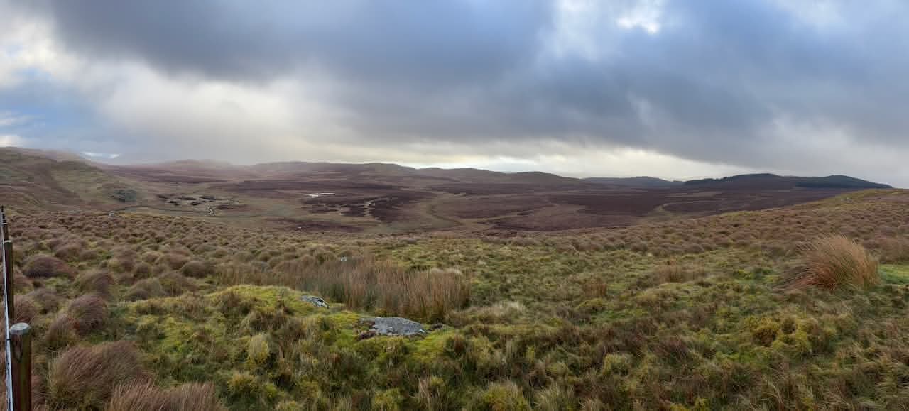
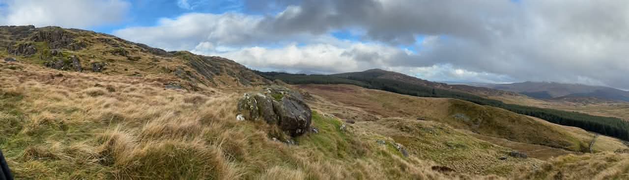
The original plan had been to return along the far side of the forestry to the farmhouse in the valley and then back along the road. However, the rocky summits of Rhobell Ganol and Rhobell-y-Big loomed ahead and offered a fairly direct route back to the car. There were no paths or tracks in that direction and the ground looked decidedly boggy, but I decided to give it a go. It turned into a bit of a slog: first picking my way off Rhobell Fawr through rocky ground and heather, then across a boggy plateau. There weren’t even any sheep tracks out here — just Molinia grass and thigh-deep bogs.
The rockier ground around Rhobell Ganol (521 m) was a welcome relief. I followed the ridge line for a while, making sure to visit each subsidiary summit, as it was hard to tell which was the highest. Ahead lay another plateau of particularly boggy ground, followed by the seemingly impenetrable rocky cliffs of Rhobell-y-Big (‘y Big’ actually means “sharp peak”). There was no obvious route to the top, so my plan was to reach its base and see if something revealed itself. First obstacle, though: the bog.
A fence line crossed the wet ground and led to slightly better, heather-clad slopes to the west of Rhobell-y-Big. I followed it, though still had to contend with some very wet terrain. I was up to my knees at times, even while avoiding the worst of it. The drier, heather-clad slopes weren’t much easier, with thigh-deep heather and plenty of holes between boulders to negotiate. As I climbed higher, the slope steepened, and there was still no obvious route. With no paths to follow, I took things carefully, picking my way up through a series of gullies. Before long, there was just one short scramble over slippery rocks, and I emerged at the summit of Rhobell-y-Big (504 m). Fortunately, it was clear this was the highest point, as there was no way to reach the lower peaks without descending first.
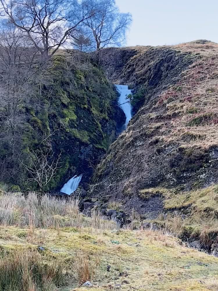
The only way down was to retrace my steps carefully and then head off through boulder fields and heather towards the car. The upper, steeper section required care, but once below it the slope eased, the boulders disappeared, and I could push through the heather with more purpose. After crossing a fence, things improved further as I reached grazed grassland. A final steeper descent, with a couple of small streams, gullies and waterfalls to cross, brought me back down to the house where I’d parked. The direct route had paid off: it was shorter, probably quicker, and had added two satisfying summits to the day.
For a relatively short walk of just 9.37 miles with a little over 900 m of ascent, it had been quite an undertaking. Still, it was good to tick off two more Nuttalls, bringing my total to 126 of 189 in Wales.
Beyond the numbers and the summits, it was a day that felt quietly satisfying. These aren’t showy hills, and the conditions never really lifted, but that somehow added to the sense of having properly earned the ground covered. Picking careful lines through bog, rock and heather demanded patience rather than pace. Walking alone through such a wild, overlooked corner of Wales, with nothing to do but keep moving and make good decisions, felt like time well spent — another small but meaningful step along the long road of the Nuttalls.
Discover more from A Simple Life of Luxury
Subscribe to get the latest posts sent to your email.