The Hebridean Way – Stage 7 & 8: Harris
A Damp Start and the Battle with Midges
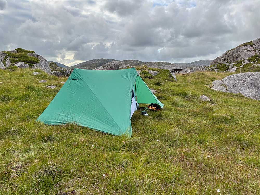
It rained most of the night. I don’t get much sleep at the best of times, even at home in my own bed, but in a tent with the wind blowing and the rain lashing at the sides, there’s no hope. The wind did ease overnight though, and I probably drifted off now and then for short periods. I noticed that it seemed to have stopped raining around 5 a.m., so I decided it made sense to get up, have some breakfast, and try to pack up my tent once it had dried off a little. I gave the tent a shake to remove most of the water and then set about cooking breakfast and packing up.
Things hadn’t really dried out over breakfast, as there was no wind and the air was still quite damp. It was a somewhat grey day again. I therefore started to wipe my tent down with a towel—and got absolutely pummelled by midges. The long grass, lack of wind, and slightly damp, warm air were perfect for them. I quickly unpacked my full-length waterproofs and head net and packed up as quickly as I could while fully covered. My tent had to go away a little damp, but it would dry out later.
Across the Boggy Heart of Harris
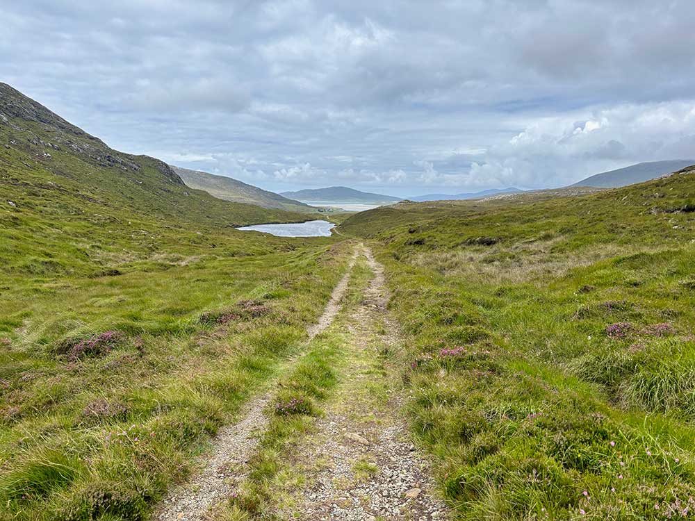
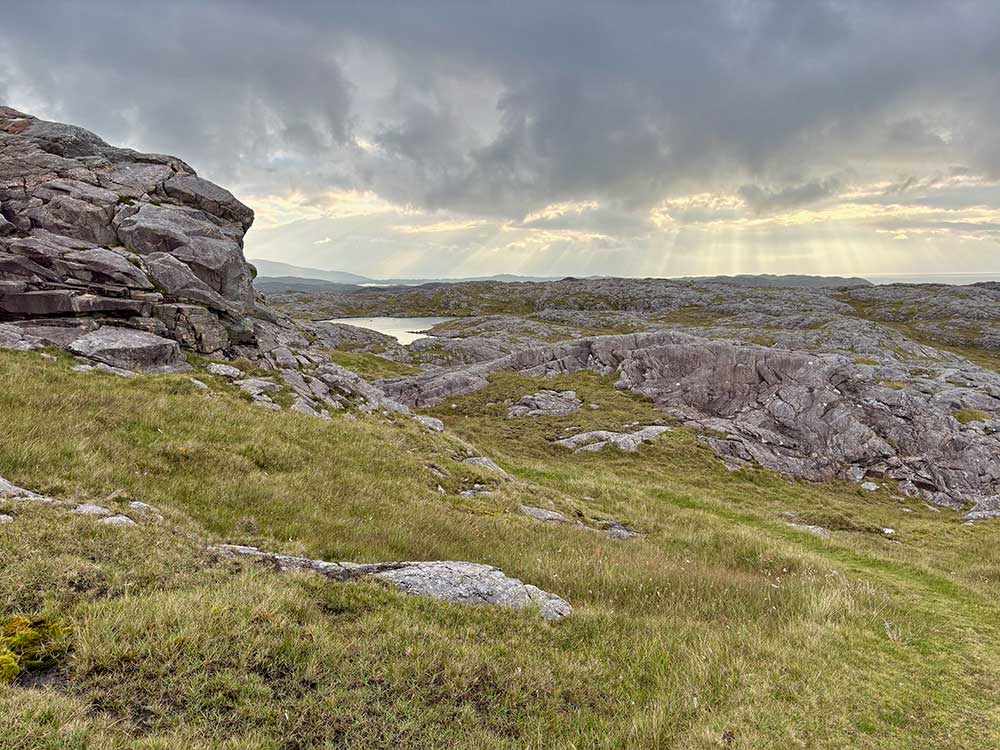
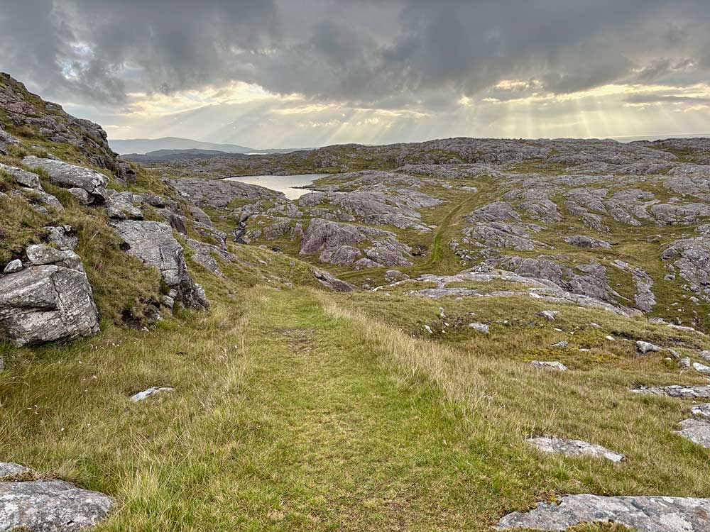
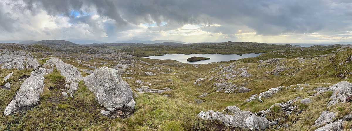
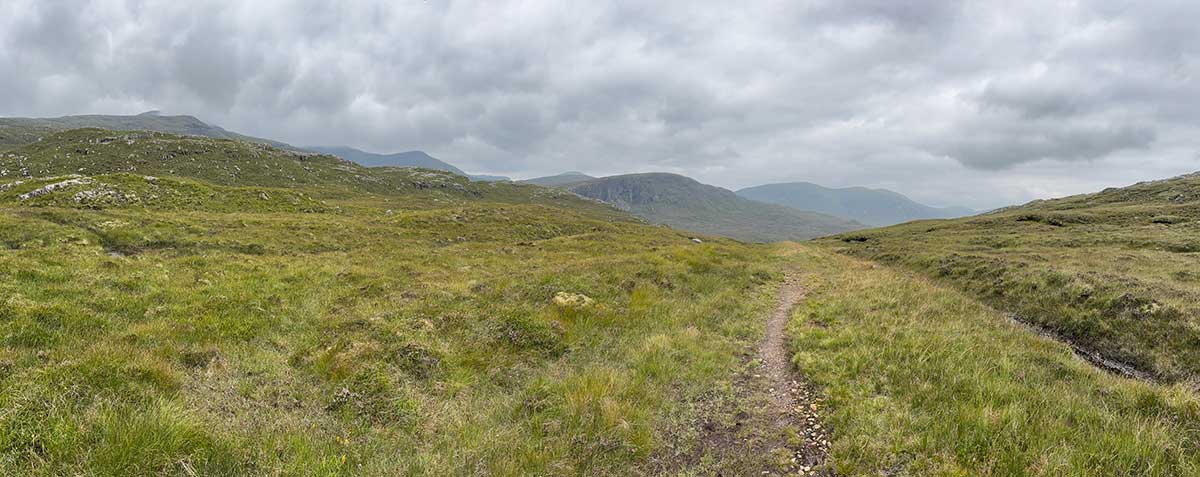
I then set off through the morning gloom along the road and then off across the bogs of Harris. Here I was following the remnants of a raised turf path. These would be my companion throughout Harris and Lewis and are created by cutting two parallel trenches into the peat and piling the peat up in the middle to create a raised walkway. It’s a traditional method of making really boggy areas navigable, but they aren’t really up to the heavier traffic of long-distance paths for recreational walkers. Most are somewhat eroded and compacted, and if you happen to stumble off the raised bit, you are at least knee-deep in very wet bog—as the two trenches either side are the boggiest parts around!
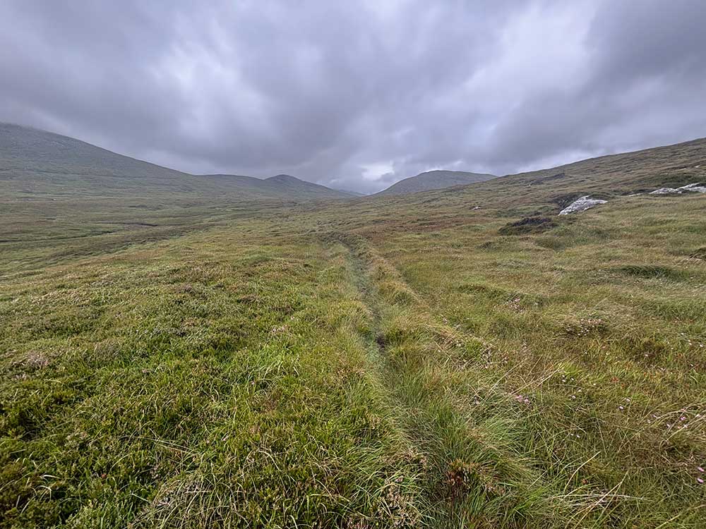
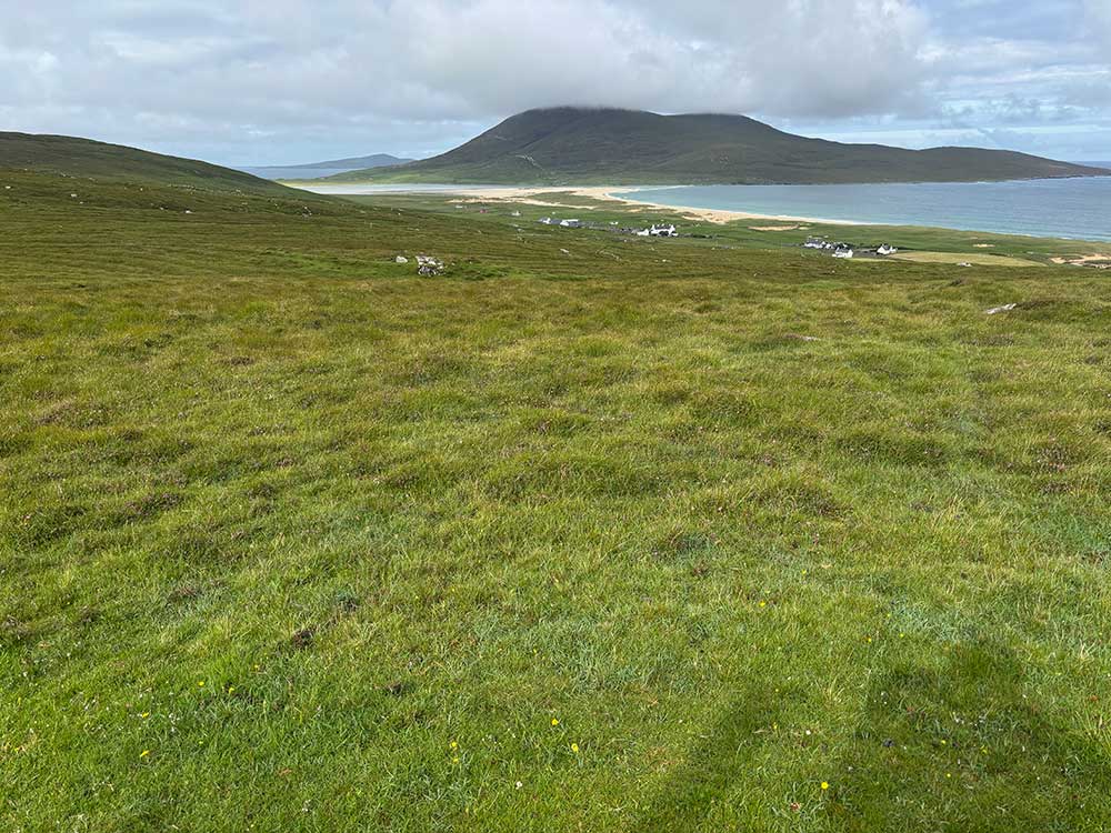
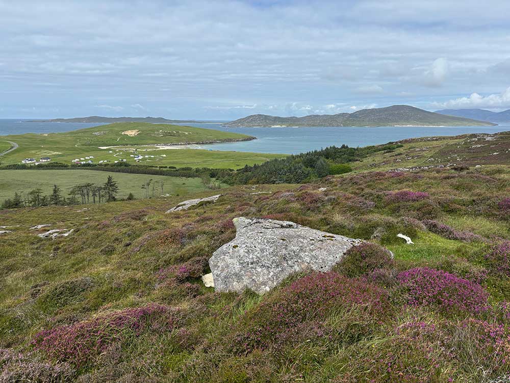
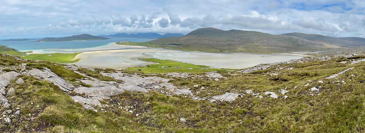
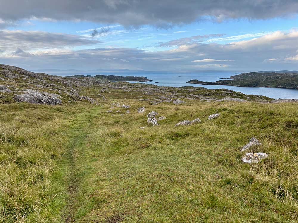
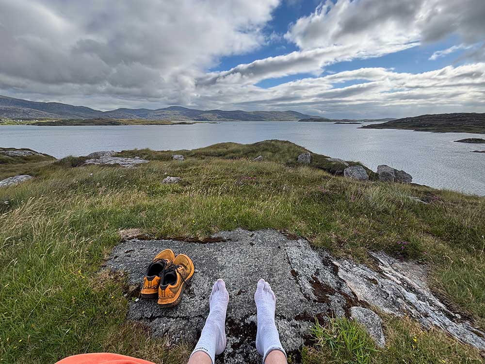
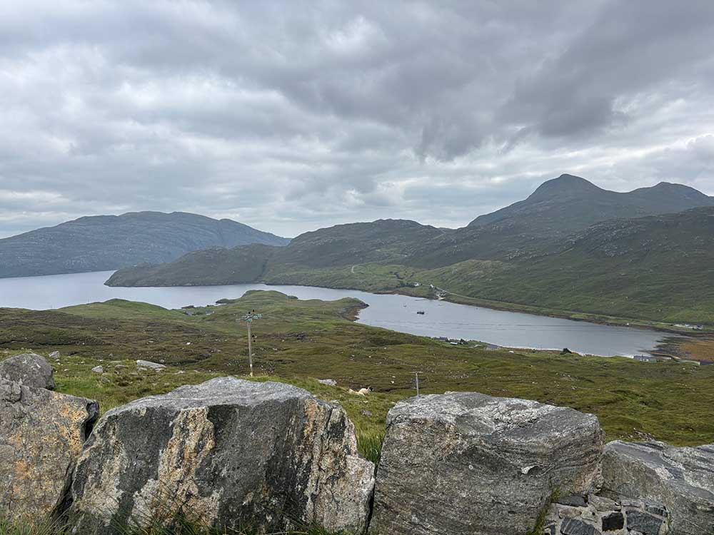
This section wasn’t the easiest to follow, and soon I had very wet feet. It led me up to a low mountain pass and over the brow, where the sands of Tràigh an Taoibh Thuath, backed by the imposing hill of Ceapabhal, came into view ahead. I was now heading down to the sands on the west coast of Harris.
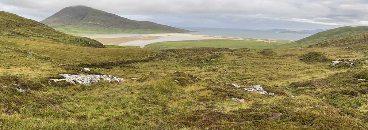
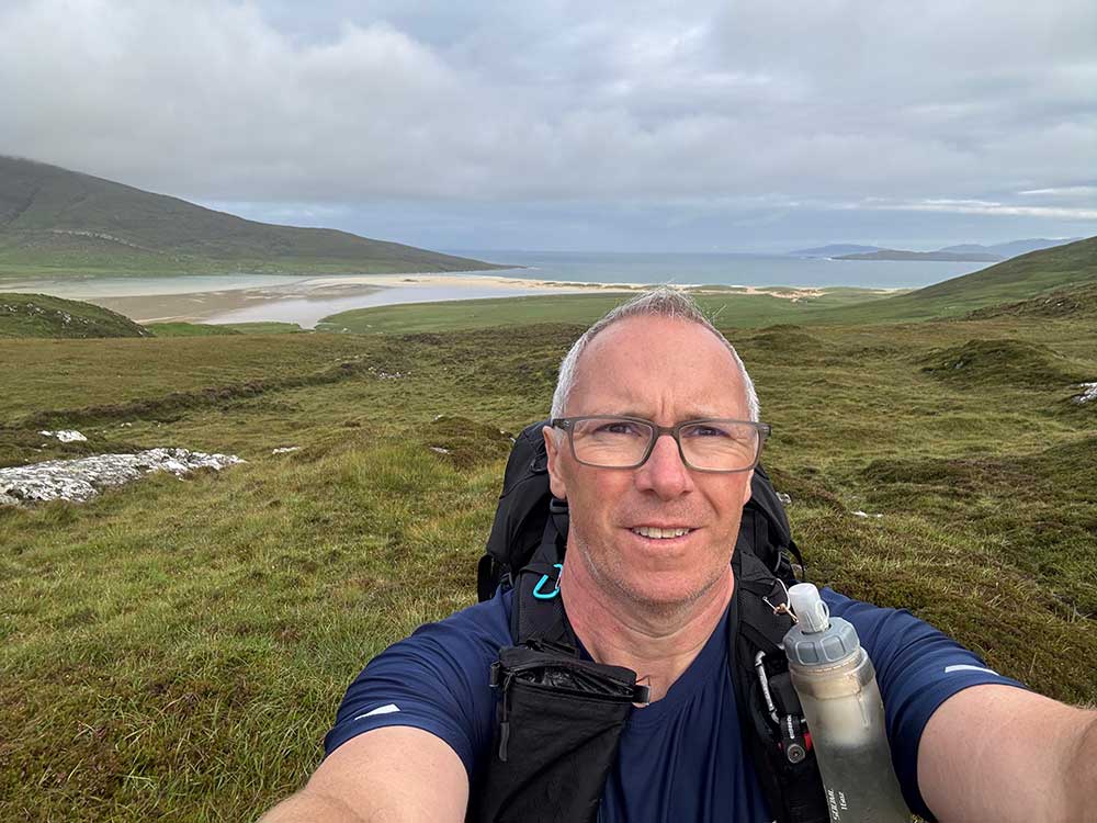
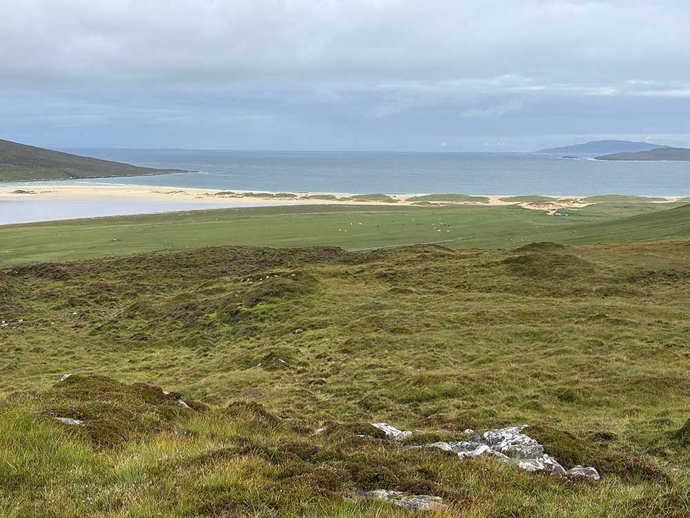
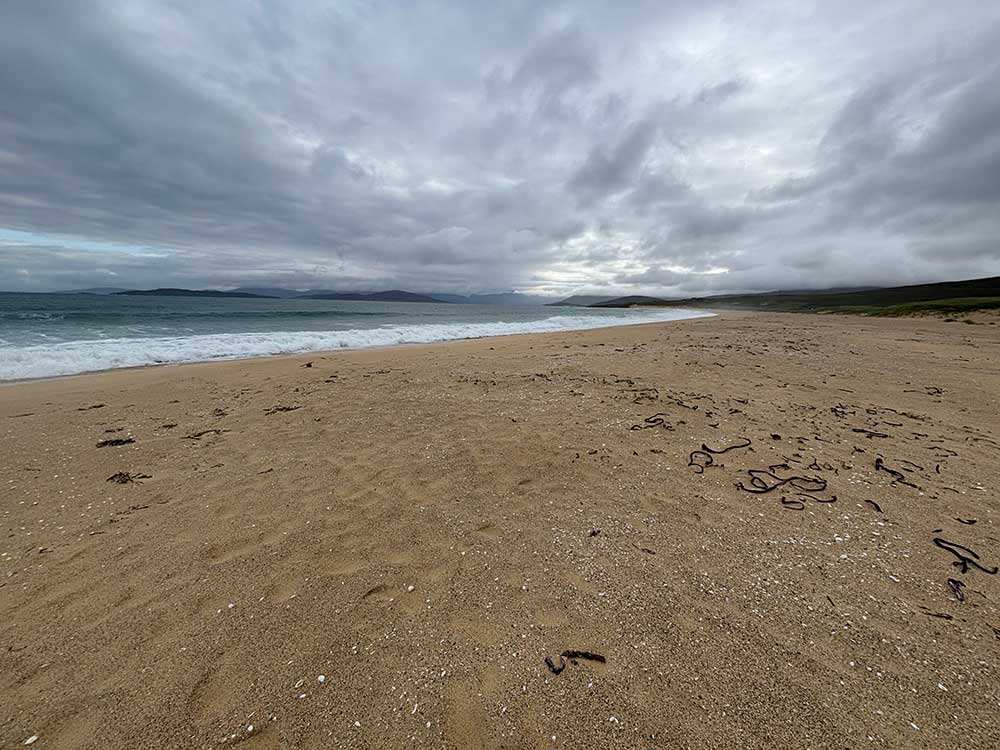
Golden Sands and Lazy-Beds
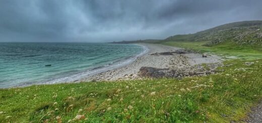
The sands here were a golden colour in contrast to the silvery-white sands of the Uists. I headed downhill on easier grassy terrain with no real path to follow, then joined the road for a short while before heading across a small patch of machair and onto the sands of Scarista Beach. The golden sands were coarser, softer, and more difficult to walk on as I trudged my way across them with waves breaking on the beach. My shoes also got a little filled with sand too. I was soon headed back through the dunes, through a grazed field, and then back up the hillside.
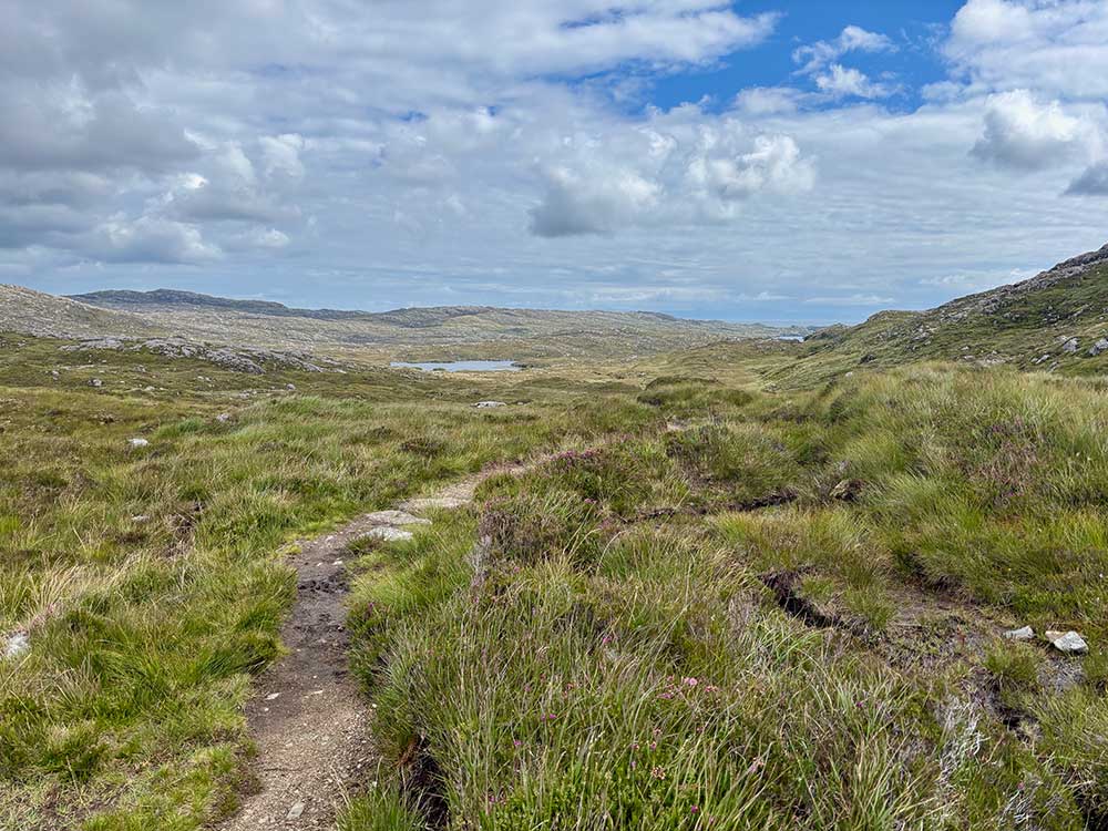
Again, the climb up was on easy grassy ground, over a few streams and around some rocky outcrops, then across a terraced area—remnants of an agricultural method known as lazy-beds. These are parallel ridges and furrows dug by spades to create raised areas for growing arable crops, with narrow drainage channels between them. They do slow you down somewhat with the constant up and down! Not as much as the next few sections though, as I soon found myself higher up the hill and traversing through thick, pathless bog once again. That was the case for quite a stretch as I left Scarista behind and passed other golden beaches on the coast below.
Remote Bog, Steep Slopes, and the Beaches Below
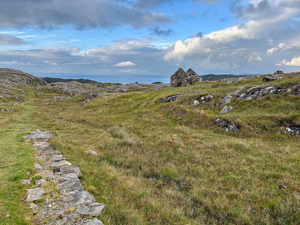
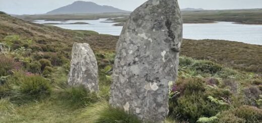
Next was the hamlet of Borve with its small sandy inlet, and then Loch Bhuigh with the ruins of a large building next to it. All of these were below me on the hillside—up here there was little more than bog, the occasional hint of a path, and at some points the line of an old turf and drystone dyke that helped keep my feet out of some of the worst sections.
It was tough going, but with some stunning views of the beaches of Harris and the various islands offshore. I also passed Horgabost with its welcoming-looking campsite. This had been an option for an overnight stay, but the day was still young so I pushed on. I was looking over my shoulder quite a bit today, expecting Sam to catch me at any time. Although he would no doubt have started later than me to make the most of the breakfast at his B&B, and although I wasn’t rushing, I do tend to cover ground quite quickly when on my own.
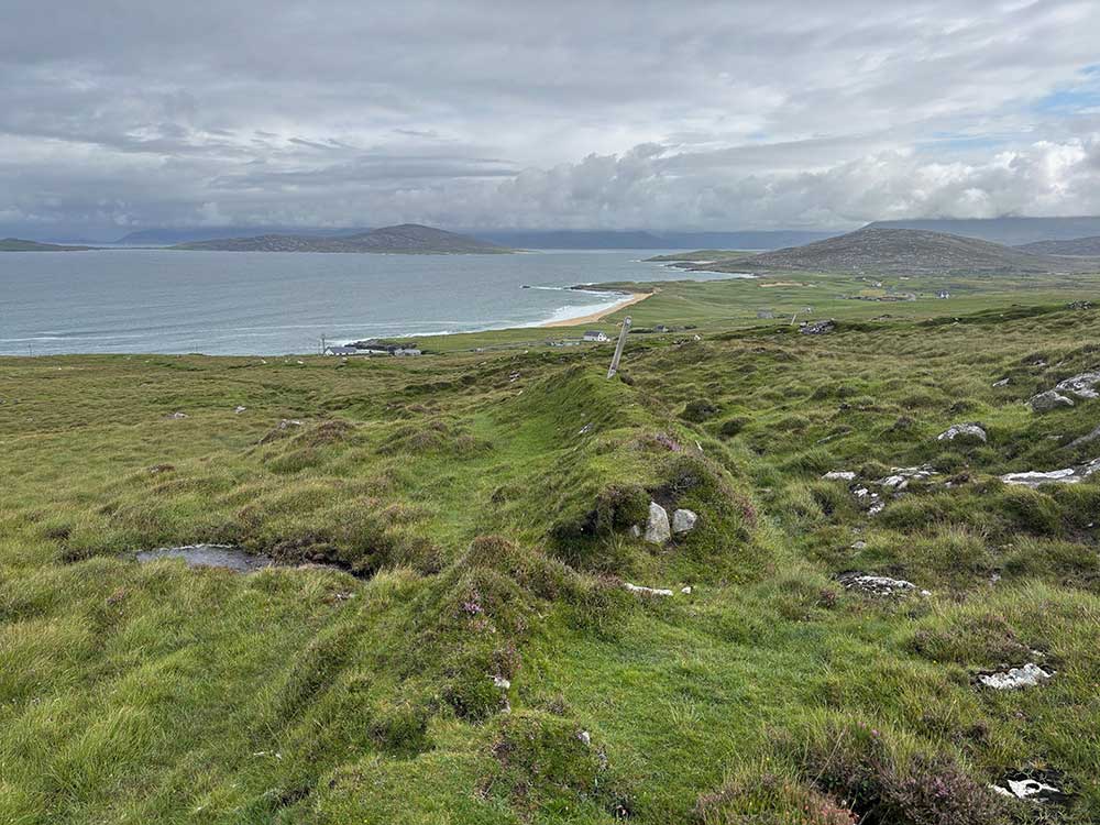
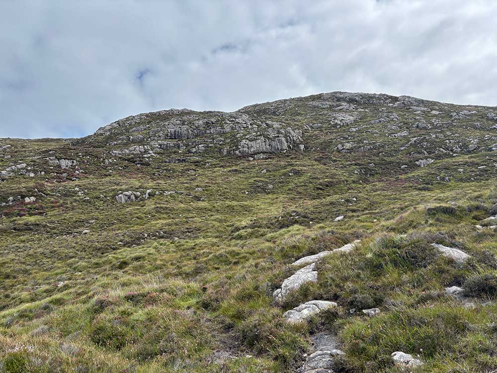
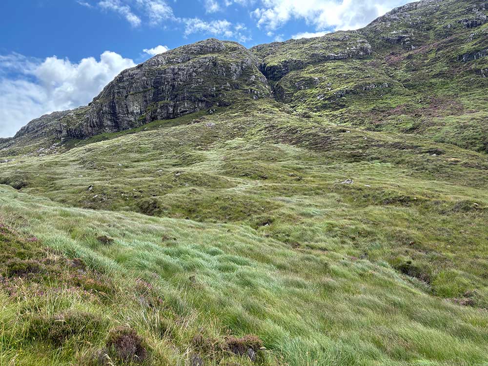
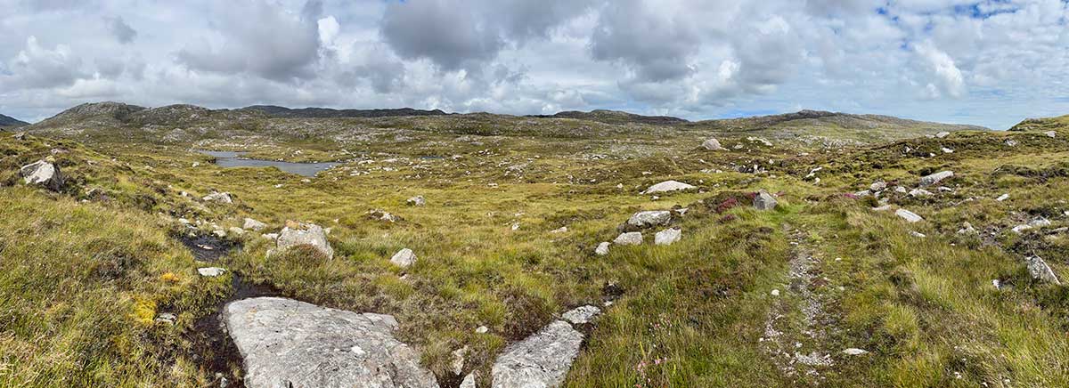
The going didn’t get any easier as I climbed a little higher and seemed to keep traversing along the hillside for what felt like forever. I stopped for lunch on a rocky knoll and then continued the never-ending slog, eventually coming to a pathless, very steep climb up the side of Carran, a 245 m hill overlooking southern Harris. There were no paths, no marker posts, and at times the ground was almost steep enough to be classed as scrambling. Eventually I did pick up some marker posts across the top and started to get amazing views down over Seilebost and Luskentyre Sands.
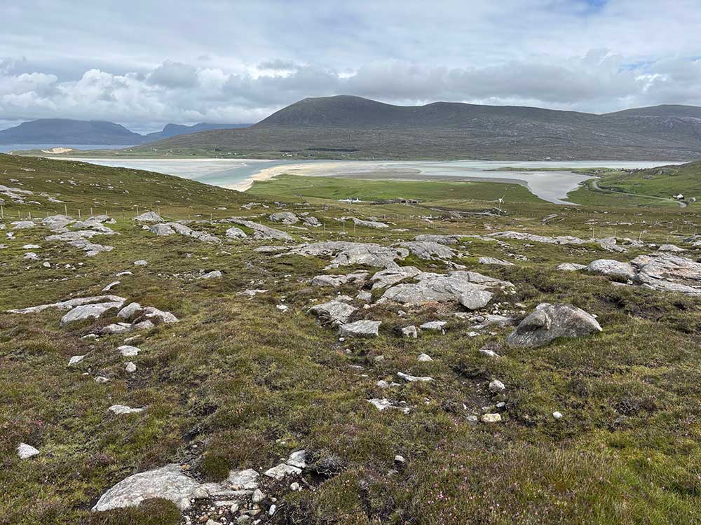
Descending to Seilebost and the Coffin Route
The descent wasn’t any easier—once again pathless and with no marker posts, it was a case of picking my way through the rocky outcrops, avoiding the steeper or vertical sections and trying to stay away from the boggiest parts. The sun was at least coming out now, and having not seen anyone all day, I could now see some people on the paths below. The next part of my walk was also laid out before me as an easy-looking track making its way up the valley from Seilebost.
At the bottom I joined the track and came across a German girl sitting on the side of it, tending to her feet. She was walking the Hebridean Way too, but had missed out the tough section I’d just done and had walked along the road yesterday instead. She’d camped in Seilebost and had just started walking for the day. After a short chat, I left her taping up her feet and carried on my way.
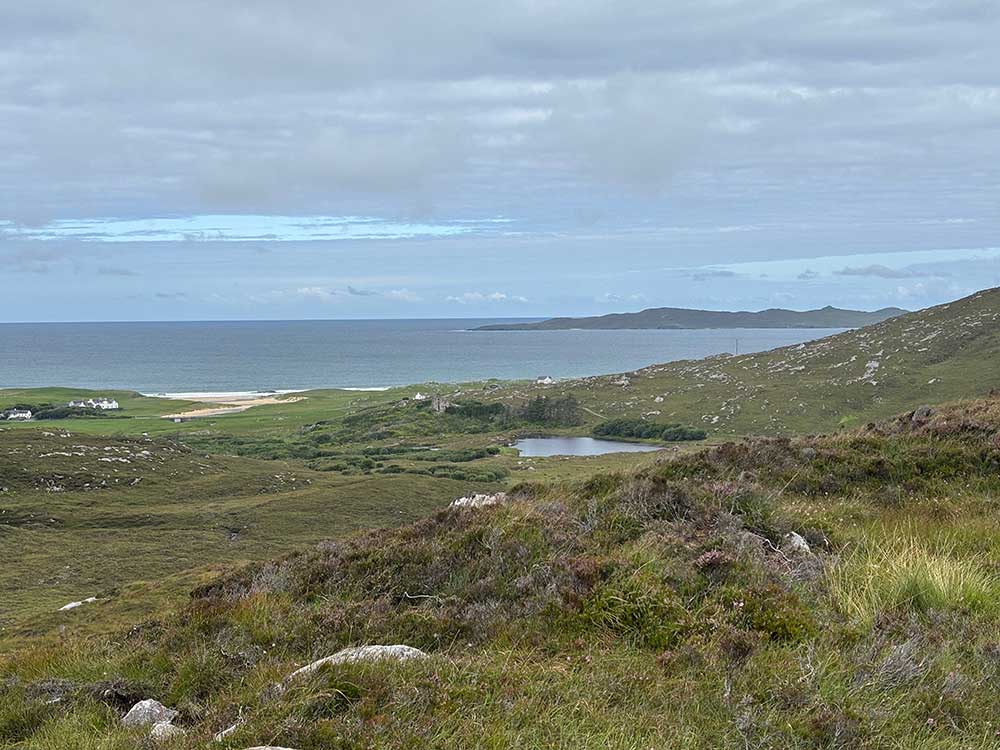
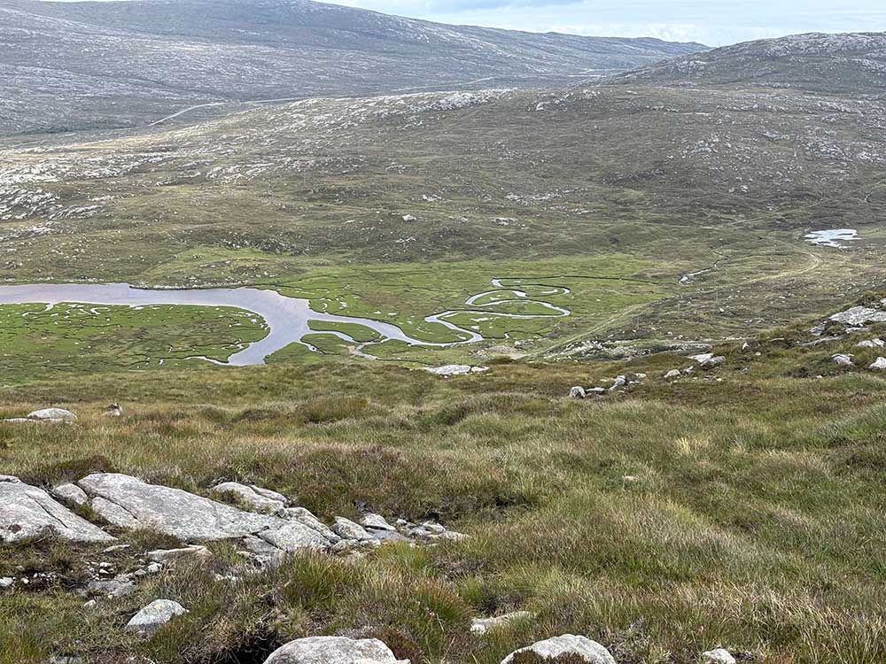
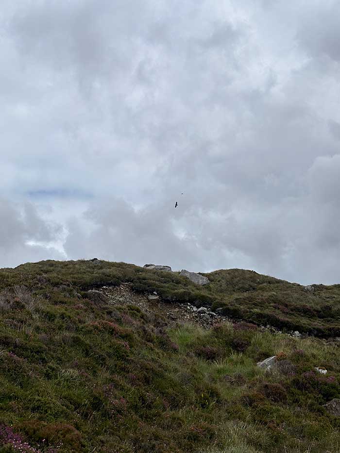
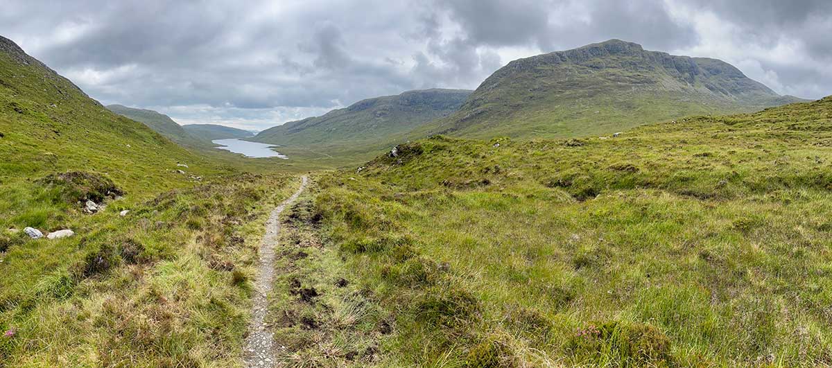
The next section was much easier as it followed a wide, well-made trail called the Coffin Way—an old coffin road used by islanders from the east to carry their dead to burial grounds in the west. It made for easy walking, first alongside Loch Carran and then up towards a mountain pass with steep-sided cliffs. I saw a golden eagle here being mobbed by a black-backed gull. The gull, which is a large bird itself, looked tiny in comparison!
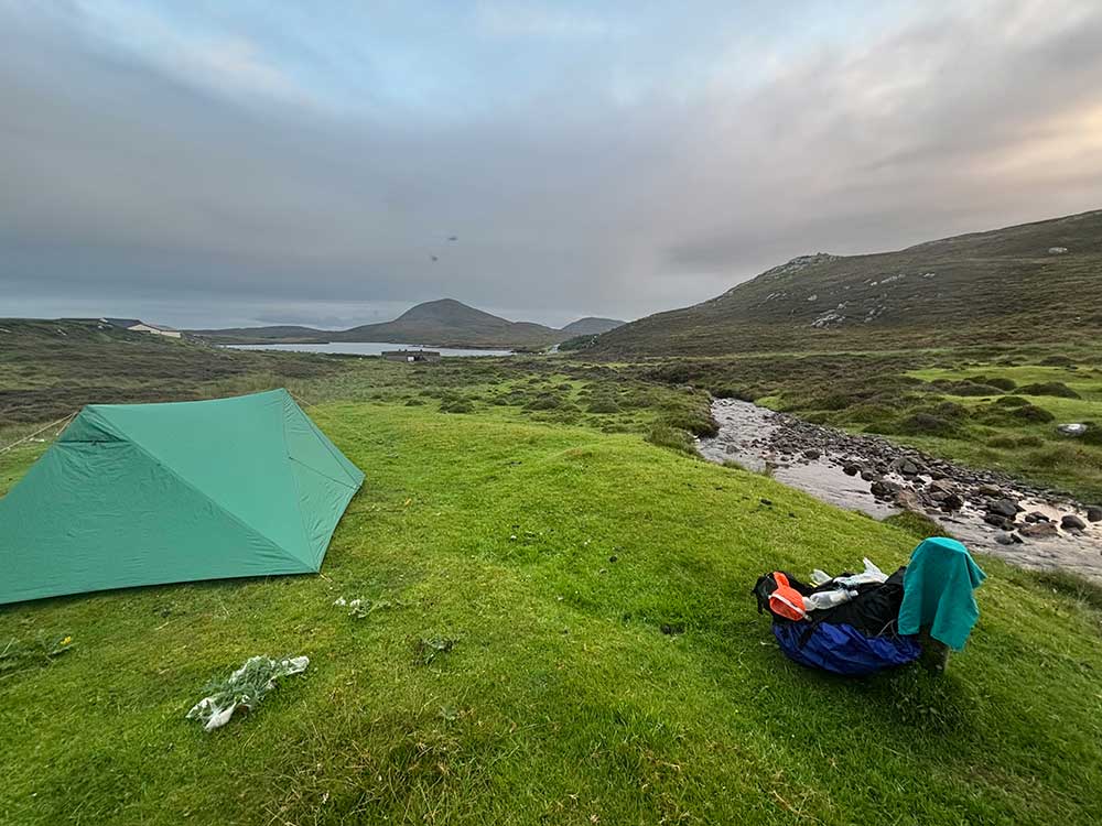
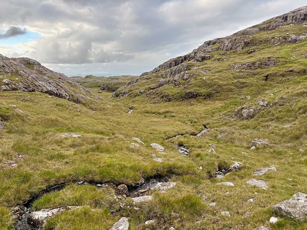
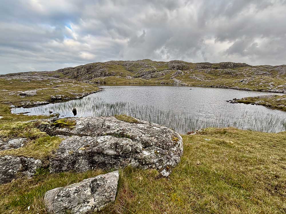
The path became a little narrower and rockier on the descent towards the eastern side of Harris, but was still pretty easy going. Eventually, it reached a sea inlet and turned left up through some boggier ground once again. This wasn’t a long section, as it took me over a small hill, through some rocky terrain and then down to a sheep fold. Just beyond this I found a flattish area of grass overlooking a sea loch called Loch Stocanais.
It was getting later in the afternoon by now. It had been a tough day through tough terrain, and I thought this made a good spot to stop. It was a little close to and in sight of some houses, but still out of the way enough for a single night.
Loch Stocanais Camp and Evening Encounters
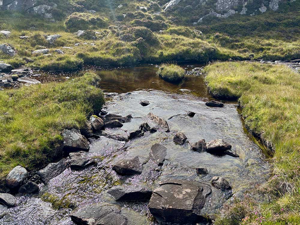
I set up camp, wandered down to the stream to get some water, headed back to it to strip off and have a wash, and then wandered back again to retrieve my towel that I’d accidentally left on a rock. I then saw the German girl I’d met earlier. She was walking along the road, having skipped the last section over the hill, and was now going to hitch into Tarbert, missing out the next section as well. She didn’t seem too concerned with strictly following the trail and was happy doing her own thing.
After a while, Sam came past as well and stopped for a chat. He commented on how tough the terrain had been today. He still had 10 miles to go to get to Tarbert, where he had a B&B booked, but he was running out of time as the terrain earlier in the day had slowed him down. He too had decided to miss out the next section and take a short-cut along the road instead.
All of a sudden, there was a heavy shower, so Sam donned his waterproofs and headed off, and I dived into my tent for shelter. It had been a good day with a decent distance covered and some tough terrain. Painkillers had kept the worst of the sciatica at bay and I was ready for a nice night in my tent.
It rained on and off overnight, so I packed my tent away slightly damp again. This morning I was careful not to leave the safety of my tent until I was fully covered up—and I’m glad I did, as the midges were once again out in force.
The Scholar’s Path: A Stunning Start to Stage 8
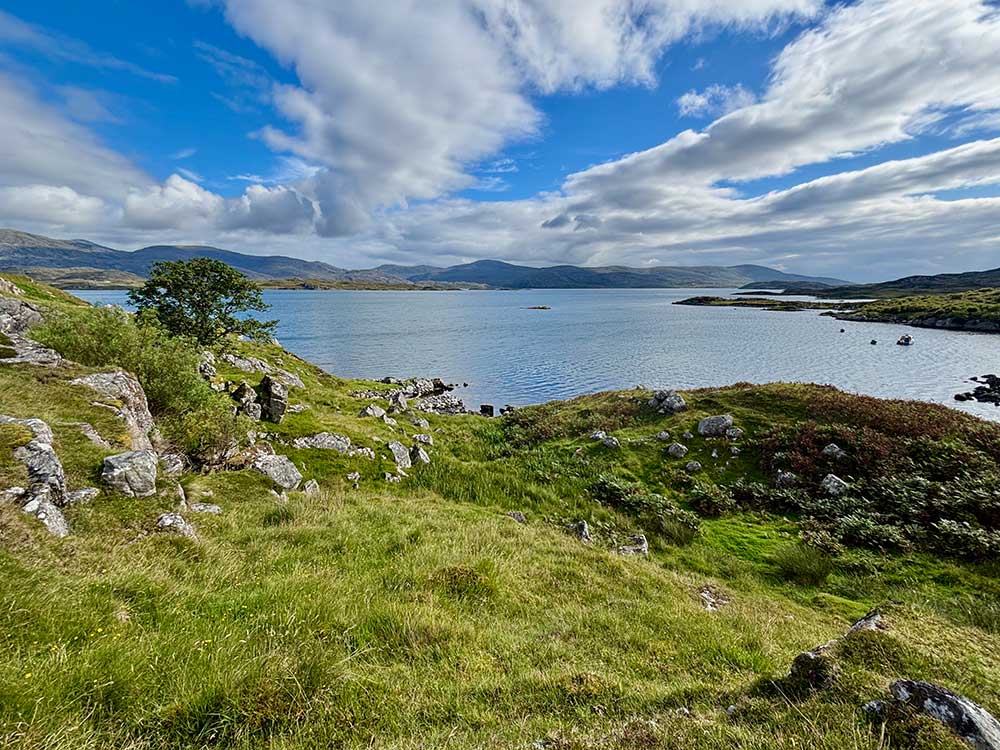
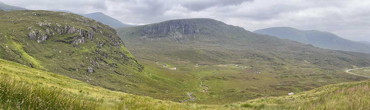
The first part of today’s walk was probably the best of the entire trail. After a short climb on the road, I joined a rocky, grassy track known as the Scholar’s Path, which followed a rocky escarpment high above Loch Stocanais. It passed a few ruins and was a lovely path—easy to follow, nice underfoot, and with good views out over the loch, over the rocky interior of Harris, and out across the sea to the cloud-topped mountains of the Isle of Skye.
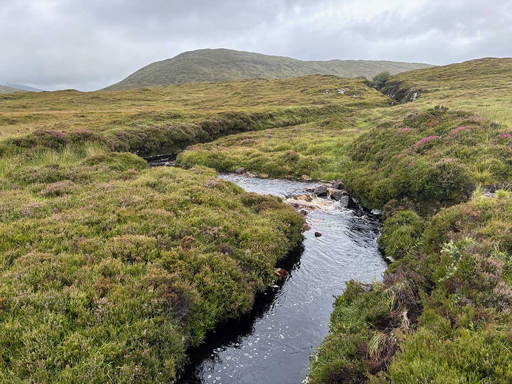
After a while, the path turned left and became even nicer. It was now a wide, grassy track that weaved its way through a spectacular rugged and rocky landscape. Sometimes it dropped down to brown, peaty streams tumbling over the rocks, and there were some perfect campsites in amongst the rocks too. I half wished I’d continued on last night and camped here instead.
Joining the Golden Road and Reaching Tarbert
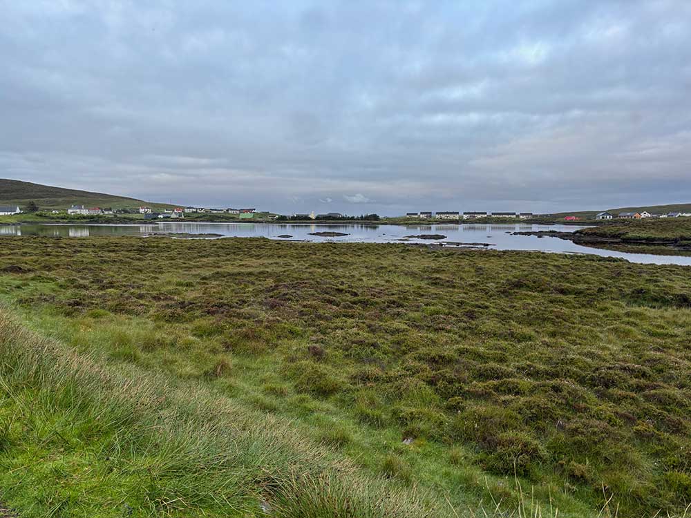
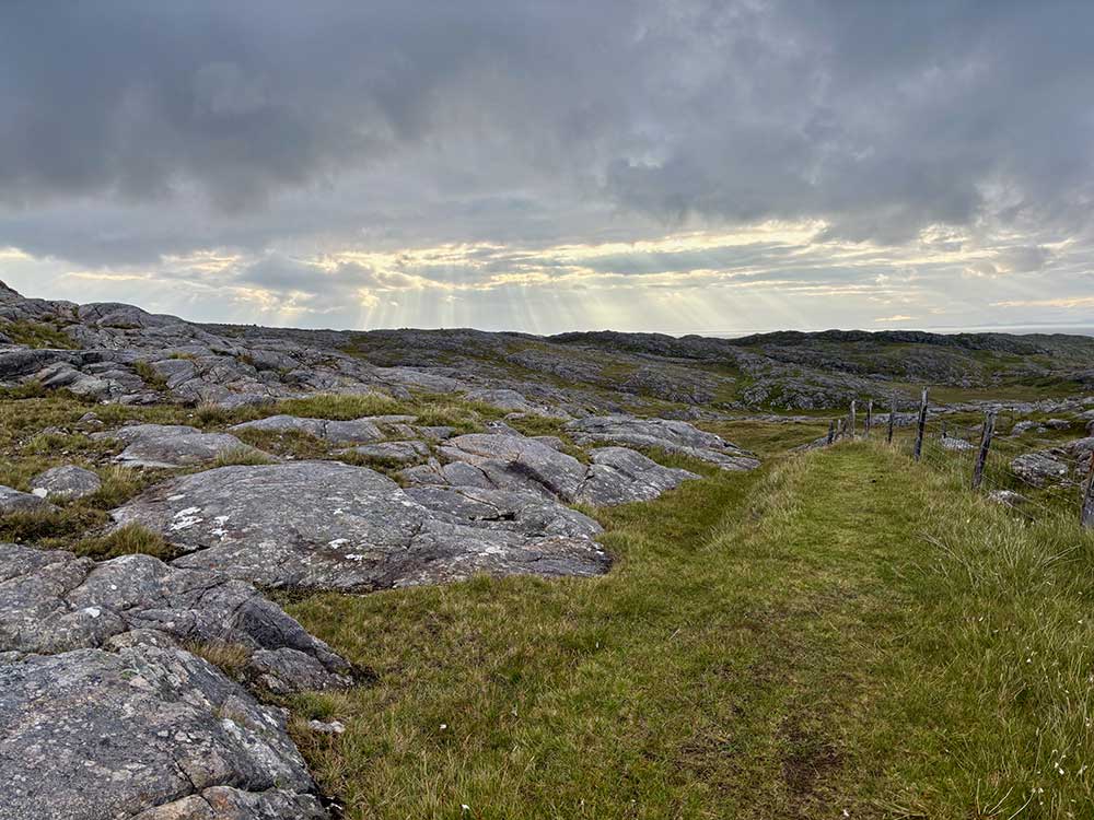
Eventually it reached the Golden Road—named for the high cost of its construction in the 1940s—and followed the tarmac for a while before heading off once again across heather moorland between two lochs, eventually emerging onto the Golden Road again at Plocrapol. Another short road stretch led to a small harbour, and then it was out along undulating coastal paths where I stopped on a bench for a while to air my feet. Not long after, I climbed a small hill and dropped down into the somewhat bustling (at least in comparison to the remote moorlands) town of Tarbert.
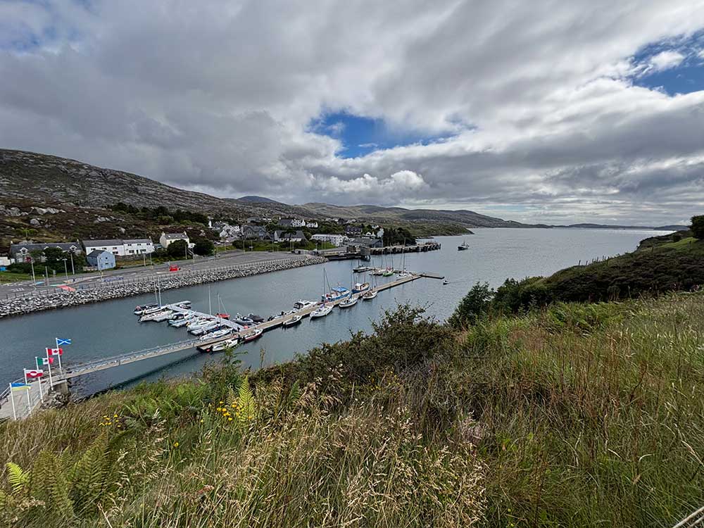
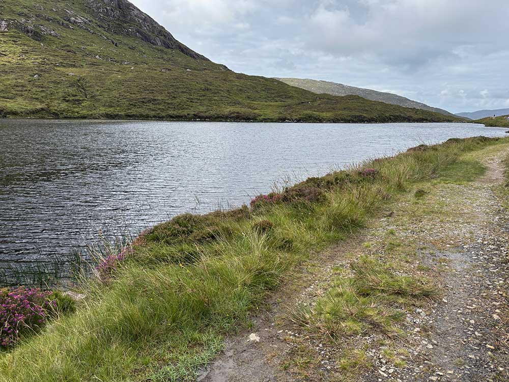
Here I stopped for a proper lunch in a café, recharged my battery pack, and restocked with some supplies before setting off once again along the main road and then along the easy track beside the spectacular Laxadale Loch.
The Bull, the Hills, and the Hostel
A couple of people stopped me as I joined this track to say that it was currently impassable due to a bull on the trail. There wasn’t much I could do about that, so I decided to see if I could get past him. Fortunately, a little further on, a farmer and his son passed me on a quad bike, and a little further still they were seen coming back herding a small group of cattle—including a huge bull. I stepped off the path to let them pass—problem solved.
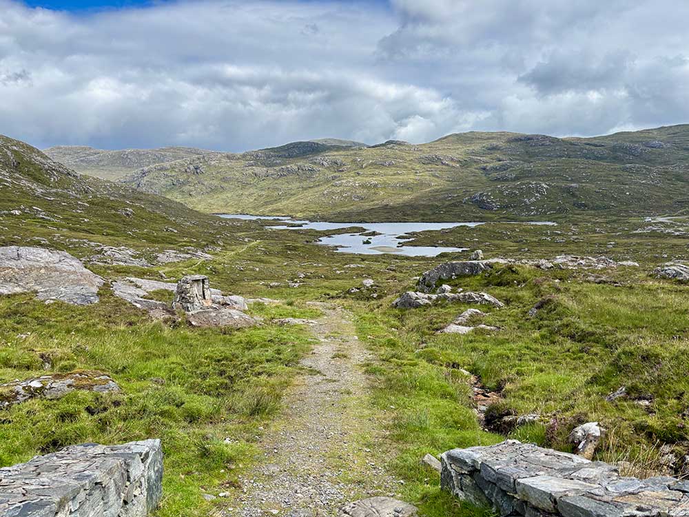
I was now heading into the mountainous area of Harris, with a climb up to a mountain col and then down the other side through slightly boggier ground to the Maraig Road. It was nice to be in the hills, and it felt as though I’d already covered a lot of distance today. The beaches of the Uists seemed a million miles away.
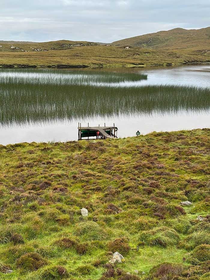
After a short climb on the road I met a couple of women taking their time on the trail and then headed out across some more wet ground along an old path that climbs gently between the Clisham range and its outlier, Cleit Ard. Although grassy underfoot, it was once again very boggy in places. It passes to the right of Lochan a’ Cleit Ard before beginning to descend slightly. There were few places dry enough or flat enough to camp up here, and I now had my sights set on the Scaladale Centre, a hostel not too far ahead where hopefully I could have a proper bed for the night and a shower.
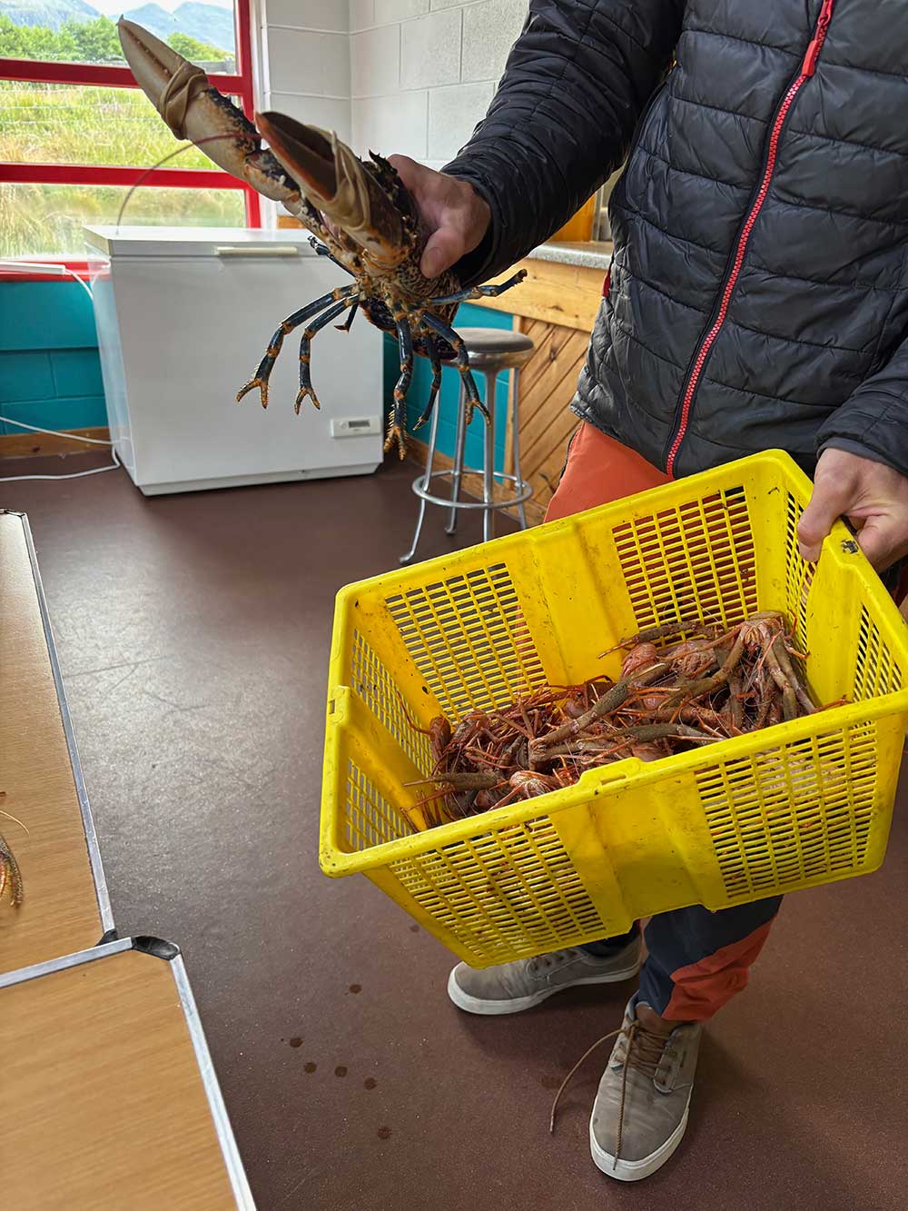
Sure enough, they had a vacancy in a shared dorm, and I soon felt revived and clean. The owners were nice, as were the clientele, so it was good to see what everyone was up to. The owners actually returned at one point with a catch from the loch.
There was even a family there who had been to Aberystwyth University and now lived pretty much next door to where I used to live in Bristol. It’s a small world!
It had been a long day with some decent distance covered and probably the best trails so far—with really varied terrain and some stunning scenery. Tomorrow I would be heading to the final island of Lewis.
Discover more from A Simple Life of Luxury
Subscribe to get the latest posts sent to your email.


For a moment I thought it was your catch…..