The Hebridean Way – Stage 6: North Uist and Berneray
All Alone
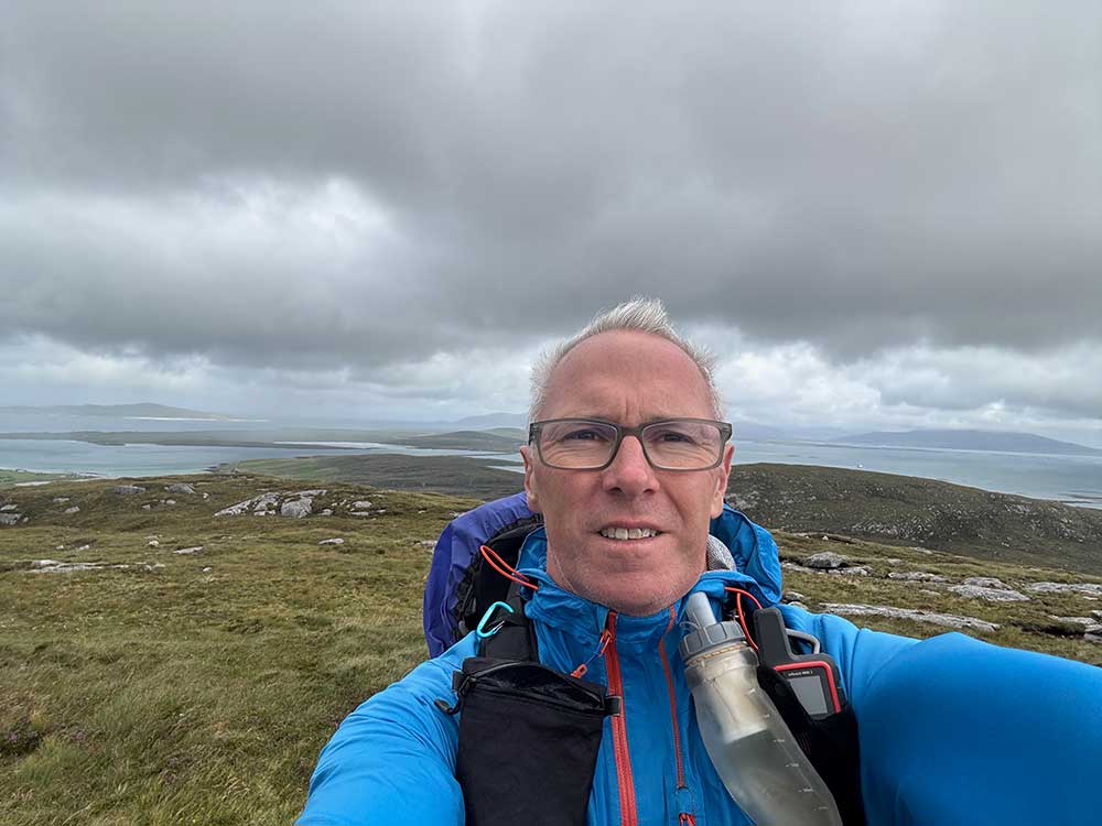
It was all change today, as Anna would be heading home. We were, of course, up and ready to go earlier than we needed to be, but there wasn’t much point hanging around. We headed off towards Lochmaddy so that Anna could drop me off where I’d finished my walk yesterday. This time, I was fully loaded — everything I needed to survive was crammed into a larger rucksack on my back: camping kit, tent, sleeping bag, food for five days, clothes, electronics, water, and a few other bits and pieces. I’d be setting off on my own into the wilds of the Outer Hebrides.
Anna, meanwhile, would head back to Benbecula airport for a flight to Glasgow, followed by an adventure of her own involving a number of trains and rail replacement buses back to Wales.
It was sad walking off and leaving her — the past week had been perfect. Meeting Anna and having someone to chat to every few hours had been ideal. She’d enjoyed doing a few short walks and some proper relaxing in between. The comfort of the B&B might be missed too. But this was what I was here to do, and Anna had to go back to work — so I was now on my own.
Hills and Lochs
After a walk along the main road towards Lochmaddy, I took a left turn and followed a minor road in a northwesterly direction. I didn’t see any cars other than the postman on these roads. After about three miles, I left the road and began climbing the hill of Blathaisbhal. The path didn’t take me all the way to the top, but skirted around its flanks before crossing a grassy, somewhat boggy plateau and dropping back down to the road.
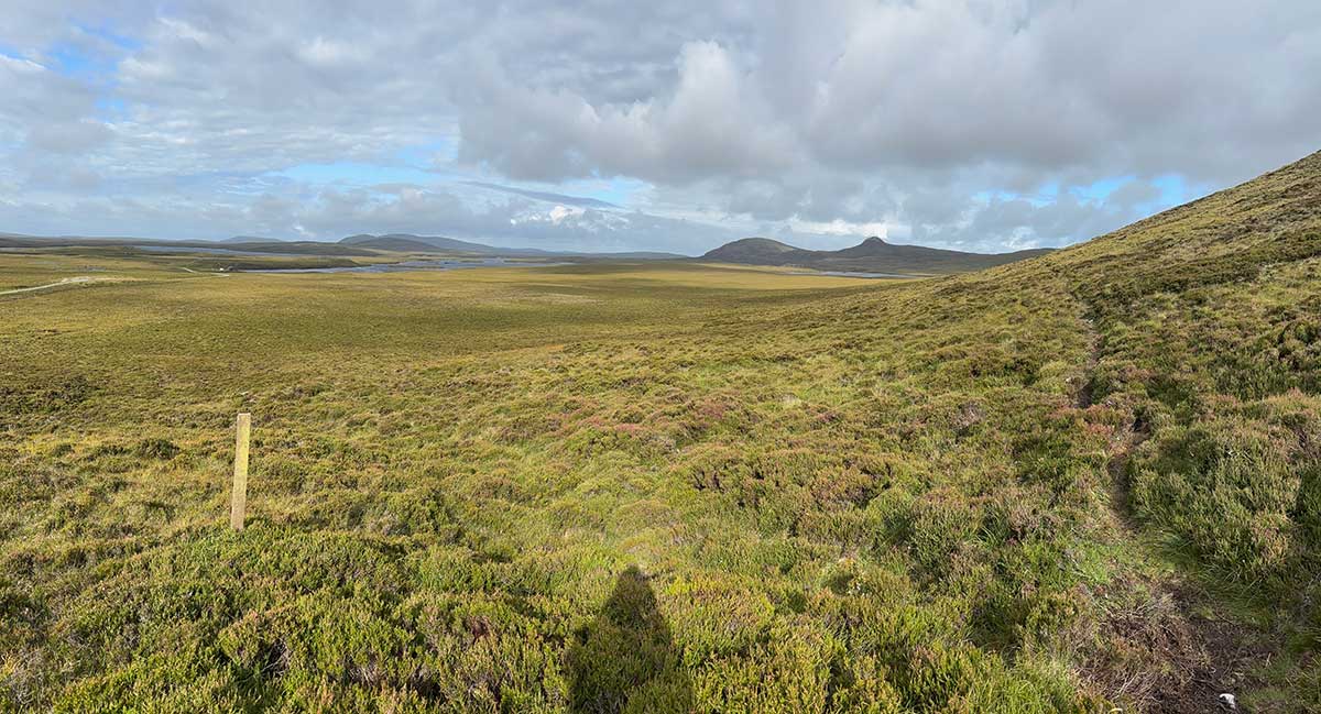
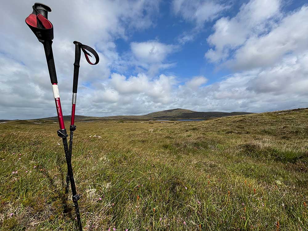
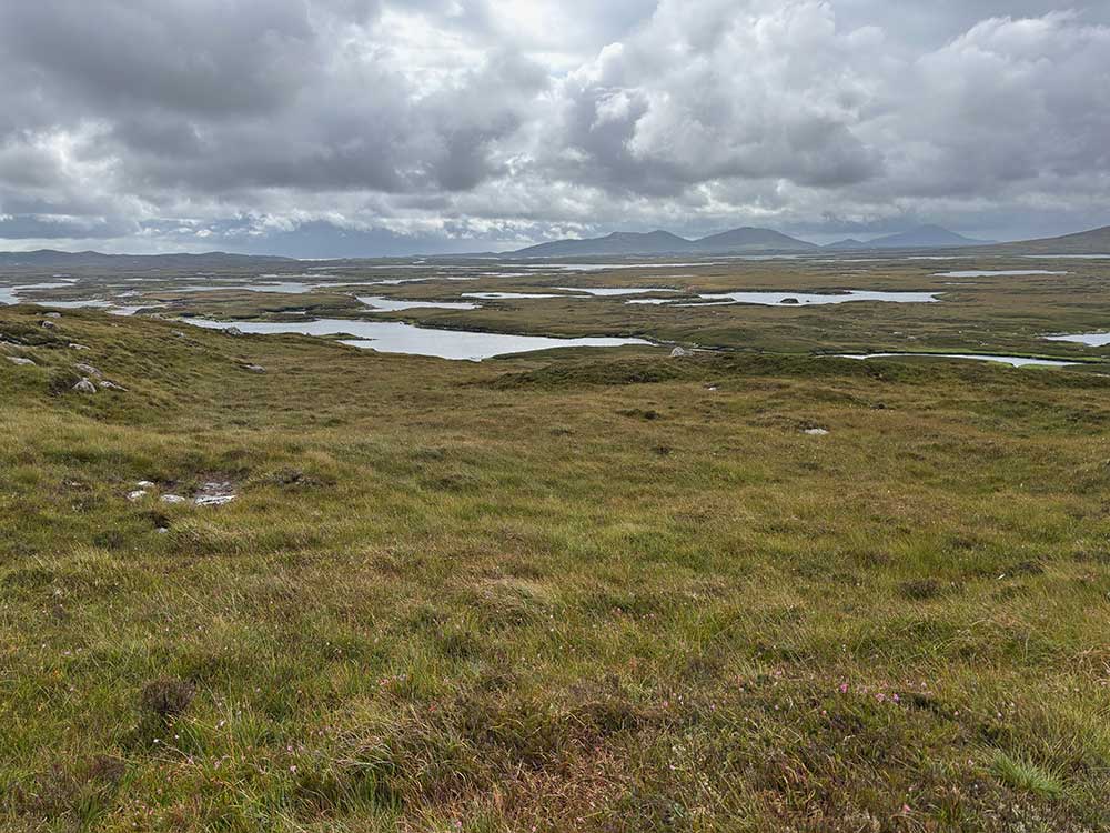
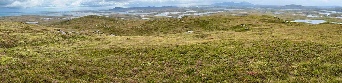
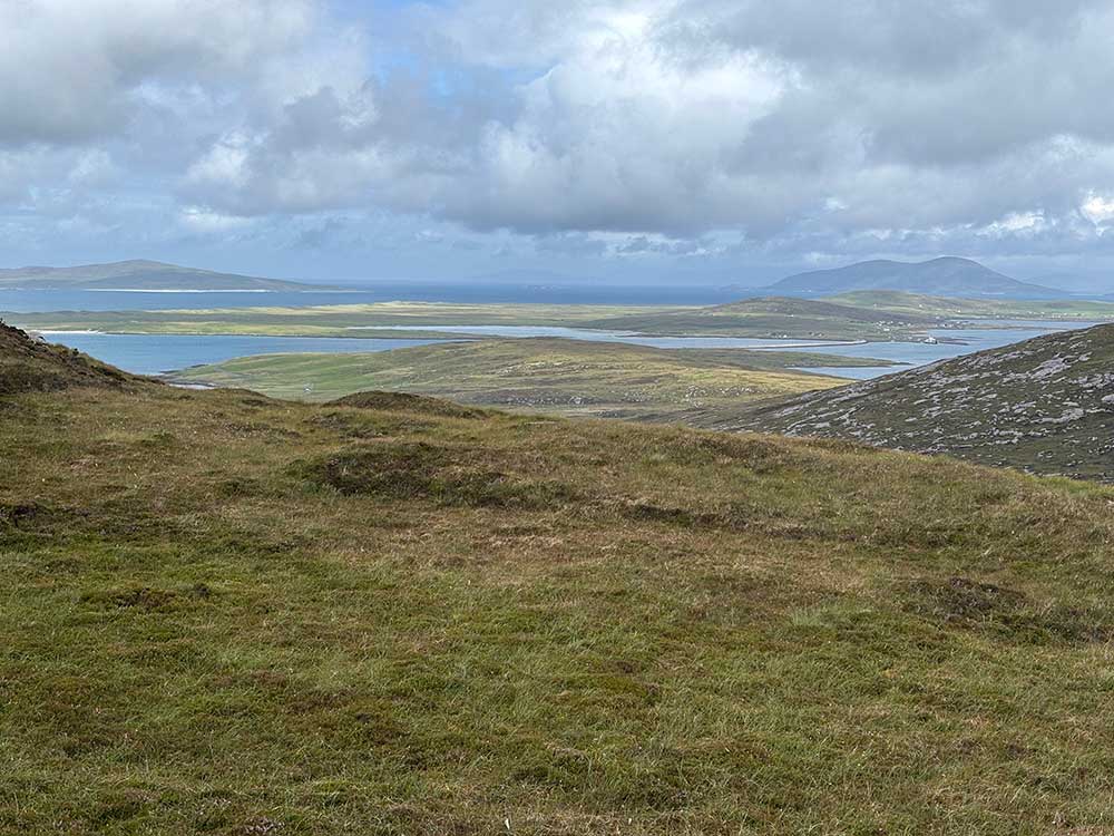
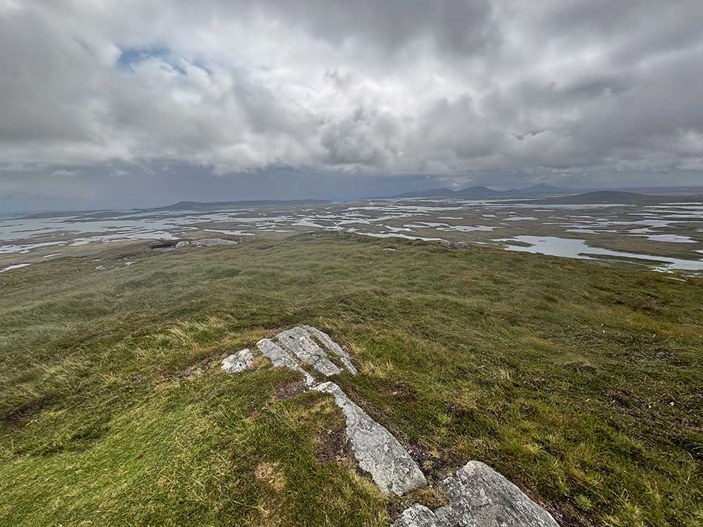
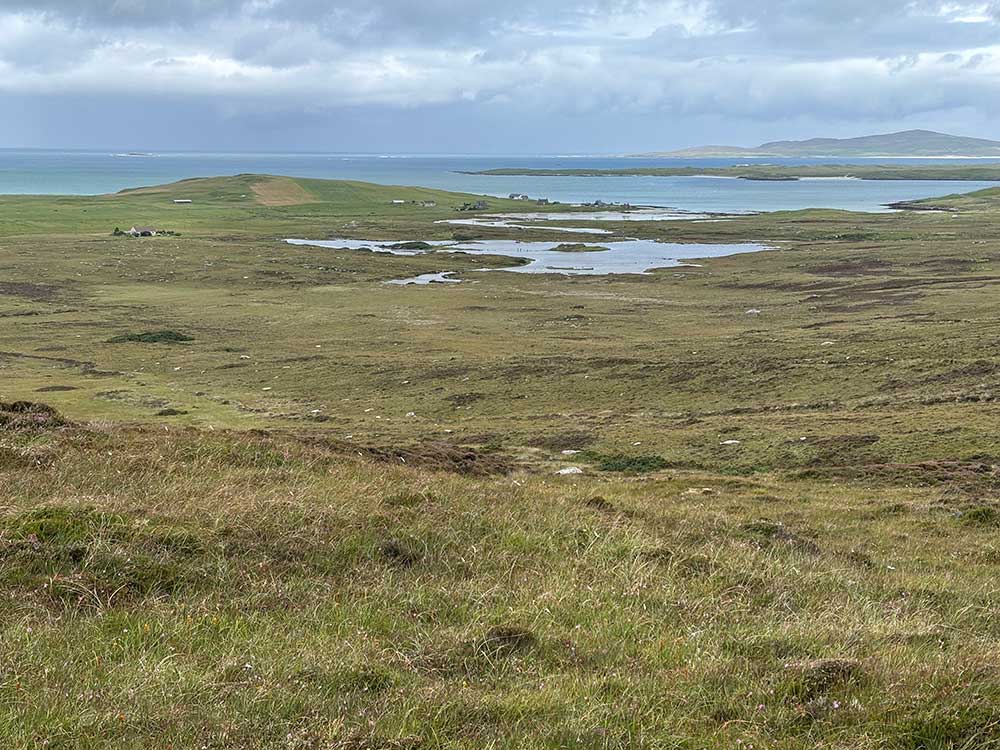
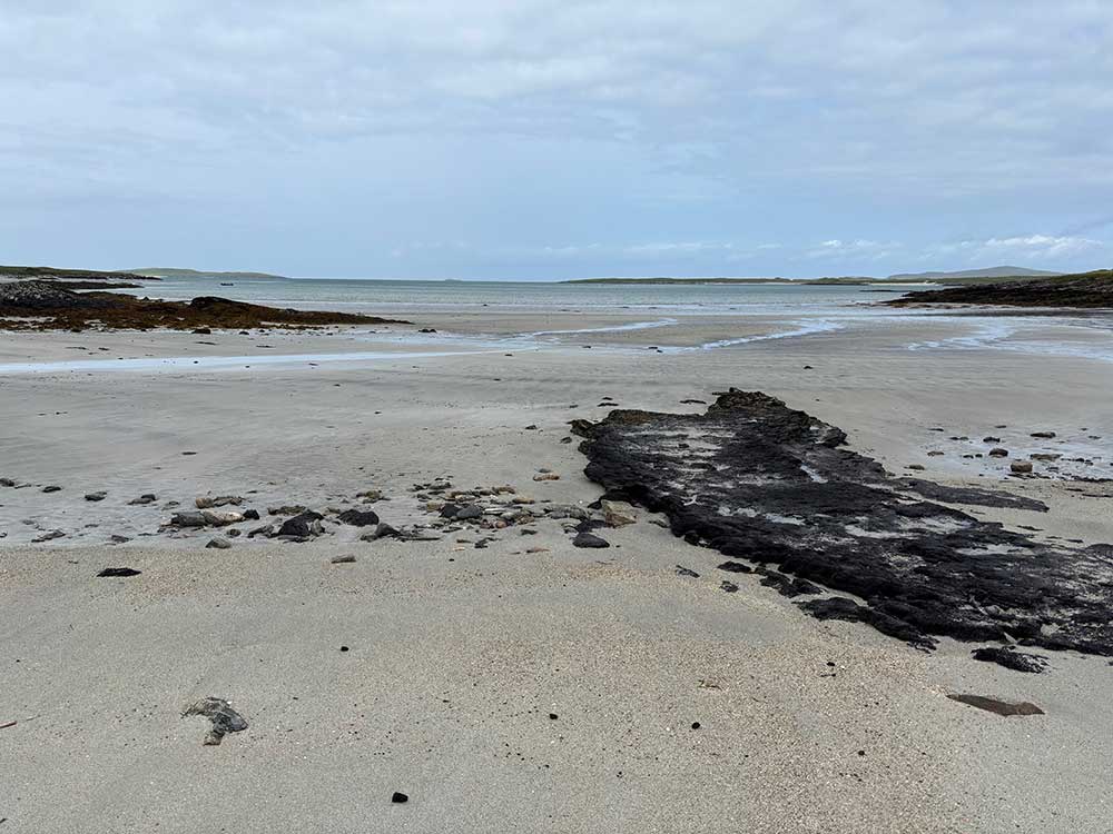
I then turned onto an even smaller road that crossed tidal inlets and skirted around lochs. North Uist really is more water than land around here. The sheer number of lochs here is staggering — more than 9,000 dot the island. The mix of freshwater and sea lochs makes the landscape feel like a jigsaw puzzle of land and water. It’s a haven for wildlife, especially birds like redshank, curlew, and greylag geese. I was making plenty of stops and taking it easy due to sciatica pains. The weather was a mix of sunny spells and light showers.
Beinn Mhòr and Dun an Sticir
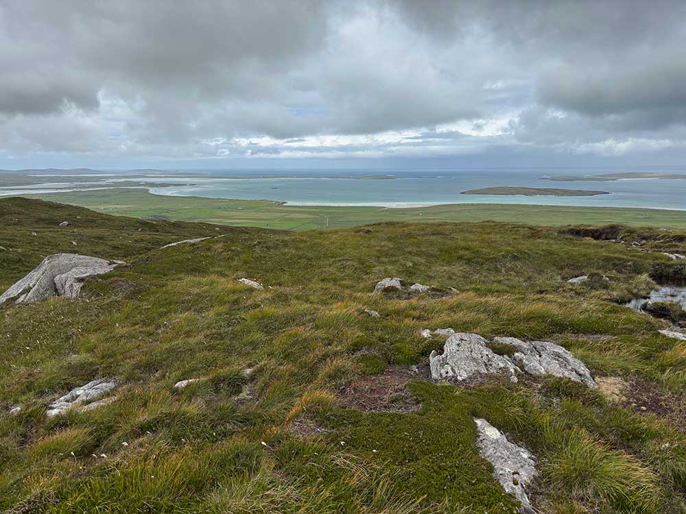
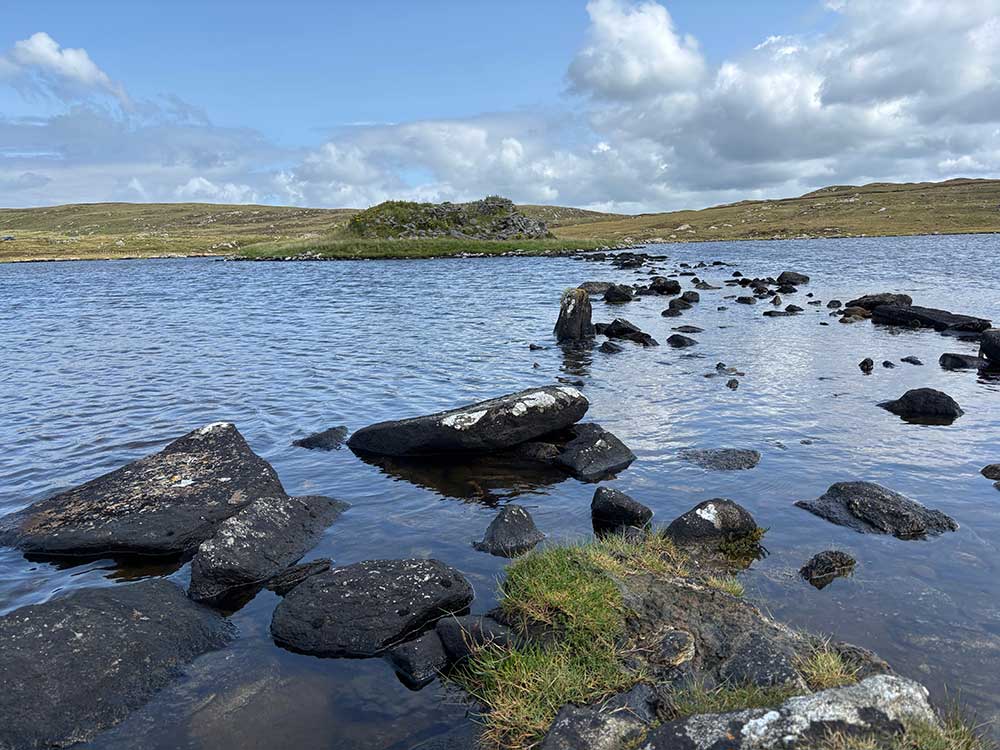
Soon I was heading out over boggy ground, weaving along the shores of lochs before climbing Beinn Mhòr, where I detoured to the summit — just because I could. Beinn Mhòr, meaning “big mountain” in Gaelic, isn’t especially high but feels prominent thanks to the flat terrain around it and it provides excellent views out over North Uist and onto Berneray.
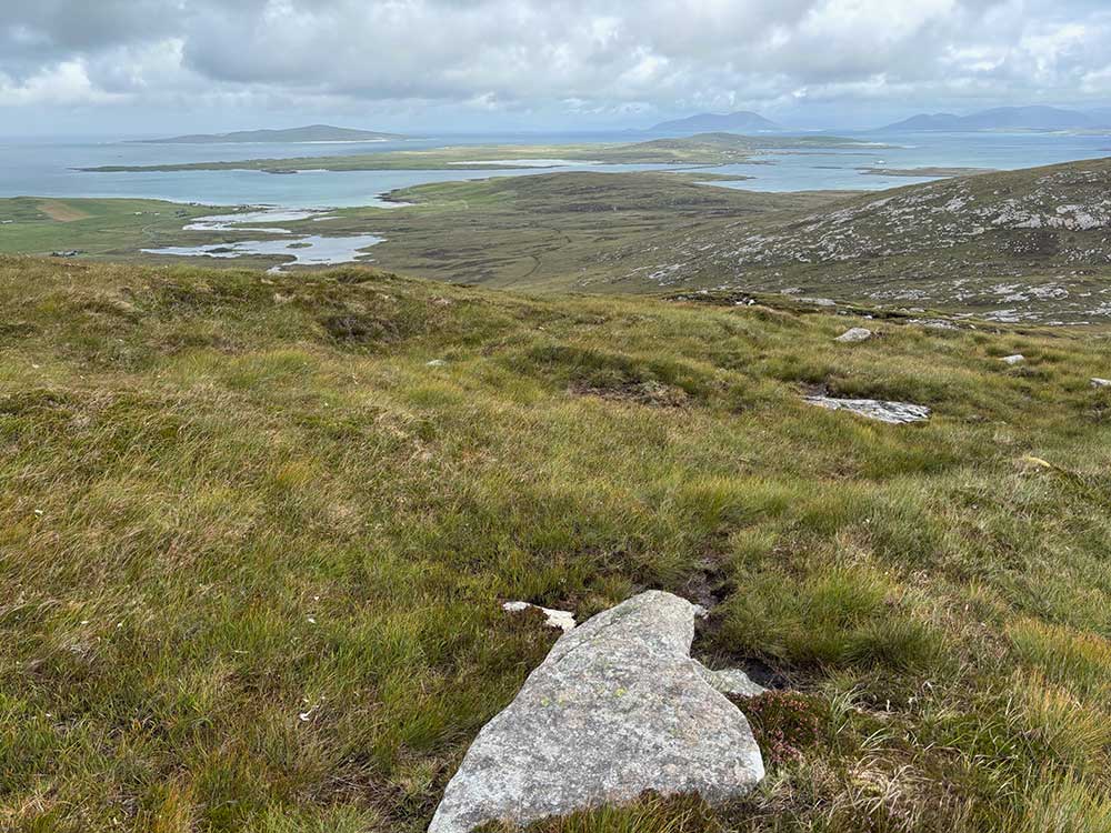
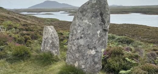
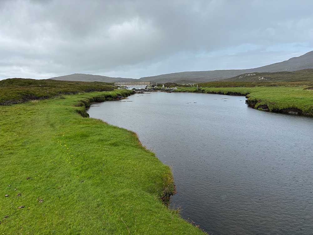
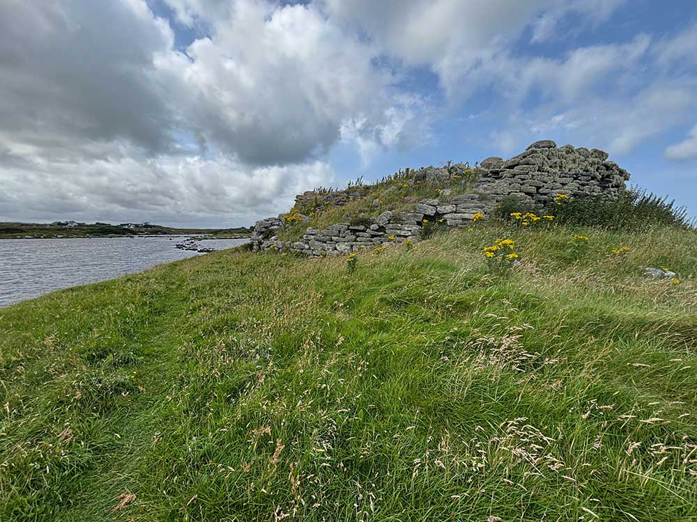
I then descended towards Berneray, stopping first for lunch and then detouring again to explore Dun an Sticir, an Iron Age broch situated on an island in Loch an Sticir. The broch island is connected by a causeway to a larger island called Eilean na Mi-Chomhairle, which is in turn connected via two causeways to the mainland. All are accessible via stepping stones that were partially submerged by the tide. I went out to explore, doing my best to keep my feet dry.
Berneray
I then wandered down to the beach at Port nan Long, where there were some nice potential camp spots.
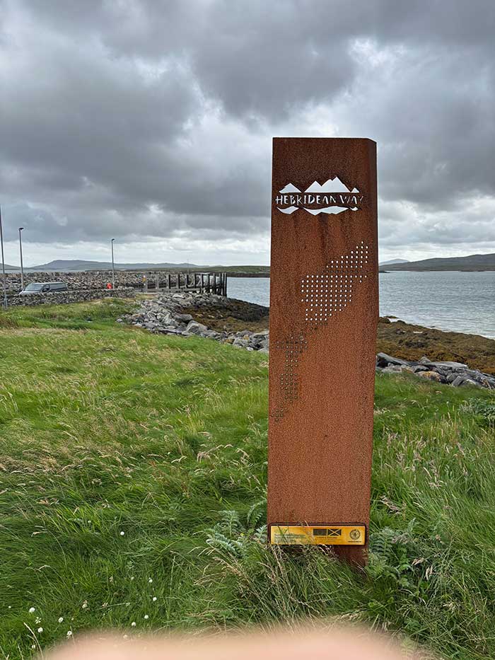
But as it was still early, I decided to head on, crossing the causeway and leaving North Uist behind me as I made my way to the island of Berneray. The causeway connecting North Uist to Berneray was completed in 1999 and stretches for 900 metres. Before that, Berneray was only accessible by boat. It’s a lifeline now, linking the islands physically and economically. My plan now was to catch the afternoon ferry to Harris and camp there for the night so I could make an early start in the morning.
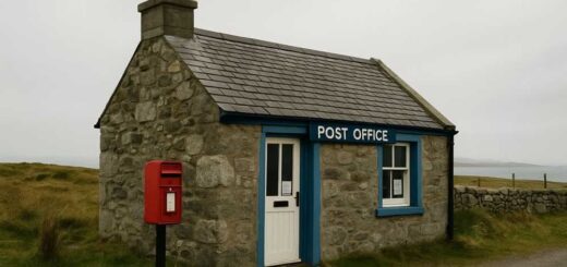
Unfortunately, due to the tides, there wasn’t an afternoon ferry. The next one wasn’t until 5:20?pm, so I now had three hours sat waiting in a somewhat dreary ferry terminal. Considering the fact that Berneray is our favourite of the Outer Hebridean islands, its ferry terminal is a cold, uninspiring place. It was actually colder inside than it was outside, but it was threatening to rain. There are toilets here but no other amenities. I found myself wishing there was a café like at the ferry terminal on Barra. In the end, I waited outside where it was warmer — at least until about 5?pm when it started to rain.
All types of rain and the Ferry to Leverburgh
The Scots have lots of names for rain. Today, it started out as a smirr — a kind of lazy drizzle that doesn’t drench you but manages to soak you slowly through sheer persistence. The general feel was one of dreich — grey, miserable, and damp. It seemed quite dark already.
As I waited, a guy called Sam joined me and we got chatting. He was a wildlife cameraman also walking the Hebridean Way, but aiming to do it in just five days, which meant covering some serious distances each day. He had started out camping but soon changed his mind about that, and had now booked into B&Bs for the rest of the way. That did mean he had less flexibility and had to reach specific places each night, but he was at least warm and dry.
We got on well and chatted during the ferry crossing. By the time we boarded, the rain had become more of a dreep — a steady, soaking rainfall — so we went straight inside and couldn’t really see much of what is usually a lovely crossing as the ferry weaves between rocks and islets. We did see a few gannets soaring by, but we were mainly chatting.
As we disembarked, it was very dark indeed — and then came a sump or a plyp — when the rain comes down like a waterfall without warning. Within seconds we were drookit — totally and utterly soaked. The roads had become rivers, and it was about as miserable as it could get. Heads down, we trudged out of Leverburgh through the gloom.
Sam found his B&B for the night. I was somewhat envious and did consider asking if they had any vacancies, but couldn’t really justify the £140 price tag. That was just too steep for me, even considering the weather. So I said goodbye and continued plodding on through the dubs (Scottish puddles) to the outskirts of Leverburgh.
Camp
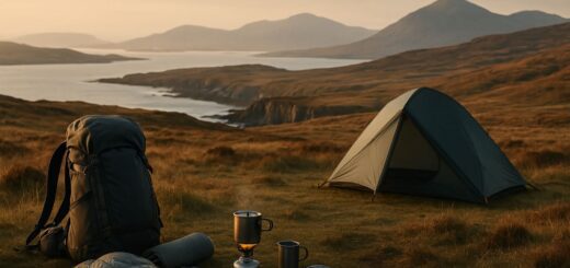
Just after the last house, as I crossed a little bridge, I spotted a flat patch of grass up to my right. I splashed through the bog to reach it and decided it would be perfect for the night. There was a small burn (stream) running alongside it, and it was sheltered from the strengthening wind. I threw up my tent, dived in out of the rain, and sorted myself out.
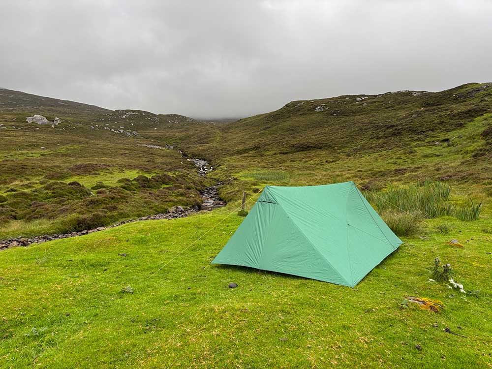
Once set up and with some warm food inside me, things didn’t feel too bad. I was warm and dry, and the rain had eased a little anyway. That was North Uist and Berneray ticked off, and I was now on Harris — island number 9 of the journey. I checked in with Anna, hung things up to dry as best I could, and then settled down for the night.
Discover more from A Simple Life of Luxury
Subscribe to get the latest posts sent to your email.