The Hebridean Way – Stage 4: Benbecula
With three days of walking along the Hebridean Way under my belt, we were now getting into the swing of things. Having Anna supporting me in the hire car was making life easy and the whole experience good fun. The comfy bed and endless breakfast options from the B&B helped too. Progress was good and I’d done a little more than planned on days two and three, so I was already a little ahead of schedule.
Today’s walk started where I finished yesterday, on South Uist at Lochcarnan just after the community wind farm and the boggy section around Loch Bee. Anna dropped me off and planned to meet me along the main road not far into today’s walk to see how I was getting on. My piriformis/sciatica was playing up a little, so there would be no running today—just a gentle walk. It started with a very short stretch on a minor road and then headed out across boggy ground for a while before making its way down to the coast, where there was a lovely thatched cottage on the shore.
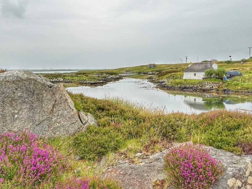
Most of these traditional thatched cottages seem to be holiday homes these days – it’s nice to see them getting a new lease of life and preserved as they do look pretty.
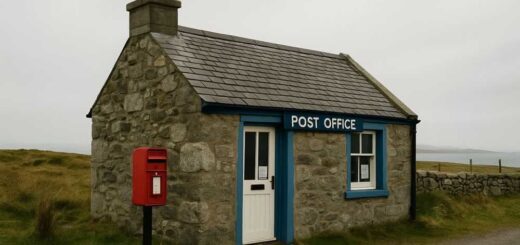
The trail then followed a minor road through Ardmore to the main road that runs south–north through the islands. There was a nice stretch of old road to the west of the main road though, so I was able to walk away from the traffic. I soon met Anna and walked with her for a bit until we got to the Post Office, where she had parked. From here, Anna headed off—first to the Co-op for some supplies and then to our next meeting point at the Dark Island Hotel.
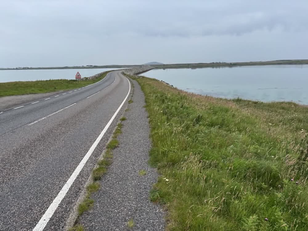
Onto Benbecula
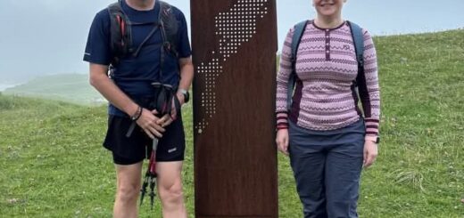
This stretch wasn’t the most exciting for me as it just followed the road—so consisted of a few miles of tarmac. I did, however, cross the causeway from South Uist onto Benbecula. Built in 1958, this causeway is one of the key pieces of infrastructure connecting the southern islands to the north. It replaced a more precarious crossing at low tide and has been vital in reducing isolation and boosting connectivity. So, I was now on island number five (Vatersay, Barra, Eriskay, and South Uist being the four I’d already completed).
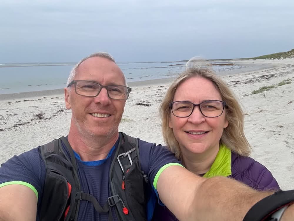
At the Dark Island Hotel in Linaclate I met Anna again. The hotel is named after the famous Scottish folk song The Dark Island, which has a haunting, wistful tone that fits the Hebridean landscape and is associated with Benbecula. We headed out towards the beach, passing the preparations for the music festival as we went. I wonder if any of the bands will do a version of The Dark Island during the festival?
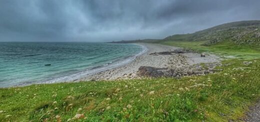
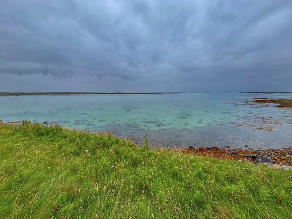
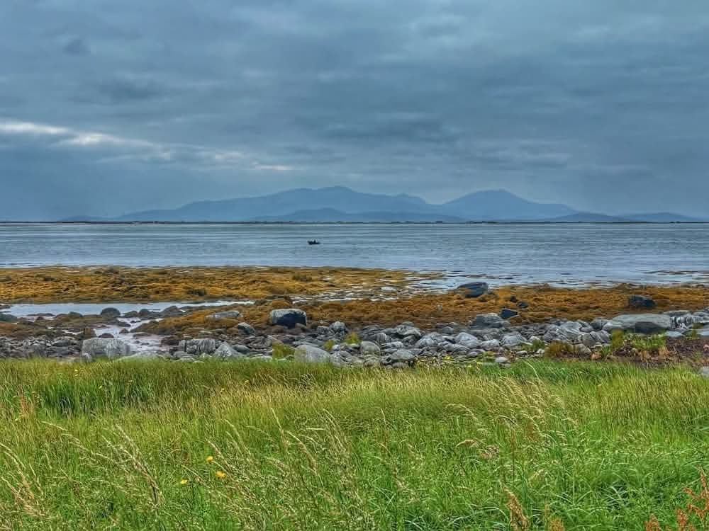
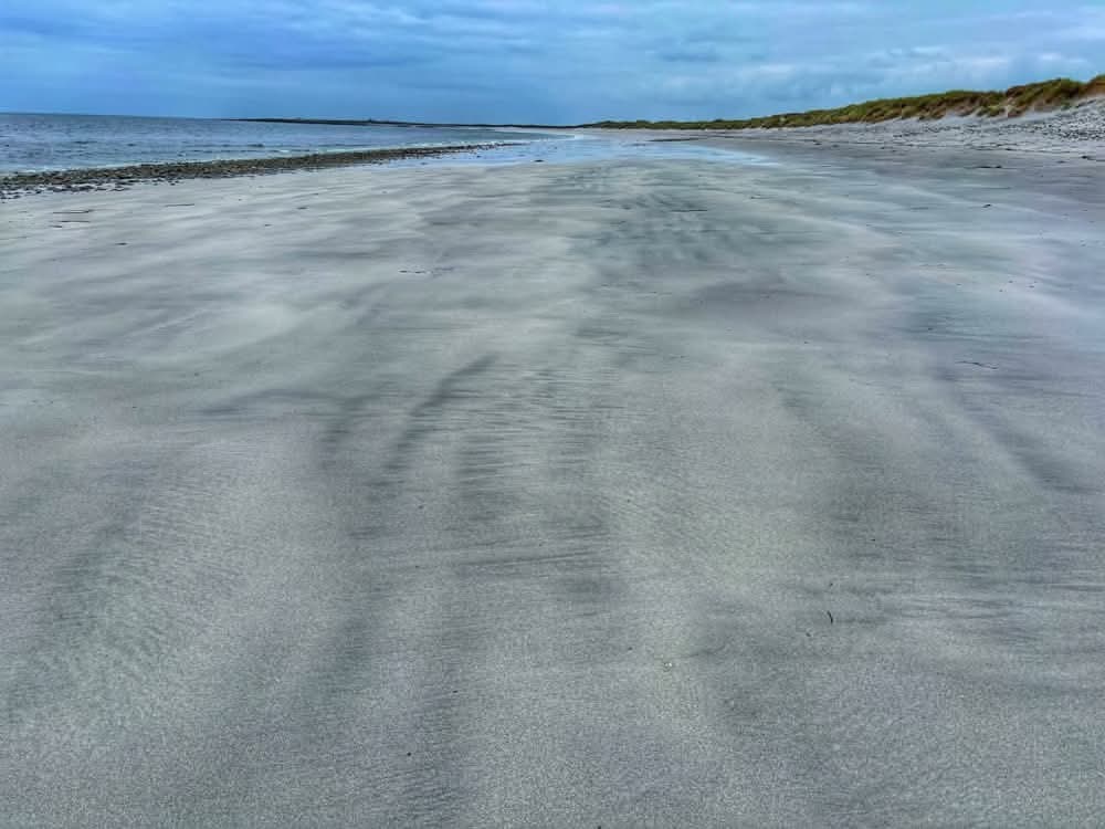
We then strolled along Linaclate Beach together. As is often the case on the Outer Hebrides, we had the beach to ourselves—save for some oystercatchers and gulls, that is. There was also a fisherman in a small boat just offshore. The weather was still a little grey and overcast, but we could see south to the hills of South Uist.
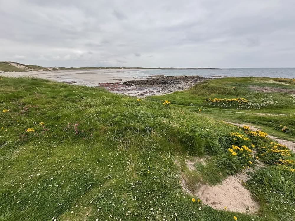
After a while on the sand, the path took us up onto the grass behind the beach as we rounded the headland. We stopped for a snack in a sheltered spot out of the wind and then continued on our way around the coast. After a short while, Anna left me to walk across the field to the road and back to the car to complete her short circuit. We had a planned meeting point for later in the day.
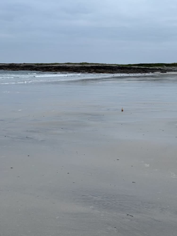
I, meanwhile, continued on my way—once more on the sands of a Benbecula beach. The usual suspects, as far as birdlife, kept a watchful eye on me as I made my way past piles of stinky seaweed which give rise to the local nickname of ‘Stinky Bay’. I joined the road at a little harbour at the end of the beach, and Anna just so happened to drive past as I did. After a short stretch on the road, it was back through the dunes to the perfectly deserted, wild beach of Culla, where ducks bobbed over small waves and a flock of oystercatchers eyed me up from the sands.
The path then took a weird little route along minor roads through Aird. A German flag was flying at one of the houses here, which made me wonder how Christian and Stephanie were getting on—there was potential for them to catch me at some point today, but I assumed they were now behind me. The route then headed east along a minor road through Benbecula. This was another fairly long, not particularly interesting stretch and I was looking forward to some lunch, so was glad to see our hire car sat in a layby, where I stopped for a break and some food.
Suitably nourished, I couldn’t sit there all day, so I was soon back on my feet walking along the remainder of this road to cross the main road once again. I passed a waste-disposal area—a reminder of the impact humans have on even these sparsely populated islands—and then soon found myself once again in pristine heather-covered moorland dotted with countless lochs.
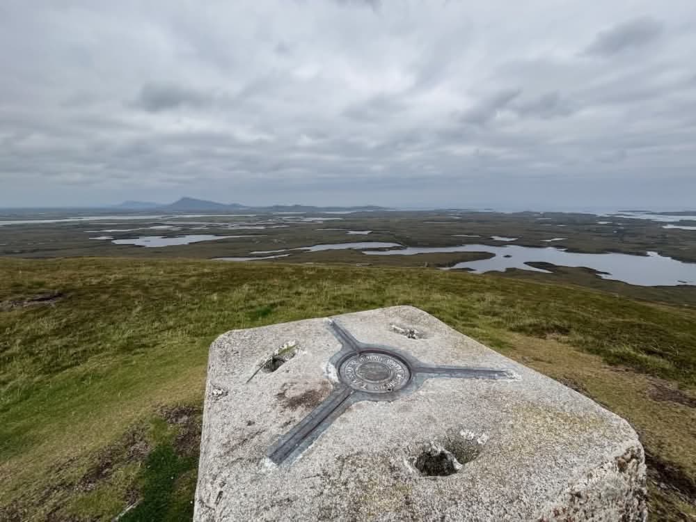
Ruabhal
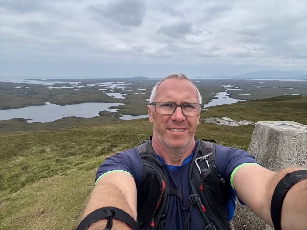
After a while, the track turned north and started heading up the slopes of Ruabhal towards the summit, the highest point on Benbecula. At 124m it’s not much of a climb, and the summit was soon reached. It may be small in stature, but the views from the top are amazing. Rhuabhal was traditionally used as a lookout point, especially during WWII when Benbecula played an important role in military aviation. Benbecula Airport (not far from here and where Anna would fly home from) was originally built as an RAF base in WWII. The RAF Coastal Command used it for anti-submarine patrols over the Atlantic. There’s still a military radar presence today.
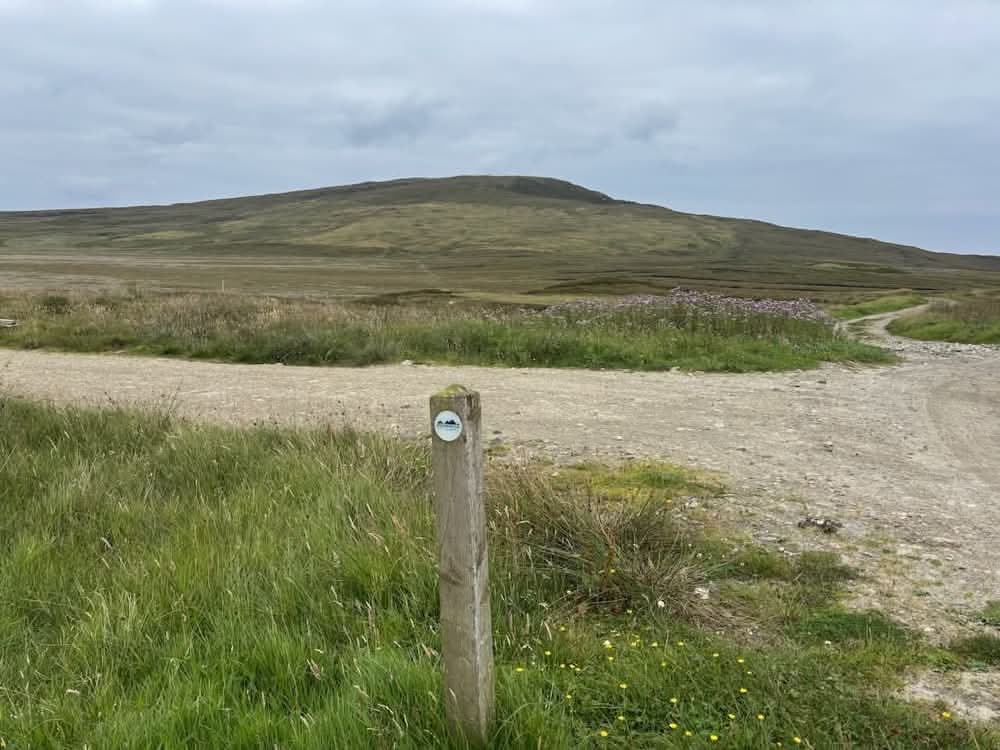
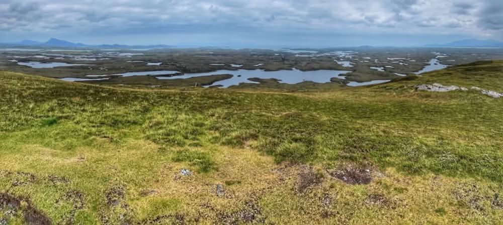
From here, there was no sign of the path down the other side—and no marker posts either. I checked the map, worked out which lochs I was supposed to go between in the distance, and headed in that general direction. I picked my way carefully avoiding the boggiest areas and the steeper rocky patches, and did eventually find a small track—and then, once at the bottom, some marker posts as well. These weaved around the shores of Loch Olabhat, one of the countless lochs that dot the landscape of Benbecula. At times it’s difficult to work out what is mainland, what is freshwater, what is island, and what is the sea. Eventually, I emerged out onto a minor road near Gramsdale where Anna was waiting for me.
That was Benbecula almost completed—tomorrow I would start with a causeway crossing onto Grimsay and then another onto North Uist.
Once in the car, we drove out to Flodda, just because we could—and it meant bagging an island we hadn’t been to before. It’s a tiny tidal island connected to Benbecula by a causeway. Its name means “flat island” in Norse, a legacy of the Viking presence in the Hebrides. It was a lovely little island with just a few houses. I imagine if you lived here, you’d be very careful to insist that you lived on Flodda and not Benbecula—even if no one knew where it was!
Discover more from A Simple Life of Luxury
Subscribe to get the latest posts sent to your email.