Traws Eryri Day 2 – Dolgellau to Trawsfynydd
It poured with rain overnight and looked set to be quite showery today, but it was dry when we headed out early to the Co-op to buy lunch supplies. There would be few places to refuel today, so we needed to take food with us.
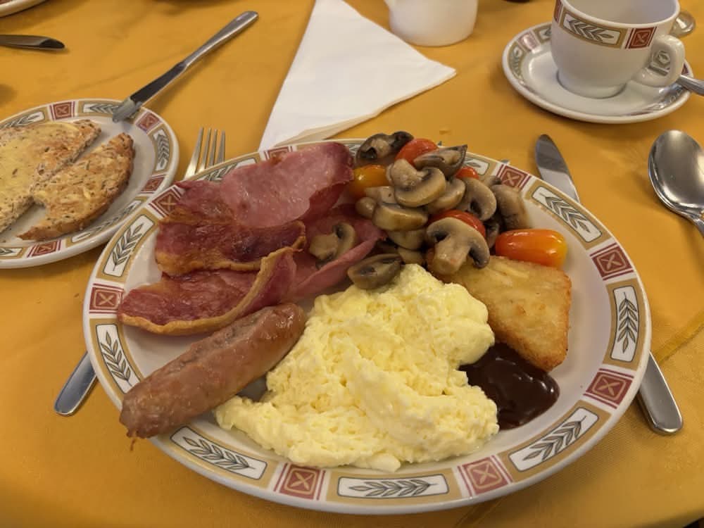
We had a very nice breakfast at Ivy House; the lady serving us just kept trying to give us more and more food. It was all nicely cooked too. We then retrieved our bikes from the secure storage basement and put our waterproofs on as it was now raining again.
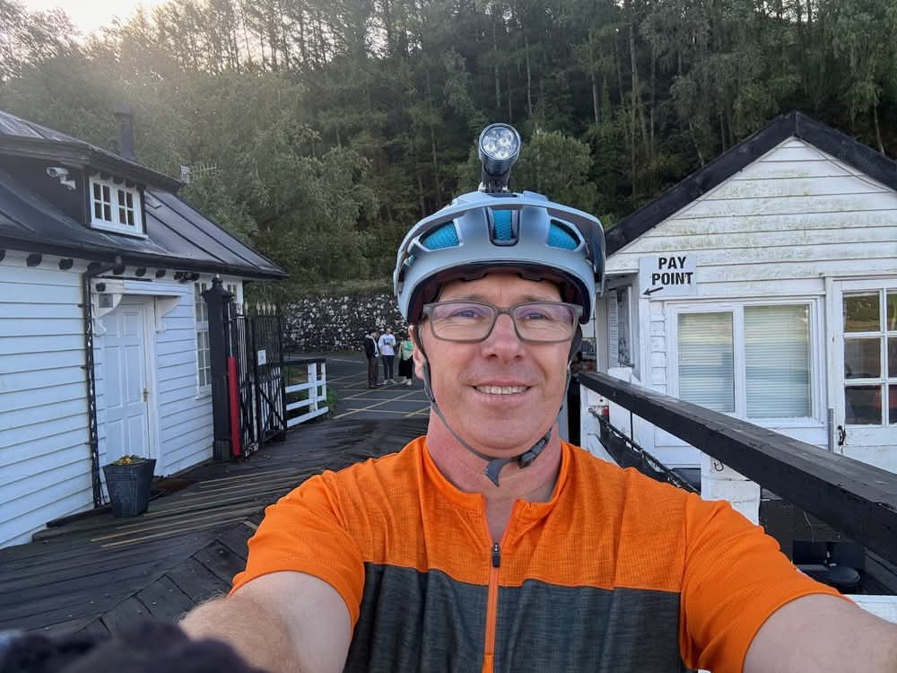
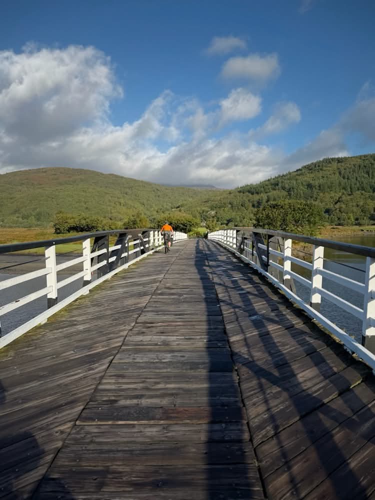
We set off on the easy, flat ride back along the Mawddach Trail to Penmaenpool. Here we paid our 50p toll and click-clacked across the bridge, where a large tree trunk on the muddy shores looked like a walrus basking beside the estuary.
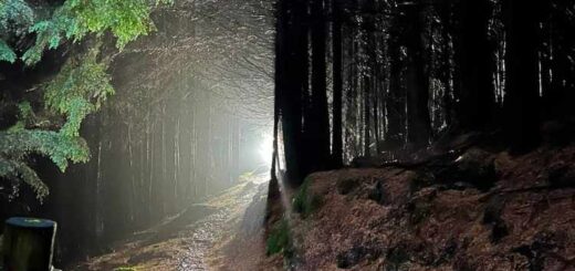
We now started the very steep climb up alongside the Afon Cwm-Mynach. It was steep indeed and went on for ages. Eventually it levelled off somewhat and turned into a gravel fire road through the woodland around Llyn Cwm-Mynach. I don’t think I’d been here before.
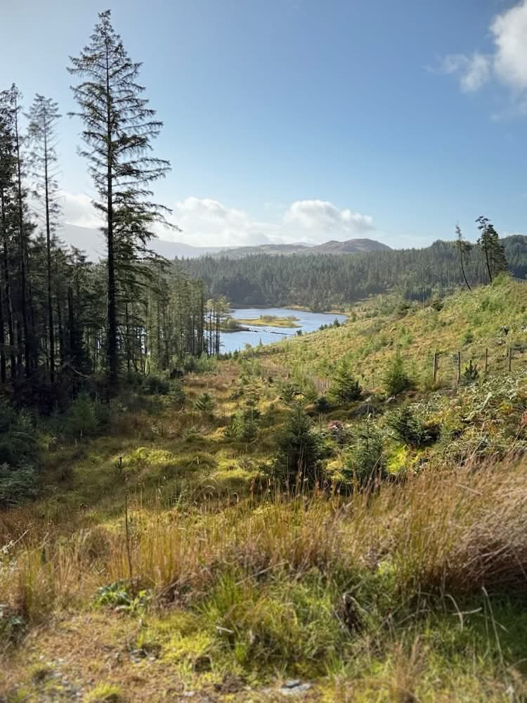
It had stopped raining by the time we had crossed the river, so my waterproof shorts and jacket were now redundant as we made our way through the forest tracks towards Coed y Brenin.
Mike wanted to check out the waterfalls in Cwm Camlan, so we made a bit of a detour down a slippery, rocky descent that was fun. We thought we’d gone the wrong way, so we returned to the start, decided it was the correct way after all, and did the descent again! We dismounted and clambered over slippery rocks to the falls for some photos.
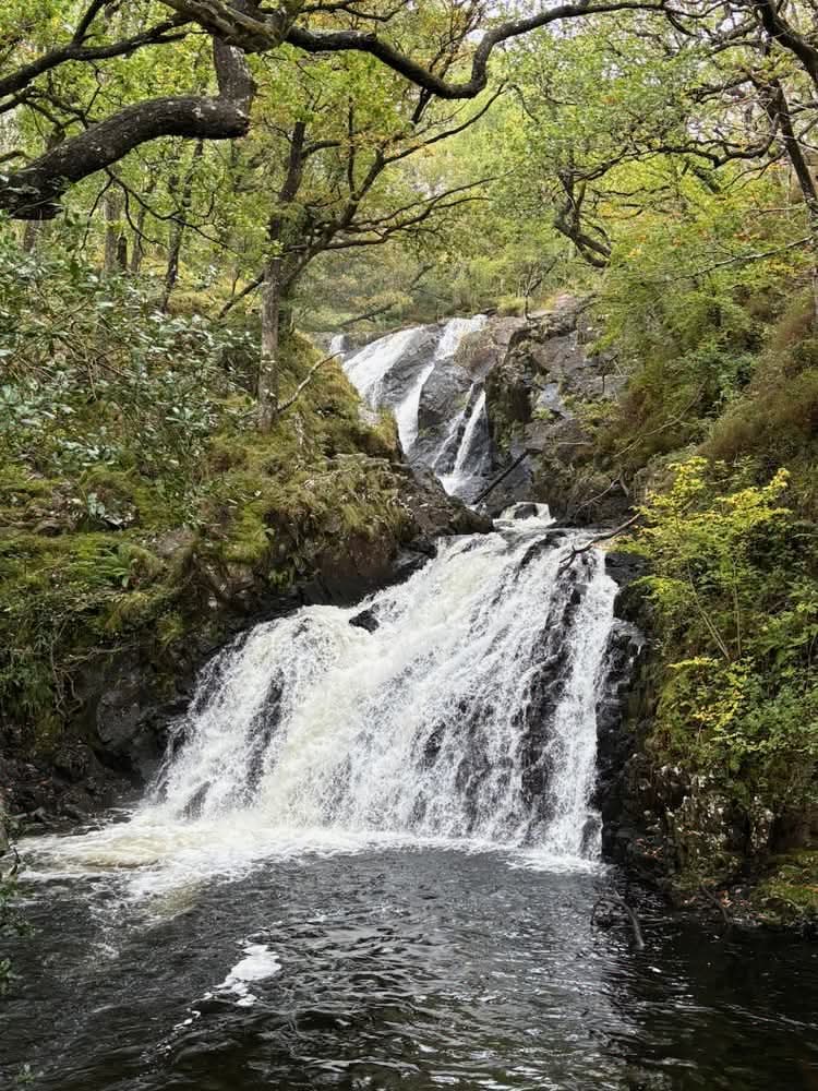
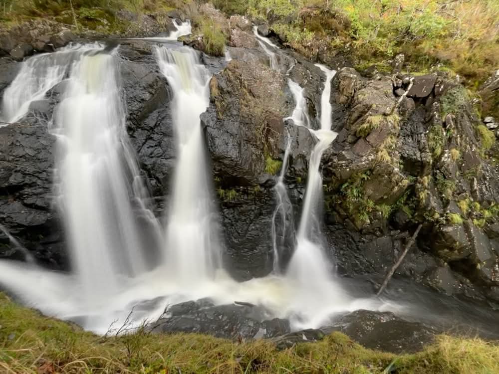
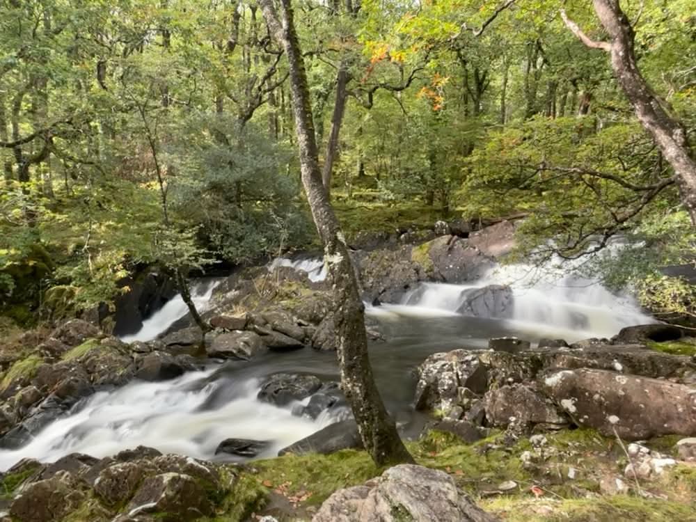
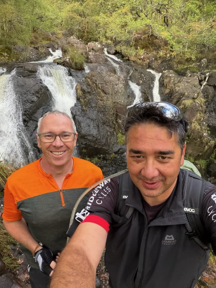
We then returned to our bikes, climbed a little to regain the trail and continued on our way. We soon came across familiar tracks and signs for various parts of the Tarw Trail. I’ve raced around here several times and know it well, so rather than stick to the fire roads, we took in some sections of slippery singletrack that follow them as we dropped down to the tunnel under the main A470. These trails didn’t look as though they are ridden as much as they used to be.
We then made our way to what’s left of the Coed y Brenin visitor centre. This used to be a bustling hub of activity, with a visitor centre, really nice café, car park, playgrounds, bike shop and trail centre. Nowadays much of this is closed. The toilets and showers are still open, as is the bike shop, but the café and visitor centre are currently closed. Mike took his bike in to get a new Shimano XT rear derailleur fitted while we sat in the sun eating the lunch we’d brought with us. Lunch in the café would have been ideal if it were still open, but the chicken korma flatbreads were a pretty good alternative.
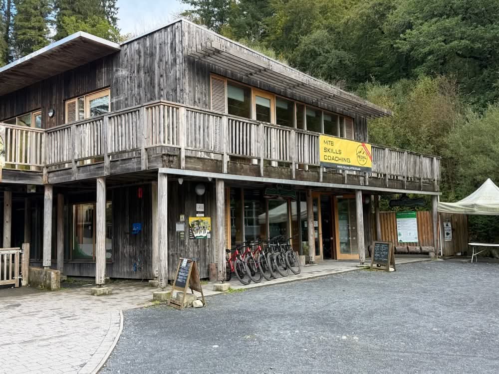
I’d had enough of my waterproof overshorts, so off they came along with my jacket. The sun was now out, but no doubt this move would bring the rain back!
The bike repair didn’t take too long, so in less than an hour we were on our way again, first along some of the Coed y Brenin singletrack and then onto the road that climbs through the middle of the trail centre area. I soon decided that lycra cycling shorts without overshorts were much more comfortable – the roadies had it right all along. Mike seemed to think I was cycling in just my underwear!
The tarmac soon gave way to gravel forest roads and then the rocky cobbles and step-ups of the Sarn Helen Roman Road, a feature that would become a constant companion along this trail. Again, I’d raced my MTB along here before, so I was aware of the steep section ahead of us. I knew it would be unrideable for me, especially with a rack and bag on the back of my bike, so I didn’t even attempt it. Mike, with the aid of his motor, managed most of it though.
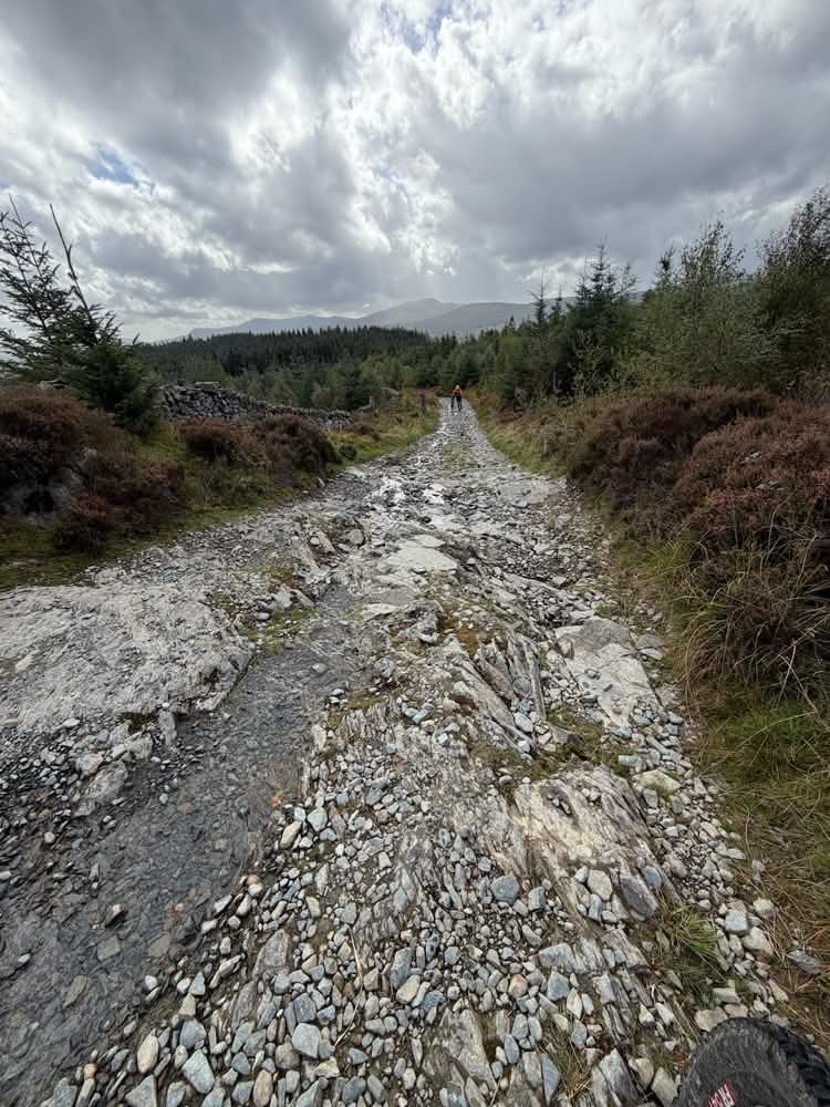
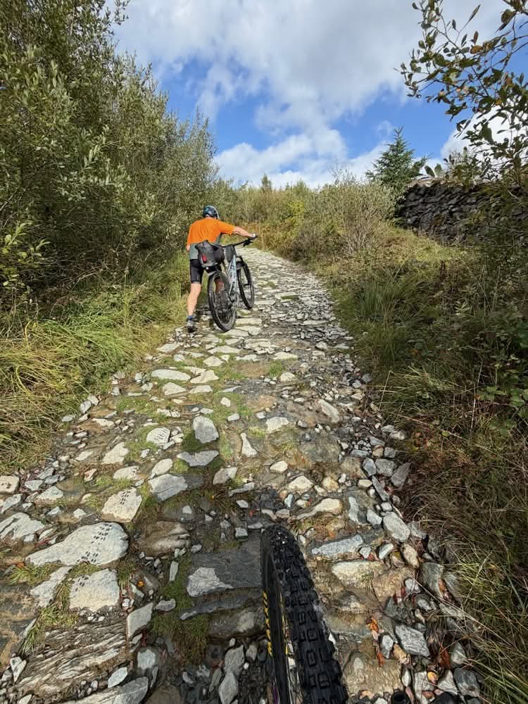
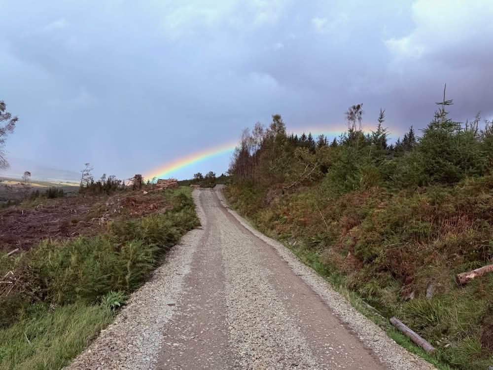
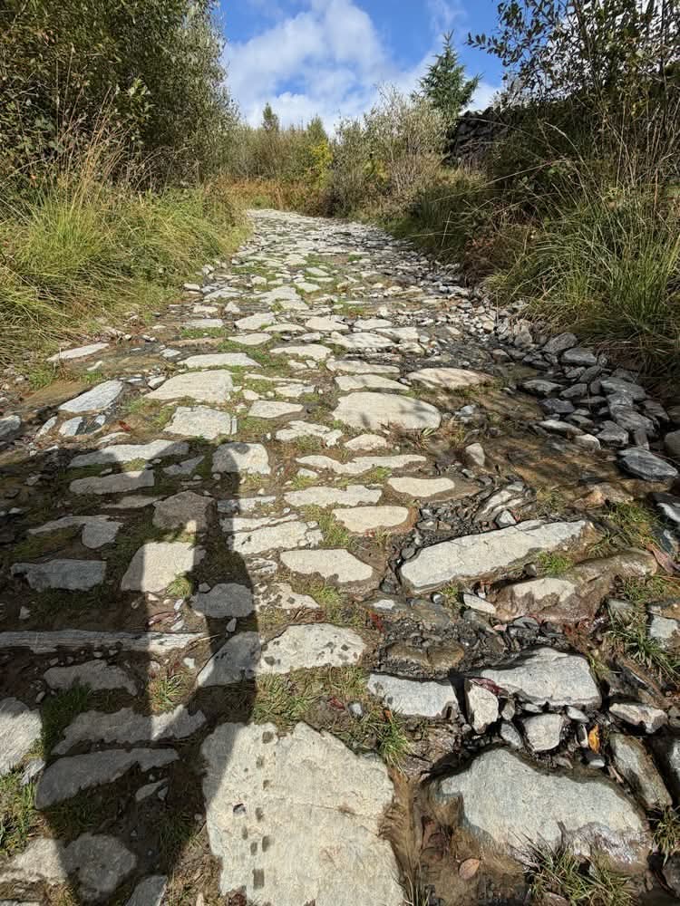
We then had a lovely section contouring along the hillside with panoramic views of the Rhinogydd to the west, parts of North Snowdonia ahead of us and Cadair Idris behind us. A few sharp showers rattled through, creating rainbows as they went. Mike stopped at one point and mentioned the fact that I had climbed all of the hills and summits we could see. I looked around and mentally checked them off – yep, he was right; I had indeed summited every high point we could see. Mike seemed quite impressed by this feat.
After the climb out of Coed y Brenin, we soon found ourselves rewarded with a winding descent on a small tarmac road all the way back down to the A470, which we crossed. We were now only about a mile from our final destination of the day, but first we had a clockwise circuit of Llyn Trawsfynydd to complete.
Llyn Trawsfynydd is a large artificial reservoir covering 1,200 acres, built between 1924 and 1928 to supply water for the Maentwrog hydroelectric power station. It was subsequently enlarged in the early 1960s to provide cooling water for the Trawsfynydd nuclear power station and is now about five miles long. It is also larger than Wales’s largest natural lake, Llyn Tegid.
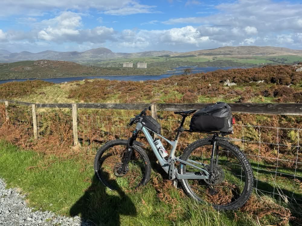
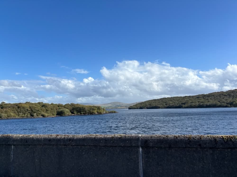
You’d think a loop of a lake would be relatively flat, but don’t be fooled; there’s a very steep and longer-than-expected climb on the western side. We stopped in the sunshine just before this climb to chill for a while, looking out over the lake.
The climb was indeed tough, but it was soon repaid with a nice descent on gravel tracks with swooping turns down towards the dam of the Maentwrog hydroelectric station. We had made good time today, so decided we’d stop at the café near the nuclear power station car park for a coffee. The ride through the woods was accompanied by numerous squirrels scampering around, burying autumn nuts to get them through the winter. The paths were strewn with leaves and things felt decidedly autumnal. Despite the sunshine, summer was definitely behind us.
We made our way under the imposing towers of the nuclear power station. There were a surprising number of cars in the staff car parks, so despite the fact that it stopped producing electricity in 1991, the process of waste removal, decontamination and decommissioning is still providing plenty of employment for the area. We stopped to read some information boards at a viewpoint and then found ourselves somewhat disappointed as the café was closed. We therefore continued on through slightly muddy tracks through the woodland, with glimpses of sunlight sparkling off the water. This was followed by a tarmac cycle path alongside the busy A470 into Trawsfynydd.
It was arguably the easiest day of the route, at only 27 miles with around 1,000m of climbing, but I started feeling a little sick and dizzy along this stretch, so I was glad when we finally stopped outside the Costcutter in Trawsfynydd. I clearly needed to refuel, so a pint of chocolate milk and a Double Decker soon got to work. I decided that was the perfect antidote, so went back into the shop for a second course of chocolate milk and another chocolate bar!
We then checked into the hostel, which was situated above the Costcutter. It was really nice, with dedicated secure bike storage, large, clean and comfortable rooms, and a nice kitchen.
Hostels often look a little tired, but this one was very modern, with clean white walls and nice prints on the walls of Traws Eryri, the Snowdonia Trail and artwork depicting the peaks of Wales.
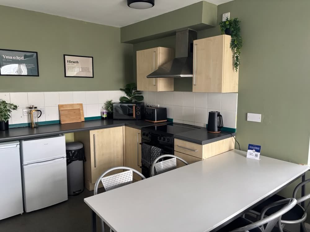
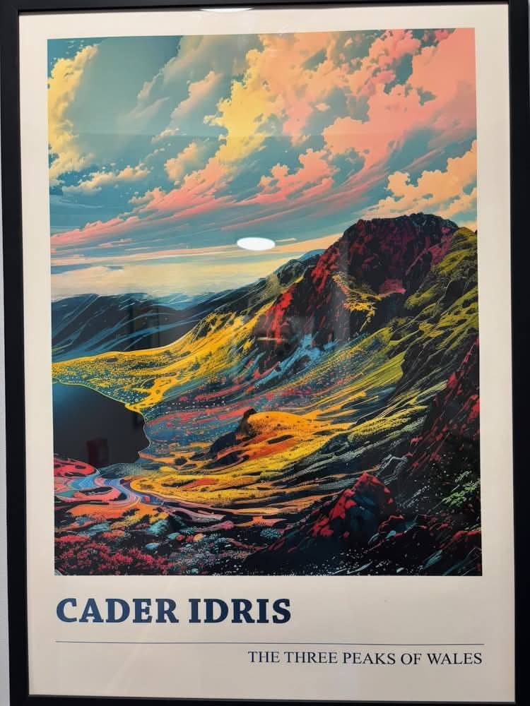
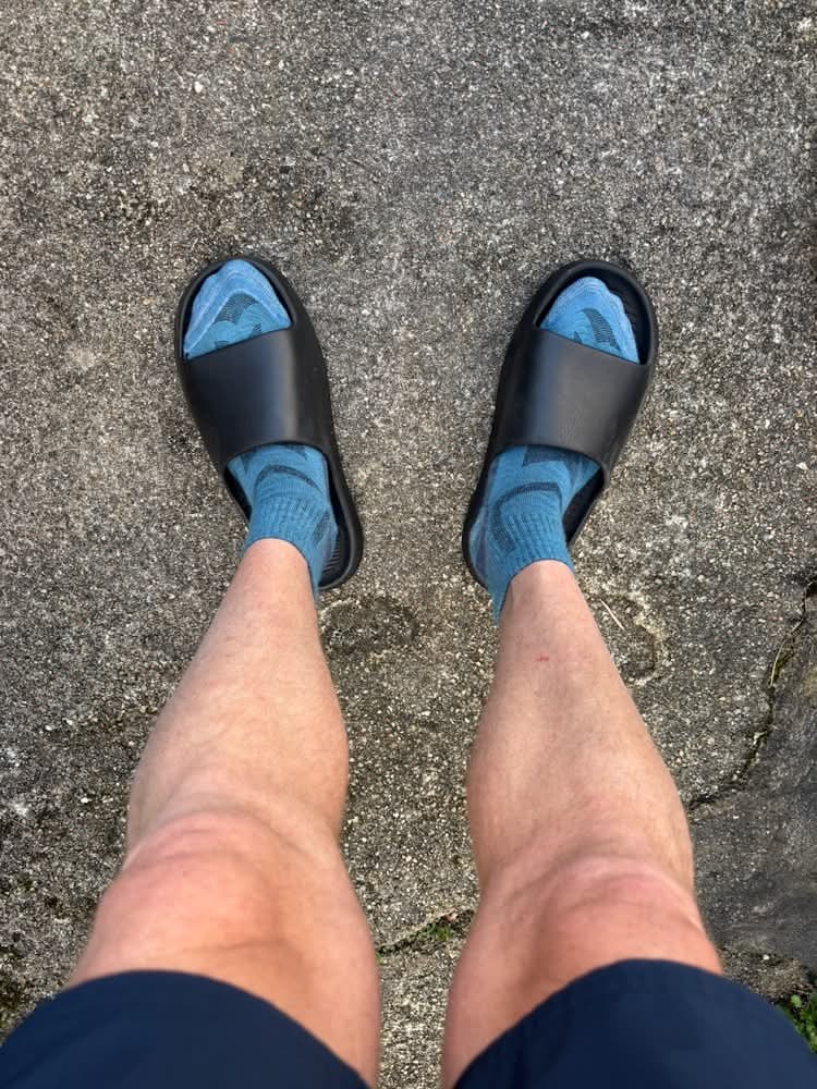
After chilling for a while, we headed to the Cross Foxes pub just down the road for dinner and drinks. The staff here were nice too, and the food was fine, although after the earlier chocolate-heavy refuelling I wasn’t actually that hungry and still didn’t feel 100%. I was rocking the socks and sliders – a dubious fashion choice, but they are lightweight, quick-drying and easy to clean so kinf of ideal for bike-packing!
We were now pretty much halfway through the Traws Eryri. Tomorrow we would be heading ever northwards, and the weather looked to be taking a turn for the worse.
Discover more from A Simple Life of Luxury
Subscribe to get the latest posts sent to your email.