Isle of Man Coast Path – Glen Mooar to Ballaugh
Whilst on the Isle of Man last weekend, I managed to tick off another small section of the Coast Path — the Raad ny Foillan.
Last time I’d made it as far as Glen Mooar, so that was where I had to start today. However, when we arrived in Kirk Michael, the road to the glen was closed for a walking event.
Plan B.
We parked in Kirk Michael instead, and I set off along the road, running the mile and a half past Glen Wyllin to rejoin the coast path at Glen Mooar. It added a bit of distance to the day, and meant I was running head-on into a constant stream of hi-vis clad walkers. There were hundreds of them.
Most offered a cheerful “Good morning,” or the inevitable “You’re going the wrong way!” I replied in kind, or joked that I’d already finished and was heading back. After the first 50 times, though, it did start to wear a bit thin, so I was glad to finally turn off towards the coast and leave them to it.
Glen Mooar to Kirk Michael
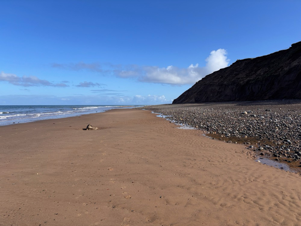
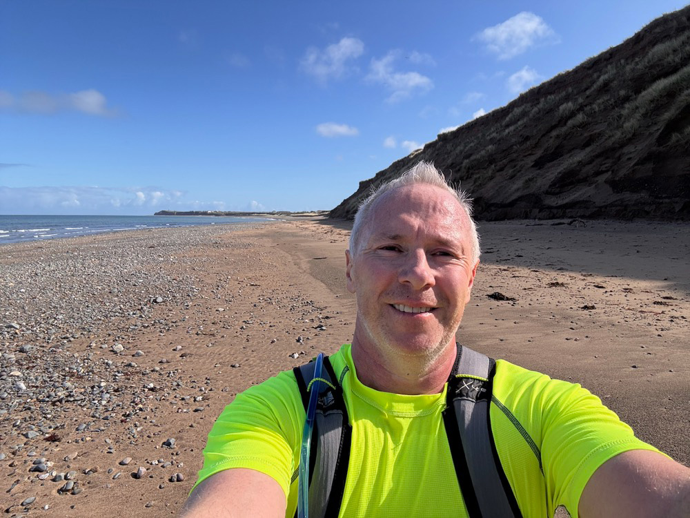
From Glen Mooar, I dropped down onto the beach and headed north, with a calm sea to my left and steep sandy cliffs rising to my right.
The running wasn’t easy. There were stretches of firm sand, but also softer, pebbly patches that kept breaking any rhythm. Progress slowed, but it didn’t matter — it was a good place to be.
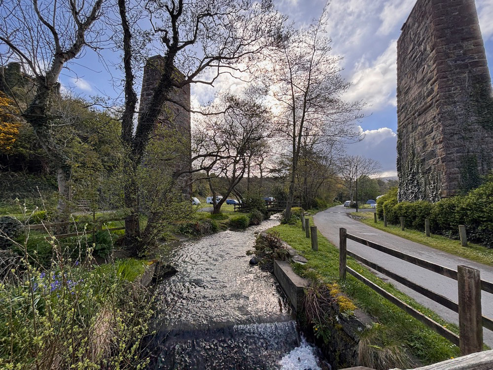
After a mile or so, the path cut inland slightly, passing through the campsite at Glen Wyllin — I’d run past here in the opposite direction not long ago. I crossed the river via a small bridge, climbed a short set of steps, and then joined the line of the old railway. From here, it was an easy, flat run back towards Kirk Michael.
Kirk Michael to Ballaugh
Crossing the road, I briefly rejoined the walking event at a feed station before continuing along the track.
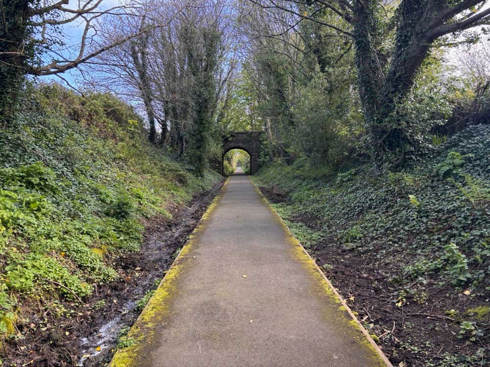
I passed the occasional dog walker out for a morning stroll and under several bridges. Eventually, I reached a barricaded bridge marking the end of this section.
A quick climb up and over, and I headed back towards the coast via quiet back roads, double tracks, and a grassy footpath that led down to another small bridge — and a slightly awkward scramble back onto the beach.
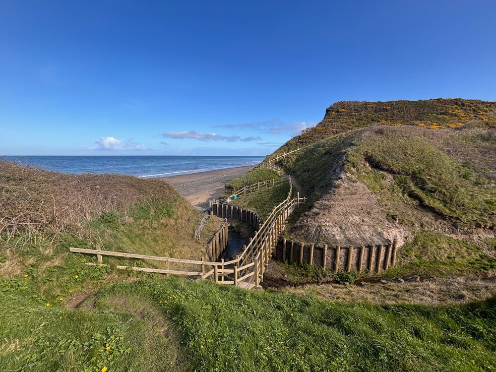
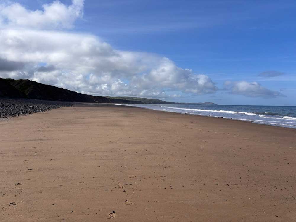
From here, it was a long stretch along sand and shingle beneath tall cliffs.
This section disappears completely at high tide, but I had a decent window before the sea pushed in. I tried to stick to the firmer sand near the water’s edge, though it was often rippled, puddled, or submerged, forcing me back onto softer ground. Still, I was moving well. The sun was out, the sea was calm, and I had the place almost entirely to myself.
Before long, I reached the access point at Ballaugh.
Back to the Car
I was on the wrong side of the river, but rather than doubling back, I waded through the calf-deep and very refreshing water, before climbing up into the car park
A quick check of the map revealed that Anna and Pat were actually parked about two miles away… along the road, but back in the direction I’d just come from.
I briefly considered continuing along the coast and meeting them further on, but instead turned and ran back along the road, straight into the walking event once again.
By now, I was passing many of the same people as before. A few recognised me, which made the repeated “Good mornings” slightly more amusing this time around. I’d covered around seven miles along the beach, while they’d taken a much more direct route along the road.
Eventually, I reached Ballaugh, found Anna and Pat, stopped the watch, and got changed.
In total, it was an 8.5-mile run — though only just over five miles of that was actually on the Coast Path.
Still, better than none.
At this rate, it might take me a while to complete the whole route… but I’m in no rush.
Discover more from A Simple Life of Luxury
Subscribe to get the latest posts sent to your email.