Wales Coast Path Run – Chepstow to Redbrook
Coast Path Vital Stats
Chepstow to Redbrook
- Distance: 15.19 miles
- Elevation Gain Today: 184m
- Highest Elevation: 54m
- Time: 2:29:00
- Av. Pace: 9:48 mins/mile
- Av. Heart Rate: 129bpm
- Max Heart Rate: 158bpm
- Calories: 1305
Totals to Date
- Total Distance: 649 miles
- Total Time: 121:31:50
- Total Elevation Gain: 20494
- Total Calories: 59102
- Distance to go: 441 miles
Having finished Offa’s Dyke path on my last run, it was time to join the Wales Coast path once again. The first stint was going to be from Chepstow all the way to Newport as there was little opportunity in between for buses back to the start point. This would have been a run close to 30 miles though. However, what with weekends away, Christmas and other commitments I hadn’t done any long runs for a while so running 30 miles straight off was going to be a little too much. Fortunately we had a weekend away planned that would take us into South Wales. An extra day was booked off either side of the weekend so that I could do two shorter runs. Anna would be with me so would be able to meet me in the middle with the car meaning there would be no need for public transport – perfect.
Driving through the snow
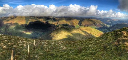
We dropped the camper off for it’s service and MOT. We dropped Morgan off at school as he was off on a ski trip for the week. We then headed off towards South Wales through the snow and ice. The roads were actually pretty clear, but there was plenty of snow all around. Parts of the drive were particularly scenic where snow lay thick on the branches of trees overhanging the road, or where large drifts had accumulated in the hills.
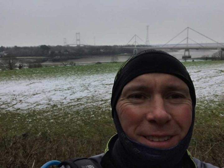
We arrived in Chepstow just before Midday. Some of the smaller roads we had seen on the drive were still quite thick with snow so we made some contingency plans should Anna not be able to drive to the designated meeting place. With plans made I headed off to start my run. First I had to make my way backwards along the coast path to find the starting point. As I did, I saw someone else running in the opposite direction, complete with rucksack just like me. The temperature was around 2ºC so I had hat and gloves on, as well as a jacket. I was taking things gingerly on the icy ground too.
Running through Chepstow
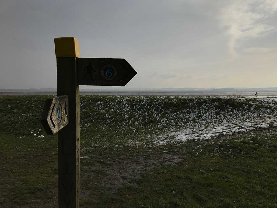
I made my way to the Bridge over the River Wye which is the start of the Wales Coast Path. The cliffs on the far side of the River were part of my run on the Offa’s Dyke Path last time
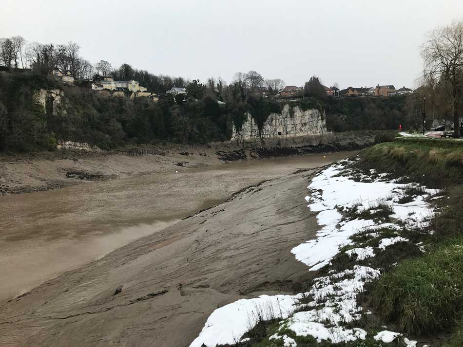
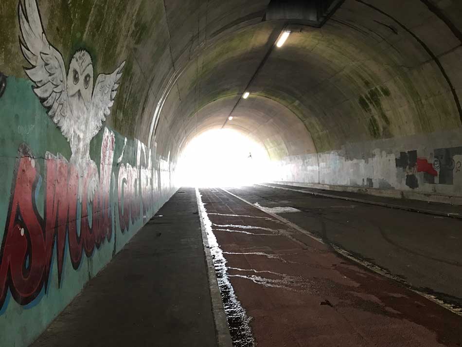
I couldn’t see any big signs to say exactly where the start was but soon found a Coast Path sign and a few standing stones which I assume mark the beginning. Obviously, this isn’t the beginning of the path for me as I have already run around all of North Wales and the entire length of the border along Offa’s Dyke Path. For me this was just a continuation of the journey around Wales. For many though Chepstow marks the start of their adventures as it is the official start (or end) point of the Wales Coast Path. I was soon following the familiar signs through the streets of Chepstow. I overtook the guy I had seen earlier as I wove my way along little cobble lanes, under subways and then up a steep hill into the suburbs.
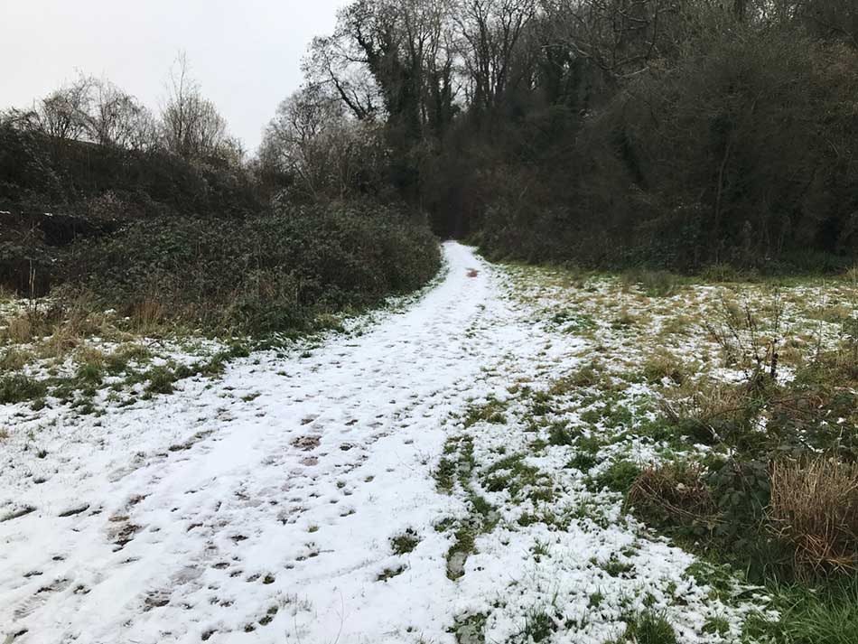
I was soon out onto a little trail through a scrubby woodland high above the River Wye. There was still quite a bit of snow on the ground so I was glad to be off the tarmac and onto trails where it seems less slippery.
The path took me up and down through some woodlands, alongside playing fields and then back into some residential suburbs of Chepstow before opening out onto fields with views of the M48 Severn Bridge and a bridge over the River Wye.

Bridges Old Severn Bridge Chepstow Selfie
It was then back into the more industrial areas of Chepstow before running under the M48 and alongside more industrial units.
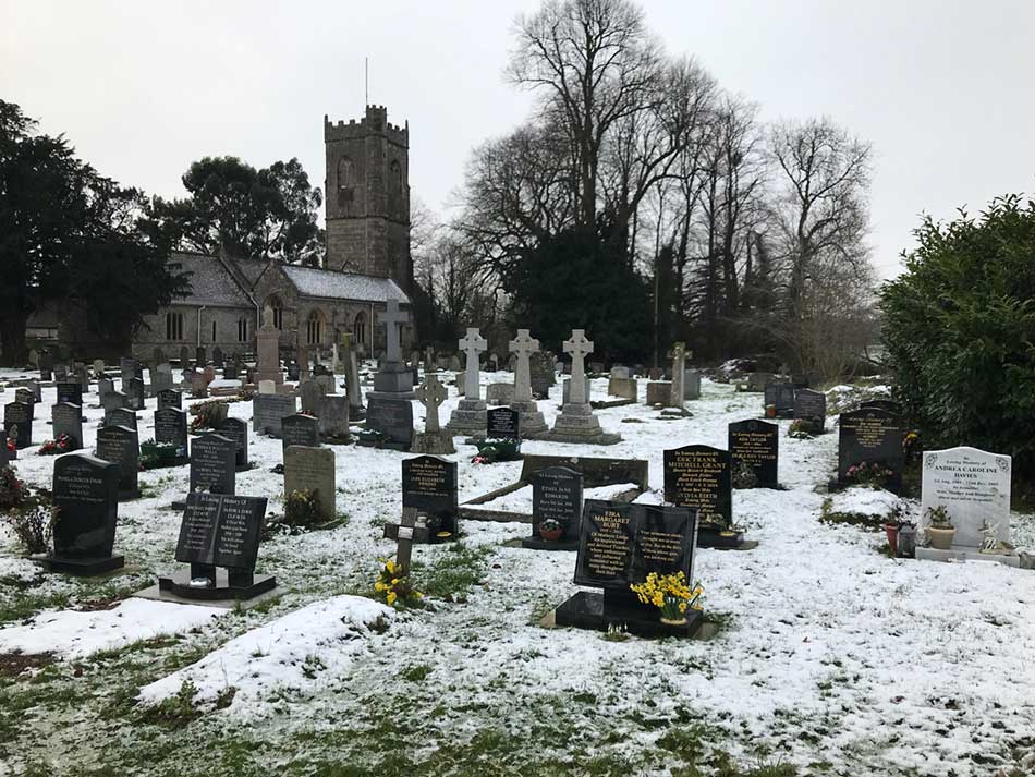
There was then some open parkland with undulating paths sandwiched between an industrial estate and the noise of the M48 motorway. I finally left Chepstow behind me, ran past the church of St. Tewdric and then out onto a Golf Course.
Towards the River Severn
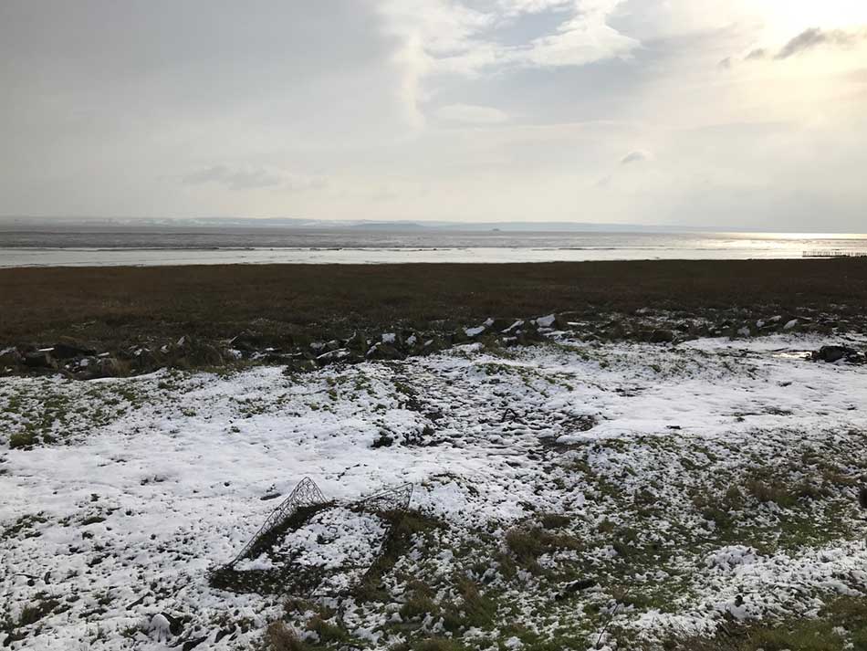
Things were much more rural now as I ran through muddy fields. The snowmelt had made them particularly water-logged as I sploshed my way through them with snow clumping onto my shoes and flicking up the back of my legs as I ran.
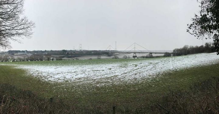
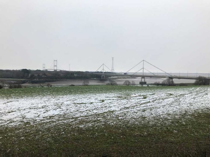
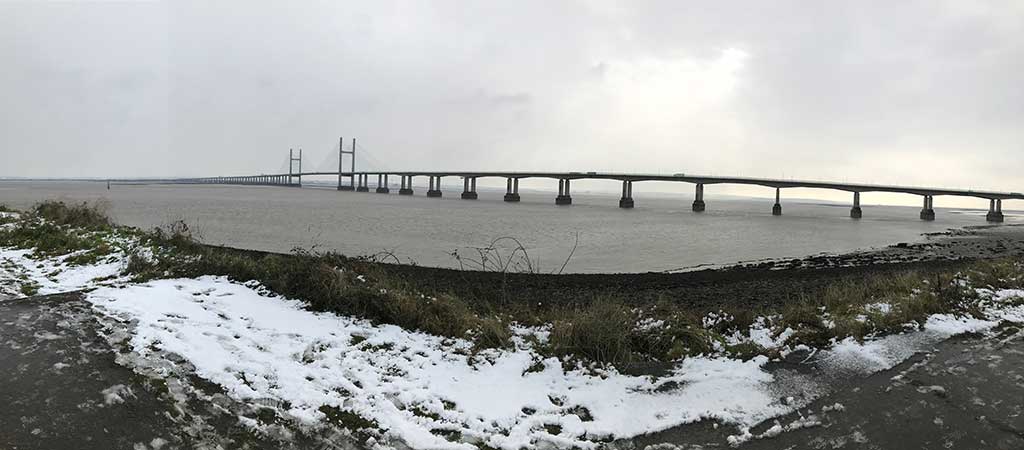
Soon I emerged out onto the banks of the River Severn with the huge M4 Second Severn Crossing bridge ahead of me.
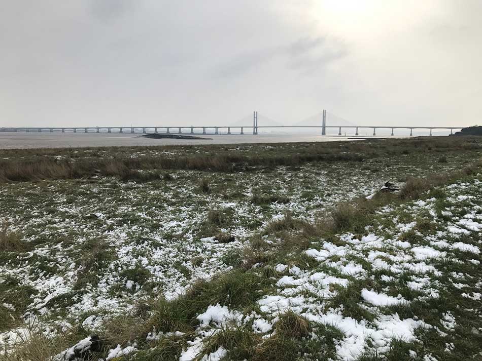
With 5 miles under my belt I checked in with Anna to update her of my progress. The roads looked fine where she was so we were going with plan A. I said I was approaching the Bridge but as I continued to run it became clear that it was still quite a way off. It’s so huge that it looked closer than it was!
I ran along the coast for mile after mile with only the mudflats, an occasional bird and the ever looming presence of the bridge for company.
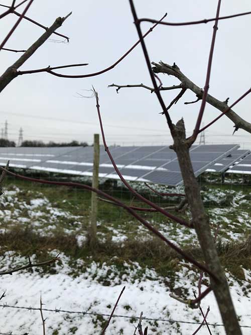
The path did detour inland for a little while as I ran past a field of solar panels – modern agriculture for a power hungry world. I was then taken through the sleepy, industrial looking village of Sudbrook and then out past Sudbrook Hill Fort.
The Second Severn Crossing and M4
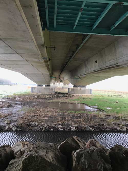
I re-emerged onto the banks of the Severn a little closer to bridge and now ran along an embankment all the way towards the huge concrete supports.

I’ve driven over the bridge countless times but it’s not until you are within it’s shadow that you realise just how big it is. The engineering feat is impressive and it has a majesty of it’s own. The overall span of the bridge paints a fairly attractive silhouette, but up close it is a huge concrete and steel monster.
The path took me right under it’s western end and then I continued to run along side the mudflats of the Severn atop an embankment.
The M4 was now to my right and there was no escaping the constant roar of the traffic. I thought I might get used to it only to notice it’s absence once I left it behind, but that wasn’t the case. The roar of the traffic was deafening along here as people sped along the main artery into Wales.
The path then took me over the top of the M4 and out into muddy fields once again.
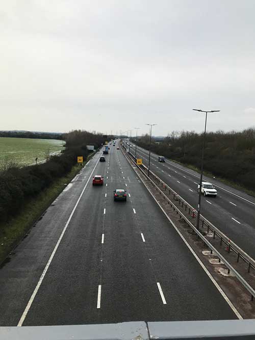
These gave way to lanes and cyclepaths and then once again another bridge over the top of the M4 from where I could see the continued dismantling of the toll booths. The toll into Wales were scrapped just before Christmas and work is continuing to remove the infrastructure. From this vantage point it’s possible to see just how wide the M4 was here.
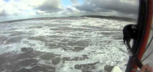
Onto the Severn Estuary
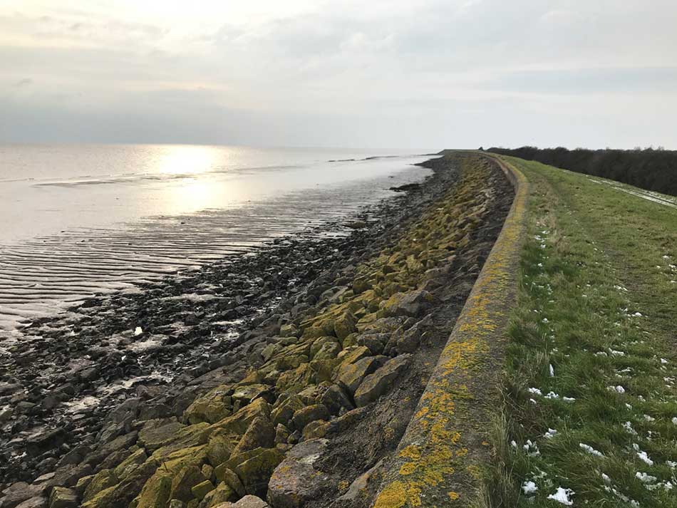
After a mile or so along country lanes I emerged out onto the Severn Estuary and up onto an embankment atop the seawall. From here the route was to follow the coastline atop this embankment for the rest of my run. It was muddy and slippery, there was still snow on the ground but I was running well and making good time.
The skies were grey, the mudflats dark brown and the waters of the Severn Estuary were somewhere in between with their usual shade of muddy grey. There was little to look at really. I could just make out some snow covered hills on the opposite side of the expanse of water and I could see Denny Island in the middle of the Severn Estuary for much of the run.
Other than that it was the endless plod of one foot in front of the other along the top of the dead flat embankment. There were little gates to break up the monotony every so often, These were accompanied by pumping stations or little water outflows, presumably draining the farmland behind the embankment. The seawall snaked it’s way along the coast in long sweeping bends so at least it wasn’t a dead straight, seemingly endless run as I could never quite see my destination.
Eventually though I made it to the turning for Redbrook where I dropped down of the seawall embankment an onto a muddy lane. I ran through an even muddier farmyard out into the village of Redbrook where Anna was waiting in the Rose Inn Car Park for me.
A quick change and it was off onto the M4, over the bridge and to my parents house. I did of course point out all of the bridges I had ran across and some of the places I’d been on my run. The plan was to return to Redbrook after a weekend away so that I could do a similar distance run from there to Newport.
There’s still a very long way to go but I was once again back out and running the Wales Coast Path


– modern agriculture for a power hungry world. Very good description Alan.
I you rewarded each other with something in the Rose.