Wales Coast Path Run – Holyhead to Church Bay
Coast Path Vital Stats
Holyhead to Church Bay
- Distance: 15.63 miles
- Elevation Gain Today: 260m
- Highest Elevation: 66m
- Time: 2:55:21
- Av. Pace: 11:13 mins/mile
- Av. Heart Rate:
- Max Heart Rate:
- Calories: 1775
Totals to Date
- Total Distance: 301.93 miles
- Total Time: 55:47:276
- Total Elevation Gain: 8278
- Total Calories: 28758
- Distance to go: 588 miles
After driving 3 hours to South Wales for a Cyclo-cross race on Sunday I was at it again, this time driving to North Wales for my Coast Path run from Holyhead to Church Bay. Yep, for the second week in a row I was continuing my attempt to run around the entire periphery of Wales. So far I’ve made it from Llanrhystud in Cardigan Bay, all the way around the various estuaries of Cardigan bay, out onto and around the Lleyn Peninsula and then across the Menai Straits onto Anglesey. With this latest section done I’ve completed Holy Island and have made it back onto Anglesey but there’s still a long way to go.
Out of Holyhead
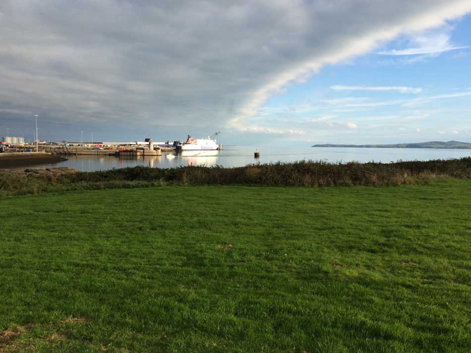
The drive up was pretty quick today and I arrived in Holyhead at about 8:30am, just 2 hours after leaving home. I parked in a little Pay & Display car park, put on my running shoes and set off. The first thing I did was run up some steps to a footbridge across the road and part of the harbour and then ran through the railway station. The Coast Path signs then took me along Shore Road as I started to make my way out of Holyhead. I ran past various housing estates on my right, with the harbour on my left. There was a large Stena Line Ferry in the dock and the band of clouds was moving west so the sun was shining. In fact it was quite warm already.
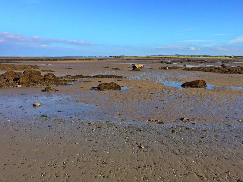
The path soon went from the tarmac of Holyhead suburbs onto long wet grass as I headed along to shore towards the huge chimney that towers over Holyhead. I ran past Penrhos Beach. The tide was out so there were huge expanses of mud and sand, interspersed with jagged rocks and little headlands. The were a number of people out walking dogs too as I continued on my way at a decent pace. I was making good time on what were fairly good paths with little to speak of gradients.
-

- Holyhead Ferry Terminal
-
- Penrhos Beach
The path led me through some welcome shade of little woodlands that lined the shore here as I entered Penrhos Coastal park. The cool woodlands were nice to run through with wide easy paths that twisted through the trees. I emerged out into a large field at one point and climbed up to a viewpoint, before descending back down into the woodland.
Penrhos Coastal Park
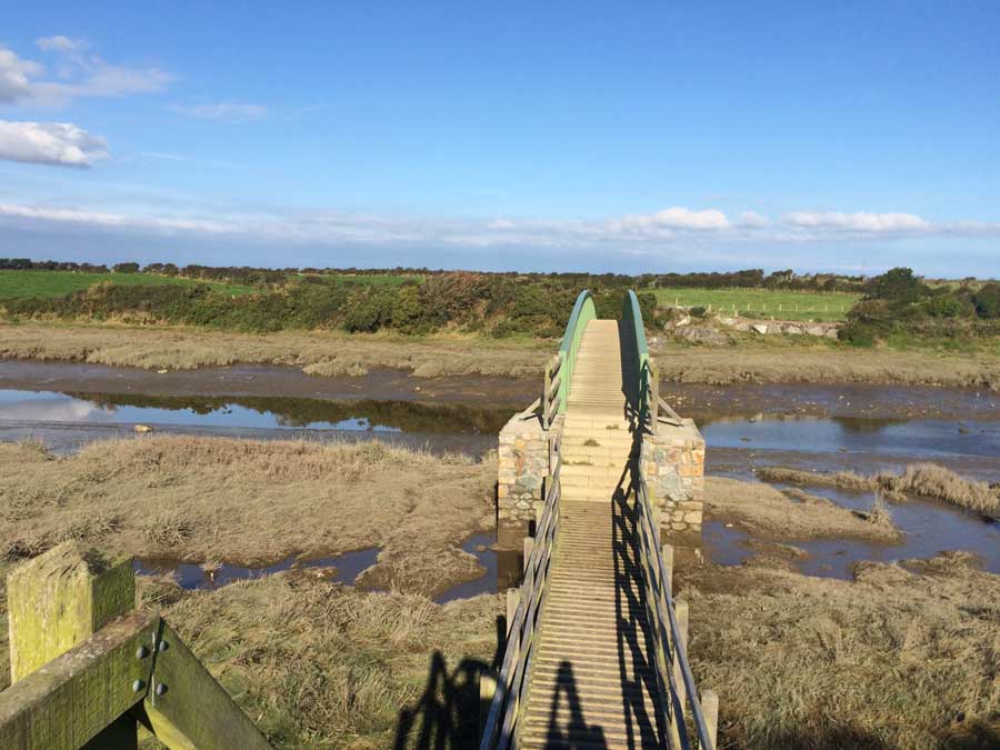
I then came out into a small car park for the coastal park and turned left onto the Stanley Embankment that joins Holy Island to Anglesey and contains the A5 and A55 roads. The water rushing from the Inland Sea into Beddmanarch Bay was cascading through the little outlet creating huge mounds of foam. I crossed onto Anglesey, leaving Holyhead and Holy Island behind me. Once on Anglesey I turn left again and ran down onto the shingly beach.
It had been a while since I’d been running on a beach as the last few runs had all been along clifftops.
Beaches and Estuaries
The going was of course a little slower once onto the unforgiving, energy sapping sand and shingle of the beach. At times it was quite rocky too so care had to be taken with foot placement. It was a lovely day though with mirror calm water in the estuary and a blazing sun. Fortunately the small cliffs along the beach provided me with some shade. I was still making good time though, although the omnipresent chimney that I had ran past earlier didn’t ever seem to get much further away. It could be seen at all times across the waters as I meandered my way along the coastline.
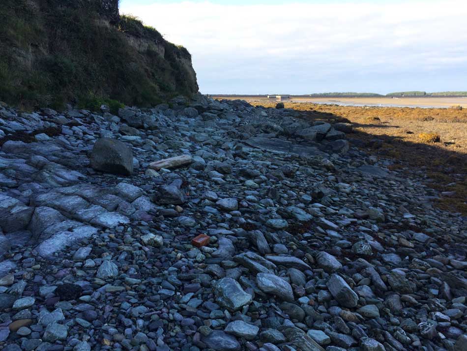
Rocky Beach – Tough Going but some welcome shade
The Coast Path took me along the southern edge of a sandy, muddy estuary through which the Afon Alaw flowed. It was lovely and peaceful along here as I made my way along the narrow, grassy paths that followed the edges of fields and eventually led to a bridge over the river.
Peaceful Beaches
Foot Bridge over Afon Alaw
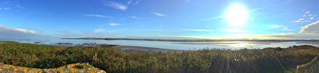
Once over the bridge I turned left and ran back along the other side of the estuary out towards the main bay once again. As usual, Holyhead and it’s towering chimney could be seen across the waters, as could Ferries coming and going from the port. The footpath weaved it’s way along fields boundaries and over roughly grazed dunes to finally emerge out onto the wide expanses of sand at Traeth y Gribin. Yep, more running along the beach.
Traeth y Gribin
The Coast Path was at least fairly easy to follow in most places and the signposts were good.
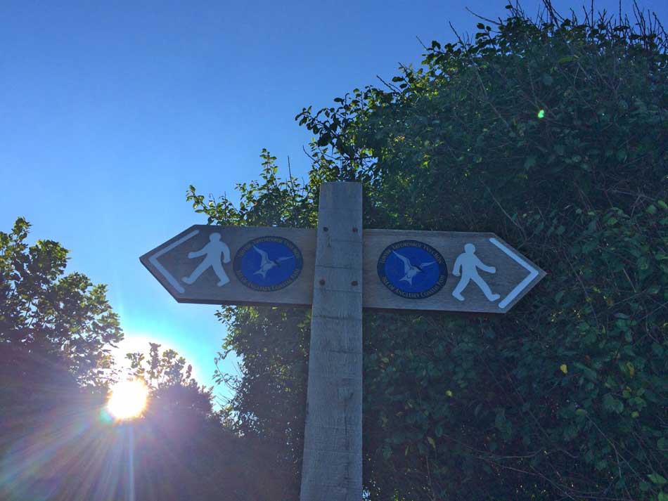
Coast path Signs
Varied Coastline
It was quite varied too. Sometimes I was running along rocky coastline, others on soft sand, other times over shingly beach and then up onto grassy paths around fields.
On I went past increasingly rocky coves and sandy beaches. Holyhead was still visible across the water but I did feel as though I was at last leaving it behind as I started heading north along the coast. The coves were getting smaller and more remote and the coastline becoming more rocky.
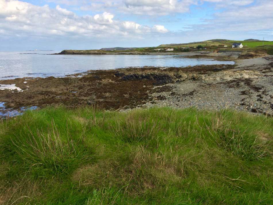
Rocky Bays
There were plenty of trail snacks along the way too, although after about mile 11 I started to slow. In fact there was a little bit of walking going on here and there after running through the caravans of a large caravan site. I only had a few miles to go though until my final destination of Church Bay. I could see a church in one of the valleys up ahead so assumed that was where I was headed.
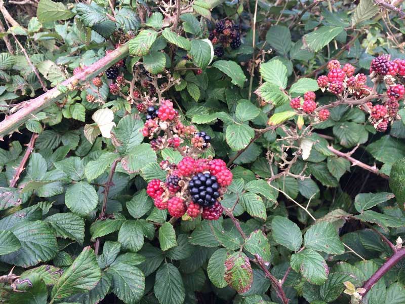
Trail Snacks
The final few miles were a little slower than the earlier miles, but I came out into the little sandy beach of Church Bay and then headed inland towards Rhydwyn where I had planned to catch the bus. The coastal part of my day was over as I left the rocky shoreline behind me.
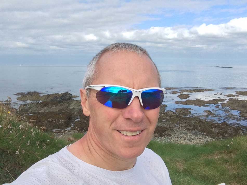
Anglesey Selfie
Rather than follow the roads I took some footpaths through various fields and herds of cows. I had about 90 minutes until the bus was due though, so when I reached Rhydwyn I decided to continue on to Llanfaethlu instead. This was a couple of miles down the road but at least there was a little shop there where I could get some lunch. There was also a bench to sit on in the sunshine while I waited for the bus to come.
Thankfully the bus was on time and I was soon on it and weaving my way through the country lanes back towards Holyhead and my car home. Another long day out in Wales, but yet more progress has been made on my Wales Coast Path adventure.


Sounds an unusual uneventful run, with no mad killer cows no peculiar people on the bus stop and the bus arrived on time ! x